Golden Bridges (Zlatnite Mostove) Trail
How would you rate Golden Bridges (Zlatnite Mostove) Trail?
Tap a star to share your experience and help other hikers.
Golden Bridges (Zlatnite Mostove) Trail: Vitosha’s Stone River Walk
HikeList Score
Golden Bridges (Zlatnite Mostove) Trail scored 81/100 on HikeList's trail-quality metrics.
See score breakdownHide breakdown
- Ideal length 55
- Balanced challenge 100
- Scenery & wildness 98
- Varied terrain 64
- Accommodation 66
- Food & support 88
- Path quality 98
- Season flexibility 89
Computed from length, challenge, scenery & wildness, terrain variety, accommodation, food & support, path quality and season flexibility.
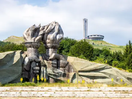
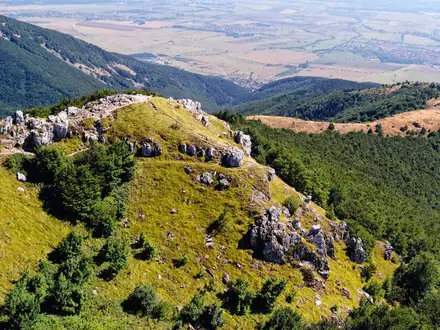
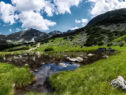
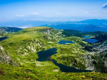
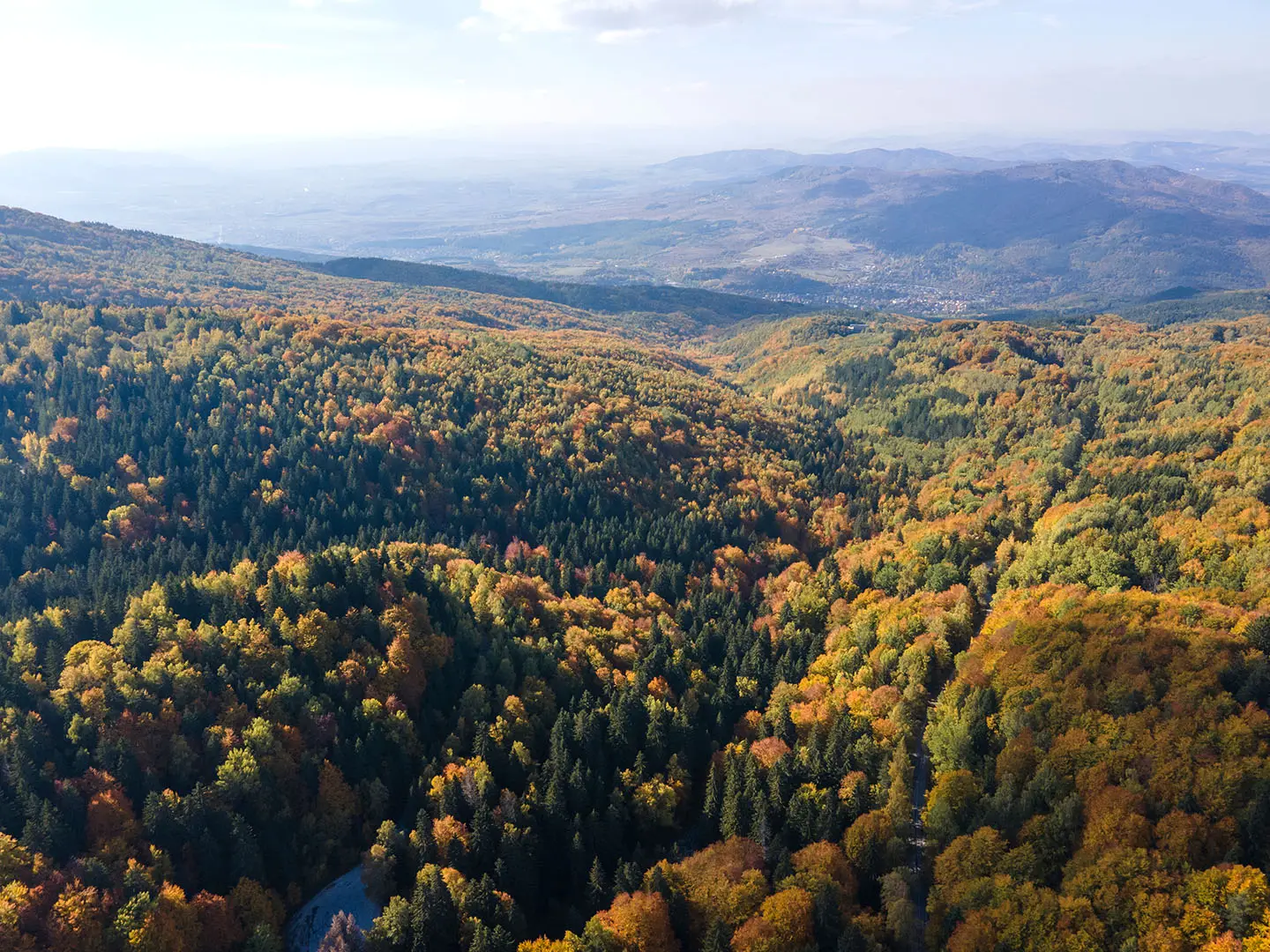
The Golden Bridges (Zlatnite Mostove) Trail is a ~6.5 km out-and-back day hike on the north-western slopes of Vitosha Mountain, just south-west of Sofia in Bulgaria. It explores the protected stone-river area above the Vladaya district, with about 400 m of ascent and a moderate rating. The walking is mostly forest path, but the syenite boulder field is uneven and slippery when wet. It suits Sofia-based hikers wanting a half-day mountain walk without overnight logistics.
Route Overview
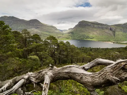
Start at the main car park and bus terminus beside the Zlatnite Mostove stone river. The standard walk follows the Vladayska River up through shaded forest and the boulder-filled stone-river area, then returns the same way, making it a simple out-and-back rather than a fixed long-distance route. Nearby huts and waypoints include Momina Skala, Boeritsa and Kumata, while marked onward routes branch towards Kopitoto, Vladaya/Knyazhevo, the Vitosha plateau and Aleko hut. Golden Bridges is also a gateway to longer Vitosha hikes such as the Boyana Waterfall Trail and the Cherni Vrah Summit Trail.
Vitosha and the Birth of Bulgarian Hiking
Vitosha is closely tied to organised tourism in Bulgaria. On 27 August 1895, the writer Aleko Konstantinov led a mass climb of Cherni Vrah, Vitosha’s 2,290 m high point; that event led to the founding of the Bulgarian Tourist Union, and Aleko is remembered as the father of the Bulgarian hiking movement. The Golden Bridges area became a favourite weekend destination for Sofia residents from the early 20th century. Vitosha was declared Bulgaria’s first nature park in 1934.
Notable highlights
- Golden Bridges stone river (2.2 km long, up to 150 m wide): The trail’s namesake is the largest stone river in Vitosha, made of rounded syenite boulders filling the Vladayska River bed. Hikers can clamber across sections like stepping stones.
- Golden lichens: Yellow-green lichens coat many of the rocks and glow gold in sunlight, giving Zlatnite Mostove its name. The colour is especially noticeable from late spring to autumn.
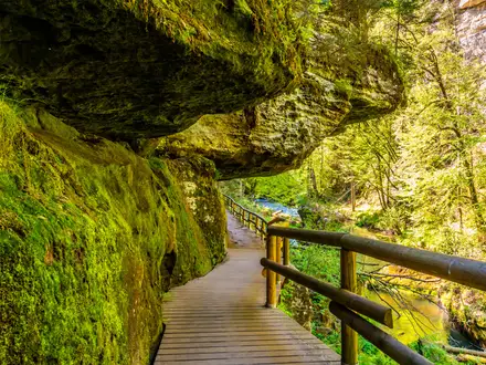
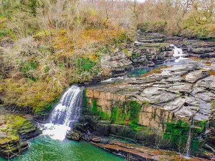
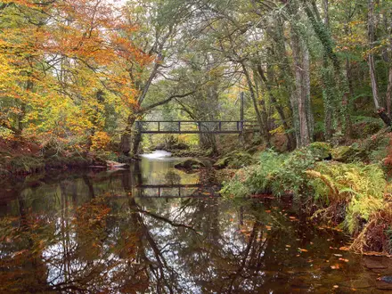
- Vladayska River and forest: The route follows the river through pine, beech and spruce forest, with small cascades and pools. It is a cool, shaded option in summer.
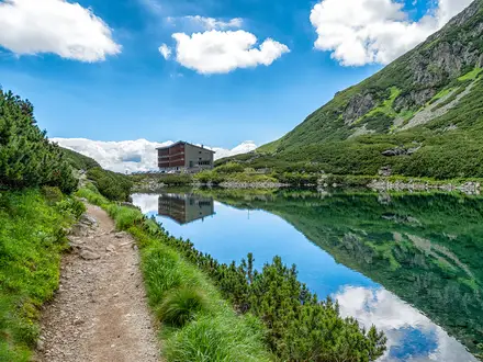
- Mountain huts (hizhas): Momina Skala, Boeritsa and Kumata sit in the wider area and serve as food stops, refuges and navigation landmarks.
- Gateway to Vitosha: From Golden Bridges, marked routes continue towards Boyana Waterfall, Aleko hut, the Vitosha plateau and Cherni Vrah. For a more committed Bulgarian mountain outing, compare the Central Balkan Ridge Trail; for a different rock-landscape walk, see the Belogradchik Rocks Trail.
Challenges to expect
The main challenge is footing. The forest trail is generally straightforward, but the syenite boulders are uneven, mossy and slippery after rain. Roots, rocks and damp dirt are common underfoot. In winter the area is used for snowshoeing and cross-country skiing, but the boulder walk is best avoided in deep snow or ice. Weekend and holiday road closures can affect car access around late morning to mid-afternoon.
HikeList Score
Golden Bridges (Zlatnite Mostove) Trail scored 81/100 on HikeList's trail-quality metrics.
See score breakdownHide breakdown
- Ideal length 55
- Balanced challenge 100
- Scenery & wildness 98
- Varied terrain 64
- Accommodation 66
- Food & support 88
- Path quality 98
- Season flexibility 89
Computed from length, challenge, scenery & wildness, terrain variety, accommodation, food & support, path quality and season flexibility.
 Bulgaria
Show more data Show less
- Mountainous
- Forest
- Dirt
- Rocky
- Hotels
- Huts
- Family Friendly
- Pet Friendly
- Restrooms
- Water Sources
- Campsites
- Shelters
- Picnic Areas
Photos from hikers
Taken on the trail by people who've reviewed Golden Bridges (Zlatnite Mostove) Trail.
Reviews
How would you rate Golden Bridges (Zlatnite Mostove) Trail?
Tap a star to start your review — you could be the first.