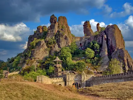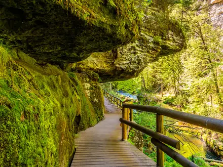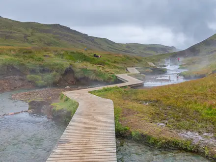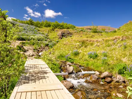
Beinn Eighe Mountain Trail
How would you rate Beinn Eighe Mountain Trail?
Tap a star to share your experience and help other hikers.
Beinn Eighe Mountain Trail: A Short, Steep Torridon Mountain Walk
HikeList Score
Beinn Eighe Mountain Trail scored 76/100 on HikeList's trail-quality metrics.
See score breakdownHide breakdown
- Ideal length 55
- Balanced challenge 74
- Scenery & wildness 85
- Varied terrain 83
- Accommodation 83
- Food & support 68
- Path quality 98
- Season flexibility 89
Computed from length, challenge, scenery & wildness, terrain variety, accommodation, food & support, path quality and season flexibility.
The Beinn Eighe Mountain Trail is a 6.5 km waymarked loop in Beinn Eighe National Nature Reserve, near Kinlochewe in Wester Ross, Scotland. It is a hard half-day walk rather than a casual forest trail: expect roughly 560 m of ascent, steep rocky ground and an exposed quartzite plateau. It suits hikers who want a compact but serious mountain outing with Loch Maree views. It is not the full Munro ascent of Beinn Eighe. For longer Scottish trips, compare the Assynt Coastal Path or Arran Coastal Way.
Route Overview
The route starts and finishes at the Coille na Glas-leitir trails car park on the A832, a little under 2 miles north-west of Kinlochewe, on the Loch Maree side of the road. It shares its start with the shorter Woodland Trail, then climbs through the ancient Scots pinewood of Coille na Glas-leitir before heading steeply up Leathad Buidhe. The upper half crosses rough quartzite boulders, stone steps and bare slabs to the open plateau and the Conservation Cairn at about 550 m. From there the loop descends by a different line back to the same car park. The NatureScot visitor centre and toilets are nearby on the A832 and are seasonal.
Beinn Eighe National Nature Reserve
Beinn Eighe became Britain’s first National Nature Reserve in 1951, created to protect the ancient Caledonian pinewood of Coille na Glas-leitir, the mountain’s geology and its montane wildlife. The reserve covers pinewood, moorland and the quartzite-capped Beinn Eighe massif. The Mountain Trail was developed as an interpretive route, letting walkers move from old Scots pine forest to an arctic-alpine plateau without attempting the much longer Munro ascent of Beinn Eighe.
Notable highlights
Britain’s only waymarked mountain trail: This route is widely promoted as the UK’s sole purpose-built, waymarked mountain walk, with large cairns guiding hikers across the exposed upper ground.
Ancient Caledonian pinewood, Coille na Glas-leitir: The lower trail passes through old Scots pinewood, a key reason the Beinn Eighe reserve was created.
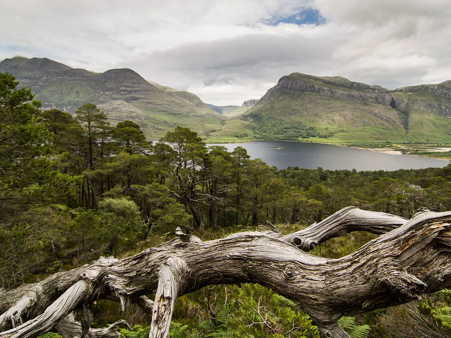
Conservation Cairn viewpoint: At roughly 550–560 m, this large cairn gives wide views over Loch Maree, Slioch and the quartzite ridges of Beinn Eighe.
Glacier-scraped quartzite plateau: The upper section crosses pale, rocky quartzite with small lochans and a stark high-mountain feel above the forest.
Loch Maree and Slioch: The upper trail has repeated views down to Loch Maree and across to the wedge-shaped peak of Slioch, one of the classic Wester Ross mountain scenes.
Challenges to expect
The difficulty comes from the gradient and terrain, not the distance. The trail climbs steeply from forest to an exposed rocky plateau, with rough quartzite boulders, stone steps and bare slabs underfoot. There is little shelter on the upper section, and cloud, wind or rain can make it feel like a proper hill day. Wear hillwalking boots and carry full waterproof and windproof clothing.
HikeList Score
Beinn Eighe Mountain Trail scored 76/100 on HikeList's trail-quality metrics.
See score breakdownHide breakdown
- Ideal length 55
- Balanced challenge 74
- Scenery & wildness 85
- Varied terrain 83
- Accommodation 83
- Food & support 68
- Path quality 98
- Season flexibility 89
Computed from length, challenge, scenery & wildness, terrain variety, accommodation, food & support, path quality and season flexibility.
 United Kingdom
 Scotland
Show more data Show less
- Forest
- Mountain
- Rocky
- Dirt
- Rock
- Gravel
- Hotels
- Hostels
- Campsites
- Family Friendly
- Pet Friendly
- Restrooms
- Picnic Areas
In these collections
Photos from hikers
Taken on the trail by people who've reviewed Beinn Eighe Mountain Trail.
Reviews
How would you rate Beinn Eighe Mountain Trail?
Tap a star to start your review — you could be the first.