Belogradchik Rocks Trail
How would you rate Belogradchik Rocks Trail?
Tap a star to share your experience and help other hikers.
Belogradchik Rocks Trail: Fortress and Red Rock Loop
HikeList Score
Belogradchik Rocks Trail scored 79/100 on HikeList's trail-quality metrics.
See score breakdownHide breakdown
- Ideal length 55
- Balanced challenge 100
- Scenery & wildness 85
- Varied terrain 89
- Accommodation 66
- Food & support 68
- Path quality 98
- Season flexibility 100
Computed from length, challenge, scenery & wildness, terrain variety, accommodation, food & support, path quality and season flexibility.
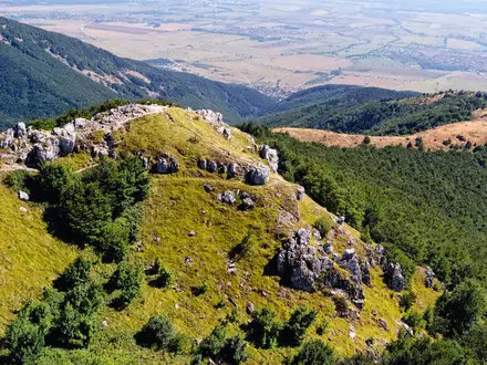
The Belogradchik Rocks Trail is a 6.5 km loop around Belogradchik in Vidin Province, northwest Bulgaria, linking Belogradchik Fortress (Kaleto) with waymarked paths and viewpoints among red sandstone and conglomerate towers. It is a half-day walk, usually 2 to 3.5 hours on foot, and is best classed as moderate: short and well-trodden, but with uneven rock, steep steps and brief scrambly sections near viewpoints. It suits hikers planning a scenic day walk rather than a remote trek. See more Bulgaria hiking routes.
Route Overview
Start and finish in Belogradchik, typically at or near the entrance to Belogradchik Fortress, locally called Kaleto. The route is best treated as a circular walk, not an out-and-back: popular descriptions and mapping show loops threading from the fortress through the rock formations, the Panairishteto meadow, forest paths, narrow rock passages and lookout stairs before returning to town. The nearest big city is Sofia, about 3 to 3.5 hours by car, while buses run from Vidin, around 50 km away. If you want another short Bulgarian landmark walk, compare it with the Buzludzha Monument Trail, Cherven Eco-Trail or the Golden Bridges Trail.
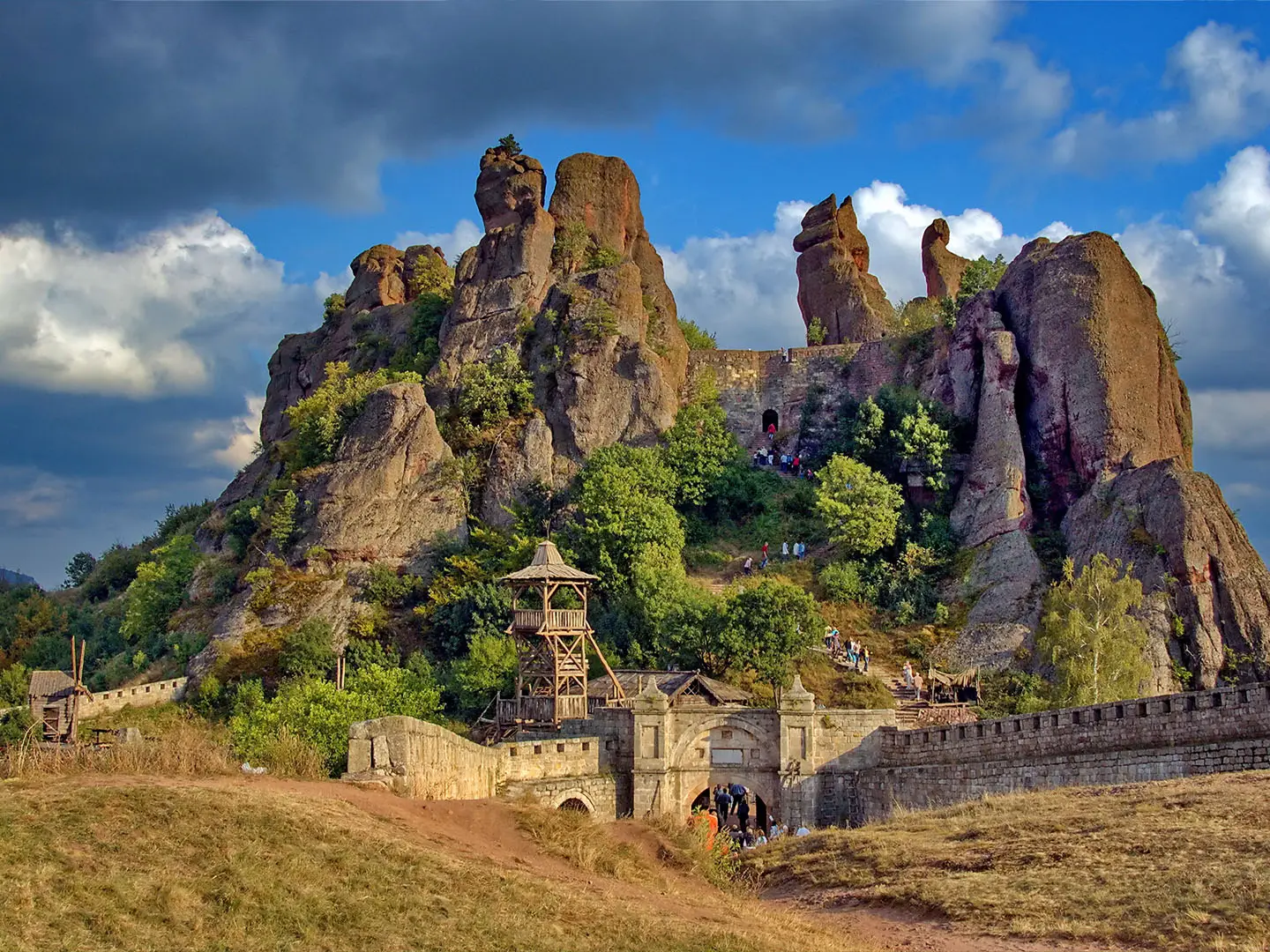
Belogradchik Fortress and the Rocks: History in the Stone
The Belogradchik Rocks began forming in the Permian, around 230 million years ago, with later sea conditions, cemented layers and uplift shaping the sandstone and conglomerate towers. Hematite gives the formations their rusty-red colour. The fortress was first built by the Romans between the 1st and 3rd centuries AD, using the cliffs as natural walls. It was enlarged by the medieval Bulgarian ruler Ivan Stratsimir, expanded by the Ottomans and later saw action in the 1885 Serbo-Bulgarian War.
Notable highlights
- Belogradchik Fortress (Kaleto): An ancient stronghold whose built walls merge with the natural rock cliffs. The upper platforms give the clearest panoramas over the red rock fields.
- The Madonna and the Schoolgirl: Two of the best-known named formations, both linked to local legends about people turned to stone. They are useful landmarks when picking out the central rock group.
- The Horseman and the Monks: Tall, evocatively named pinnacles visible from marked viewpoints along the trail. Their shapes are part of what makes the walk feel more like a natural sculpture route than a standard forest loop.
- Adam and Eve / the Mushrooms: Central formations shaped by long erosion of sandstone and conglomerate. The path winds close enough to appreciate the texture and scale of the rocks.
- Viewpoint stairs and panoramas: Stone steps and engineered metal staircases climb to lookout points above the formations. On clear days views extend towards the Serbian border.
- Red rock colour and scale: The protected Belogradchik Rocks area is known for hematite-stained sandstone and conglomerate towers, with individual formations reaching up to 200 m high.
Challenges to expect
The distance is short, but do not treat it as a paved sightseeing path. Expect uneven dirt and stone, rock steps, metal staircases, narrow passages and a few spots where careful footing or hands-on movement may be needed. Waymarking is generally present, but the paths intersect and wind between formations, so a map or GPS app helps. Avoid heavy rain, when stone steps and rock slabs can become slick.
HikeList Score
Belogradchik Rocks Trail scored 79/100 on HikeList's trail-quality metrics.
See score breakdownHide breakdown
- Ideal length 55
- Balanced challenge 100
- Scenery & wildness 85
- Varied terrain 89
- Accommodation 66
- Food & support 68
- Path quality 98
- Season flexibility 100
Computed from length, challenge, scenery & wildness, terrain variety, accommodation, food & support, path quality and season flexibility.
Show more data Show less
- Forest
- Meadow
- Rocky
- Dirt
- Uneven Stone
- Rock Steps
- Metal Stairs
- Hotels
- Campsites
- Family Friendly
- Pet Friendly
- Restrooms
- Picnic Areas
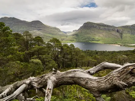
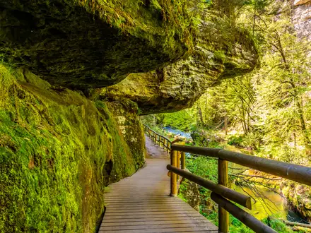
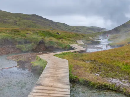
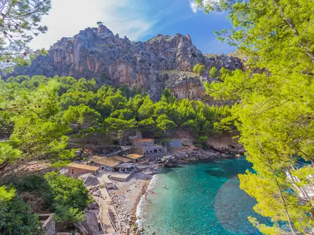
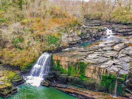
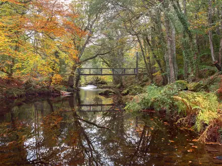
Photos from hikers
Taken on the trail by people who've reviewed Belogradchik Rocks Trail.
Reviews
How would you rate Belogradchik Rocks Trail?
Tap a star to start your review — you could be the first.