Seven Rila Lakes Trail
How would you rate Seven Rila Lakes Trail?
Tap a star to share your experience and help other hikers.
Seven Rila Lakes Trail: Bulgaria’s Classic Alpine Lake Loop
HikeList Score
Seven Rila Lakes Trail scored 77/100 on HikeList's trail-quality metrics.
See score breakdownHide breakdown
- Ideal length 55
- Balanced challenge 100
- Scenery & wildness 98
- Varied terrain 52
- Accommodation 58
- Food & support 72
- Path quality 98
- Season flexibility 76
Computed from length, challenge, scenery & wildness, terrain variety, accommodation, food & support, path quality and season flexibility.
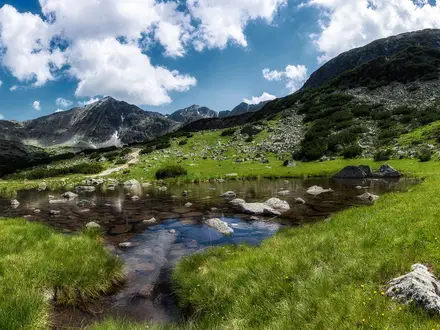
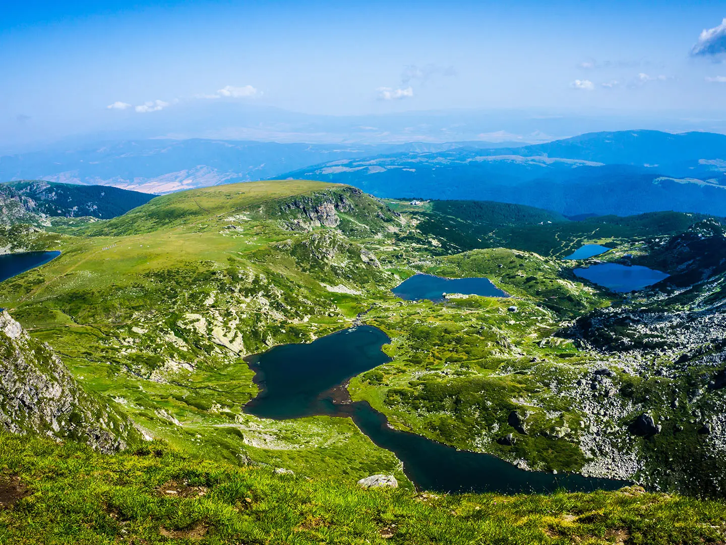
The Seven Rila Lakes Trail is an 8.5 km moderate day hike in Rila National Park, in the north-western Rila Mountains of Bulgaria. Starting at the Rila Lakes chairlift top station above Panichishte, the loop links seven glacial cirque lakes between about 2,095 m and 2,535 m. It suits hikers with reasonable fitness who want a high-alpine route without a full mountain approach, though the path is rocky, exposed and includes sustained uphill sections.
Route Overview
The standard route is a loop from the Rila Lakes chairlift top station at about 2,100 m, returning to the same point. Most hikers walk anti-clockwise: climb first towards the high ground and panoramic ridge near Lake Peak / Ezeren vrah, then descend past Salzata, Okoto, Babreka, Bliznaka, Trilistnika, Ribnoto and Dolnoto before looping back to the lift. The chairlift runs up from the base station near Pionerska / Panichishte and removes most of the ascent, but you still have around 500 m of climbing on rocky and dirt mountain paths. For another Bulgarian lake walk, compare the Bezbog to Popovo Lake Trail; near Sofia, the Cherni Vrah Summit Trail is a higher summit-style alternative.
Glacial lakes and the White Brotherhood
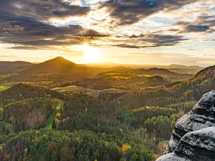
The lakes were carved by ice-age glaciers into stepped cirques in the north-western Rila Mountains and are now the most visited group of lakes in Bulgaria. The area is also tied to the Universal White Brotherhood, founded by the spiritual teacher Peter Deunov, known as Beinsa Douno. Since 1929, followers have gathered here in summer, greeting sunrise above the Kidney Lake and performing the Paneurhythmy dance around 19 August. Rila Monastery, a UNESCO World Heritage Site, lies elsewhere in the same massif.
Notable highlights
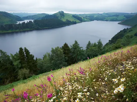
- The seven glacial lakes: A stepped chain of cirque tarns from Dolnoto Ezero / The Lower Lake at 2,095 m to Salzata / The Tear at 2,535 m. Each lake is named for its shape or character: Lower, Fish, Trefoil, Twin, Kidney, Eye and Tear.
- Okoto / The Eye (2,440 m): An oval upper lake and the deepest cirque lake in Bulgaria, at about 37.5 m. Its dark, clear water makes it one of the most memorable stops on the circuit.
- Salzata / The Tear (2,535 m): The highest lake on the route and the high point of the lake circuit itself. It is known for exceptionally clear water and sits above the main chain of lakes.
- Panoramic ridge near Lake Peak / Ezeren vrah: A short, steep optional climb above The Eye leads to the classic viewpoint where all seven lakes can be seen together below.
- Rila Lakes chairlift: The lift from the Panichishte base area to about 2,100 m makes the route practical as a half-day to full-day outing. Check operating times carefully before setting off.
- White Brotherhood gathering: Around 19 August, followers of Peter Deunov gather near the lakes to perform Paneurhythmy, a circular sun-greeting dance on the plateau above the Kidney Lake.
Challenges to expect
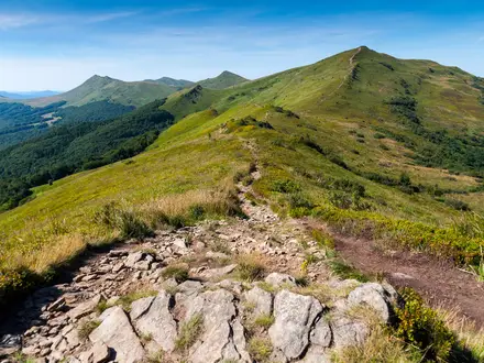
Expect open alpine terrain, rocky and stony paths, short steep pitches and around 500 m of ascent despite the chairlift. Weather in Rila can change quickly: fog, cold wind, strong sun and afternoon storms are all concerns, and snow can linger into June. The route is popular and broadly marked, but carry a map or GPS. Fine summer weekends can be very crowded.
HikeList Score
Seven Rila Lakes Trail scored 77/100 on HikeList's trail-quality metrics.
See score breakdownHide breakdown
- Ideal length 55
- Balanced challenge 100
- Scenery & wildness 98
- Varied terrain 52
- Accommodation 58
- Food & support 72
- Path quality 98
- Season flexibility 76
Computed from length, challenge, scenery & wildness, terrain variety, accommodation, food & support, path quality and season flexibility.
 Bulgaria
Show more data Show less
- Mountainous
- Dirt
- Rocky
- Huts
- Wild Camping Spots
- Family Friendly
- Pet Friendly
- Restrooms
- Water Sources
- Shelters
- Campsites
In these collections
Photos from hikers
Taken on the trail by people who've reviewed Seven Rila Lakes Trail.
Reviews
How would you rate Seven Rila Lakes Trail?
Tap a star to start your review — you could be the first.