The Teign Gorge Walk
How would you rate The Teign Gorge Walk?
Tap a star to share your experience and help other hikers.
The Teign Gorge Walk: Dartmoor's Classic Castle Drogo Circuit
HikeList Score
The Teign Gorge Walk scored 80/100 on HikeList's trail-quality metrics.
See score breakdownHide breakdown
- Ideal length 55
- Balanced challenge 100
- Scenery & wildness 98
- Varied terrain 76
- Accommodation 66
- Food & support 68
- Path quality 98
- Season flexibility 89
Computed from length, challenge, scenery & wildness, terrain variety, accommodation, food & support, path quality and season flexibility.
The Teign Gorge Walk is a 6.5 km moderate circular day walk on the north-eastern edge of Dartmoor National Park in Devon, England. The National Trust's classic Castle Drogo circuit links the high Hunter's Path and Sharp Tor with Fingle Bridge and the riverside Fisherman's Path beside the River Teign. It is a half-day route, usually 2–3 hours, best for hikers who want woodland, gorge views and a short but properly uneven Dartmoor walk rather than a long-distance trail.
Route Overview
Most walkers start and finish at the National Trust Castle Drogo main car park near Drewsteignton (SX725902, about EX6 6PB); Fingle Bridge car park (SX743900, EX6 6PW) is the main alternative. The closed loop links Castle Drogo, Hunter's Path on the northern crest, Hunter's Tor, Sharp Tor, Hunters Gate and Fingle Bridge, then returns by the lower Fisherman's Path or Forester's track beside the River Teign through Fingle Woods. The route is well signposted, but woodland junctions can still warrant a map or GPS. Walking the public paths needs no permit. For other UK walking ideas, see the upland Beacons Way, the waterfall Aber Falls Walk or the gentle Ashby Canal Trail.
Teign Gorge history: packhorse bridge, deer park and Castle Drogo
The gorge has long been a working route and estate landscape. Fingle Bridge carried the old way from Drewsteignton to Moretonhampstead until Dogmarsh Bridge superseded it around 1840. The valley supported corn-milling, charcoal-burning and forestry, with the Fingle Mill leat dug in the 1600s. Whiddon Deer Park was enclosed about 1560, and Castle Drogo was built in 1911–1930/31 by Sir Edwin Lutyens for Julius Drewe. Drogo Weir, built in 1928, once powered a hydroelectric plant for the house.
Notable highlights
- Castle Drogo (1911–1930/31): A granite country house designed by Sir Edwin Lutyens for Julius Drewe, often described as the last castle built in England. It overlooks the gorge and is the main National Trust anchor for the walk.
- Hunter's Path (high northern crest): The upper path gives the circuit its best open views down the wooded Teign Gorge and across towards Dartmoor.
- Sharp Tor (granite viewpoint): A rocky outcrop on Hunter's Path and the scenic high point of the route, with views over the gorge and back towards Castle Drogo.
- Fingle Bridge (packhorse bridge): A narrow old crossing over the River Teign, commonly dated to the 16th–17th century. The Fingle Bridge Inn beside it is the classic refreshment stop on the loop.
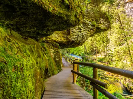
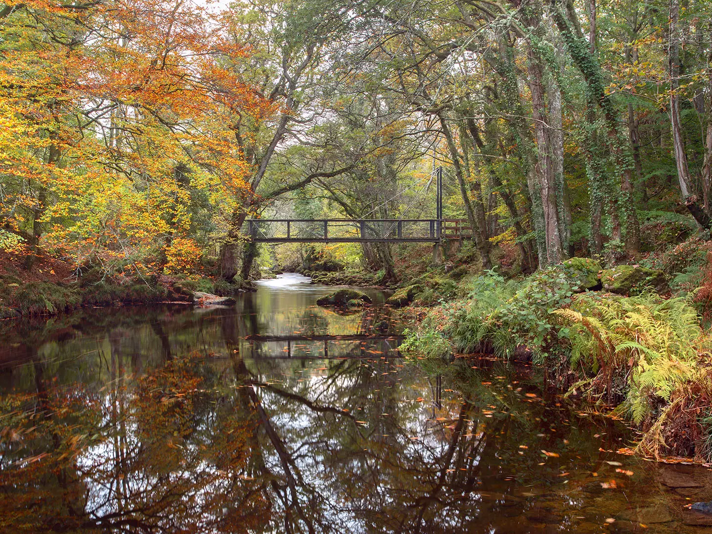
- River Teign and Fingle Woods: The lower Fisherman's Path follows pools, woodland and riverbank through ancient oak woodland, passing Drogo Weir, a disused 1928 hydroelectric weir.
- Whiddon Deer Park (enclosed around 1560): A historic deer park on the southern slopes, adding a strong estate-history thread to the gorge scenery.
Challenges to expect
This is a short walk, but not a flat stroll. Expect one notably steep climb up to Hunter's Path from Fingle Bridge, plus uneven earth and stony paths, exposed roots, rocky steps and metal handrails on the steeper riverside ascent. After rain the gorge paths can be muddy and slippery, and Dartmoor weather is changeable. Waymarking is good, though a map or GPS helps at woodland junctions.
HikeList Score
The Teign Gorge Walk scored 80/100 on HikeList's trail-quality metrics.
See score breakdownHide breakdown
- Ideal length 55
- Balanced challenge 100
- Scenery & wildness 98
- Varied terrain 76
- Accommodation 66
- Food & support 68
- Path quality 98
- Season flexibility 89
Computed from length, challenge, scenery & wildness, terrain variety, accommodation, food & support, path quality and season flexibility.
 United Kingdom
 England
Show more data Show less
- Forest
- River Valley
- Hills
- Dirt
- Rocky
- Hotels
- Campsites
- Family Friendly
- Pet Friendly
- Restrooms
- Picnic Areas
Photos from hikers
Taken on the trail by people who've reviewed The Teign Gorge Walk.
Reviews
How would you rate The Teign Gorge Walk?
Tap a star to start your review — you could be the first.