Cherni Vrah Summit Trail
How would you rate Cherni Vrah Summit Trail?
Tap a star to share your experience and help other hikers.
Cherni Vrah Summit Trail: Sofia’s Accessible High Summit
HikeList Score
Cherni Vrah Summit Trail scored 80/100 on HikeList's trail-quality metrics.
See score breakdownHide breakdown
- Ideal length 55
- Balanced challenge 100
- Scenery & wildness 98
- Varied terrain 64
- Accommodation 66
- Food & support 81
- Path quality 98
- Season flexibility 89
Computed from length, challenge, scenery & wildness, terrain variety, accommodation, food & support, path quality and season flexibility.
The Cherni Vrah Summit Trail is a moderate day hike to Vitosha’s highest point, immediately south of Sofia in Bulgaria. From Aleko, the standard out-and-back is about 7 km with roughly 480 m of ascent, reaching Cherni Vrah at 2,290 m. It suits fit walkers who want a short, non-technical summit with quick city access. Expect a steep opening climb, rocky mountain paths and an exposed plateau near the top. For lower Vitosha hiking, compare the Boyana Waterfall Trail.
Route Overview
Start and finish at Aleko, the resort area on Vitosha’s northern slopes at about 1,803 m. Most hikers reach it from Sofia by the Simeonovo gondola when operating, or by weekend/holiday buses including 66; routes 122/123 also serve the mountain from the city. From Aleko the path climbs the steep section known as The Wall or Stenata, then continues past the Malak Rezen shoulder onto open, weather-exposed ground before the Cherni Vrah summit, meteorological station, refuge shelter and small café. Return the same way. A loop via Goli Vrah is also common, but this guide treats the Aleko route as an out-and-back. For another Vitosha objective, see the Golden Bridges trail.
Cherni Vrah and the Birth of Bulgarian Mountain Tourism
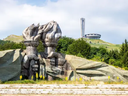
Cherni Vrah has a central place in Bulgarian hiking history. On 27 August 1895, the writer Aleko Konstantinov led the first organised mass ascent of the peak, with about 300 people taking part, including the national poet Ivan Vazov. The event is widely regarded as the start of organised tourism and mountaineering in Bulgaria, and is still marked by annual rallies. Vitosha became a nature park in 1934, the first such park in the Balkans, and the summit meteorological station was built in 1935 and remains in operation.
Notable highlights
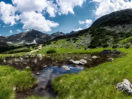
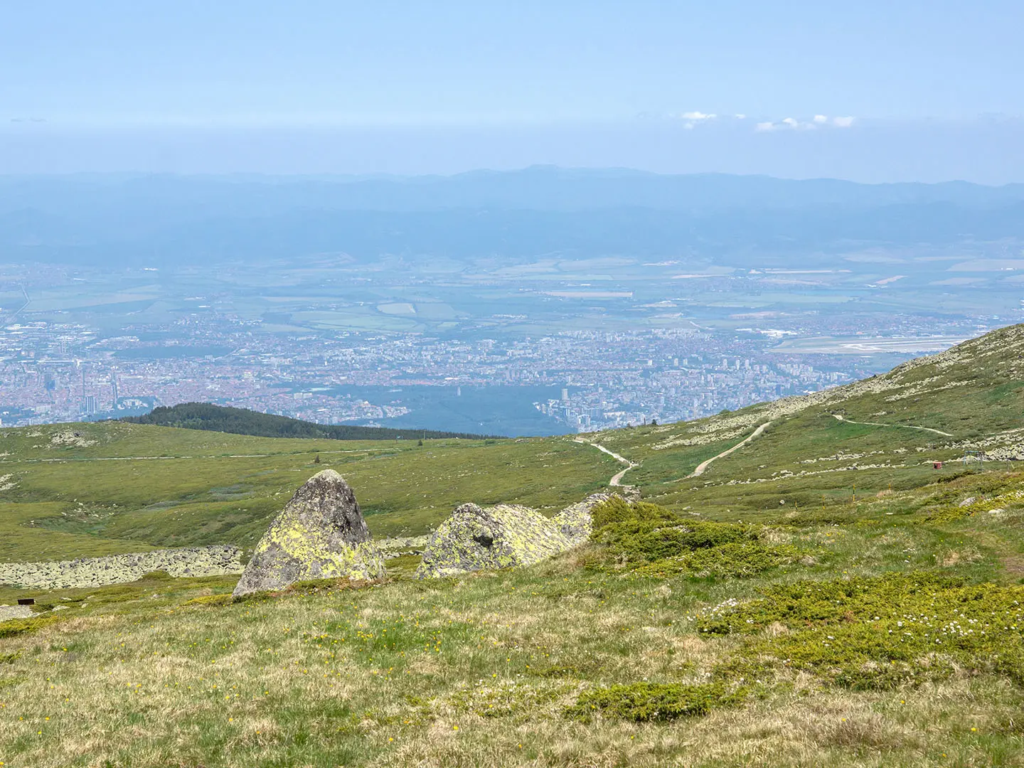
- Cherni Vrah summit (2,290 m): The highest point of Vitosha and the fourth-highest peak in Bulgaria. In clear weather it gives broad views over Sofia, the Stara Planina to the north and the Rila massif to the south.
- Summit meteorological station: Built in 1935 and still operating on the top. It also functions as an emergency refuge and mountain-rescue base, with a small café known locally for bean soup.
- The Wall (Stenata): The steep initial climb above Aleko. It is the hardest sustained section of the standard route and gains height quickly early in the hike.
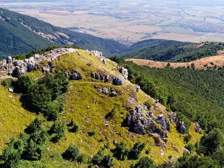
- Stone rivers (moreni): Ribbons of large syenite boulders that flank parts of the route. They are one of Vitosha’s signature mountain landscape features.
- Aleko trailhead and gondola: Aleko is the classic launch point for the climb and is reached by the Simeonovo cabin lift when it is running. The area is also one of Vitosha’s main chalet and resort zones.
- Vitosha Nature Park: Established in 1934 as the first nature park in the Balkans. The route passes through protected forest, meadow and open subalpine ground.
Challenges to expect
The hike is short but not effortless. The Wall above Aleko is a sustained steep climb, and the surface is a mix of dirt, rock and mountain footpath. Higher up, the plateau is exposed, windy and cold even outside winter; snow can linger near the summit into spring. In poor weather the route feels harder, and the Goli Vrah variant uses metal rod markings that are especially relevant in winter conditions.
HikeList Score
Cherni Vrah Summit Trail scored 80/100 on HikeList's trail-quality metrics.
See score breakdownHide breakdown
- Ideal length 55
- Balanced challenge 100
- Scenery & wildness 98
- Varied terrain 64
- Accommodation 66
- Food & support 81
- Path quality 98
- Season flexibility 89
Computed from length, challenge, scenery & wildness, terrain variety, accommodation, food & support, path quality and season flexibility.
 Bulgaria
Show more data Show less
- Mountainous
- Forest
- Dirt
- Rocky
- Hotels
- Huts
- Family Friendly
- Pet Friendly
- Restrooms
- Water Sources
- Shelters
Photos from hikers
Taken on the trail by people who've reviewed Cherni Vrah Summit Trail.
Reviews
How would you rate Cherni Vrah Summit Trail?
Tap a star to start your review — you could be the first.