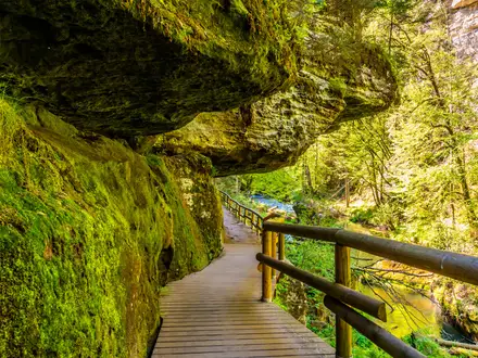
Reykjadalur Hot Springs Trail
How would you rate Reykjadalur Hot Springs Trail?
Tap a star to share your experience and help other hikers.
Reykjadalur Hot Springs Trail: Iceland’s Steam Valley Day Hike
HikeList Score
Reykjadalur Hot Springs Trail scored 67/100 on HikeList's trail-quality metrics.
See score breakdownHide breakdown
- Ideal length 55
- Balanced challenge 100
- Scenery & wildness 58
- Varied terrain 89
- Accommodation 49
- Food & support 45
- Path quality 98
- Season flexibility 63
Computed from length, challenge, scenery & wildness, terrain variety, accommodation, food & support, path quality and season flexibility.
The Reykjadalur Hot Springs Trail is a 6.5 km out-and-back day hike above Hveragerdi in south-west Iceland, about 45 km south-east of Reykjavik. It is a moderate half-day route: expect a steady uphill walk to Klambragil, where a naturally warm river is suitable for bathing, then return the same way. It suits hikers who want active geothermal scenery, a clear path and a short but worthwhile climb, without technical terrain or a river crossing.
Route Overview
Start at the Reykjadalur car park, about 2 km north of Hveragerdi town centre. The route follows an old sheep path uphill into Reykjadalur valley, passing steaming geothermal ground and Djupagilsfoss waterfall before reaching Klambragil canyon and the warm bathing river. The outward leg is almost entirely uphill, with the steepest climbing in the first 30 minutes; the return is back down the same path. Allow 3–4 hours including 30–60 minutes in the river. There are toilets and a cafe at the trailhead, but no services in the valley itself. For other Iceland day hikes, compare the Glymur Waterfall Trail or the Eldborg Crater Loop.
Geothermal and Volcanic Context
Reykjadalur lies on the western edge of the Hengill volcanic system, where rifting between the North American and Eurasian plates helps drive the valley’s hot springs, steam vents and warm river. Nearby Hveragerdi has used geothermal heat for greenhouse horticulture since the 1920s and for heating since 1929. A magnitude 6.3 South Iceland earthquake in May 2008, with its epicentre about 2 km from Hveragerdi, damaged the town and altered geothermal flows, creating new hot springs and mud pools.
Notable highlights
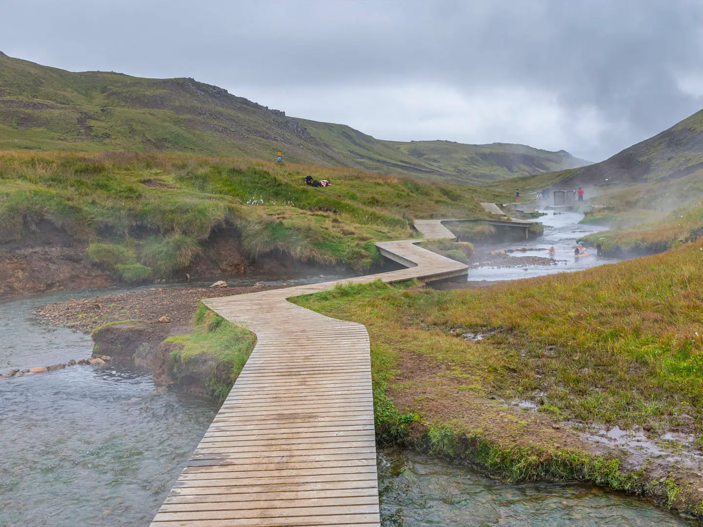
- Klambragil thermal river: The hike’s destination is a naturally heated bathing river, where hot geothermal water mixes with cooler mountain streams to around 36–40 C. Wooden platforms and changing screens line the bathing area.
- Geothermal field: Steam vents, fumaroles and bubbling mud pots sit close to the path. The ground is active and some pools are scalding, so staying on the marked route matters.
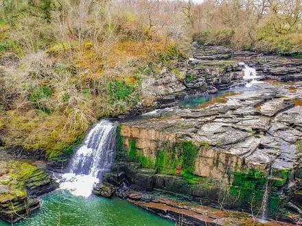
- Djupagilsfoss waterfall: This waterfall is passed on the climb and acts as a clear scenic landmark roughly two-thirds of the way to the bathing area.
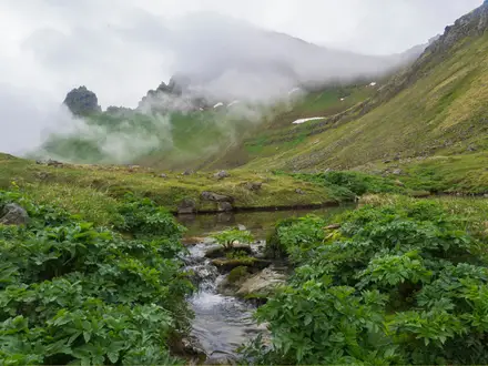
- Reykjadalur valley: The name means “Steam Valley” or “Smoky Valley”. Green hillsides, wildflowers and rising steam make the short walk feel distinctly Icelandic.
Challenges to expect
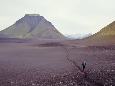
The main effort is the uphill approach, especially the first 30 minutes, which gains roughly 200 m on gravel, rocky and often muddy ground. The total ascent is about 340 m. Weather can change quickly, and winter conditions are muddy, icy and slippery, with microspikes or crampons needed and only around 4–5 hours of December daylight. Hot springs and mud pots away from the bathing river are dangerous and must not be entered.
HikeList Score
Reykjadalur Hot Springs Trail scored 67/100 on HikeList's trail-quality metrics.
See score breakdownHide breakdown
- Ideal length 55
- Balanced challenge 100
- Scenery & wildness 58
- Varied terrain 89
- Accommodation 49
- Food & support 45
- Path quality 98
- Season flexibility 63
Computed from length, challenge, scenery & wildness, terrain variety, accommodation, food & support, path quality and season flexibility.
 Iceland
Show more data Show less
- Volcanic Valley
- Green Hillsides
- Geothermal Ground
- Gravel
- Earth
- Rocky
- Muddy
- Boardwalk
- Wild camping spots
- Family Friendly
- Pet Friendly
- Restrooms
In these collections
Photos from hikers
Taken on the trail by people who've reviewed Reykjadalur Hot Springs Trail.
Reviews
How would you rate Reykjadalur Hot Springs Trail?
Tap a star to start your review — you could be the first.