Central Balkan Ridge Trail
How would you rate Central Balkan Ridge Trail?
Tap a star to share your experience and help other hikers.
Central Balkan Ridge Trail: High Balkan Ridge Traverse
HikeList Score
Central Balkan Ridge Trail scored 80/100 on HikeList's trail-quality metrics.
See score breakdownHide breakdown
- Ideal length 85
- Balanced challenge 80
- Scenery & wildness 98
- Varied terrain 64
- Accommodation 67
- Food & support 65
- Path quality 98
- Season flexibility 76
Computed from length, challenge, scenery & wildness, terrain variety, accommodation, food & support, path quality and season flexibility.
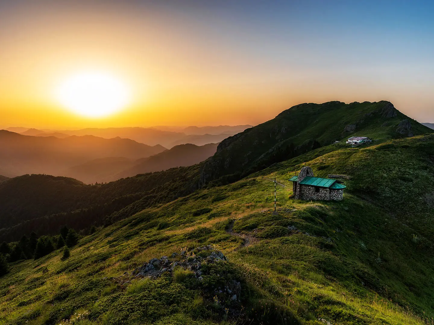
The Central Balkan Ridge Trail is a hard, hut-to-hut traverse of the main Stara Planina crest in Bulgaria, crossing Central Balkan National Park on the E3 / Kom-Emine route. The standard Beklemeto to Apriltsi version is about 62 km over 5 days, with Botev Peak (2,376 m) as the high point. Expect long mountain days, rocky exposed sections, forest approaches and fast-changing weather. It suits fit hikers with navigation confidence and experience on high ridges.
Route Overview
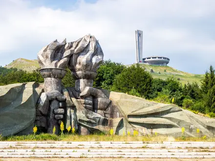
This is a point-to-point west-to-east crossing, usually starting at Beklemeto / Troyan Pass near the Arch of Freedom and following white-red-white E3 / Kom-Emine waymarks along the Stara Planina crest. The route links huts such as Dobrila, Vasil Levski, Rai and Tazha, with the Dobrila-Botev traverse over Mount Ambaritsa and Mount Kupena forming the hardest section. Most 5-day itineraries finish at Apriltsi on the north side; longer variants continue towards Shipka Pass and the Buzludzha-Shipka area. For shorter linked options, see Beklemeto to Kozya Stena, or pair the eastern end with the Buzludzha Monument Trail.
History of the Stara Planina Ridge
The Stara Planina crest has long been a strategic barrier and refuge in Bulgarian history, including during resistance to Ottoman rule. The Arch of Freedom at Troyan Pass and the nearby Shipka battlefield commemorate the 1877-78 War of Liberation. The ridge route is also the central, highest part of the Kom-Emine “Great Balkan Trail”, first traversed in full by Pavel Deliradev in 1933 and now waymarked as Bulgaria’s section of the E3 European long-distance path.
Notable highlights
- Botev Peak (2,376 m): The highest summit in the Balkan Mountains and the crux of the traverse. The summit has a meteorological/relay station and a refuge with beds.
- Rai / Raj hut (~1,435 m): A large 120-bed refuge beneath the Botev cliffs. It is the standard base for Raysko Praskalo waterfall and the climb to Botev Peak.
- Raysko Praskalo waterfall (124.5 m): Fed by snowmelt below Botev in Dzhendema Reserve, it is the highest permanent waterfall in Bulgaria and probably the Balkans.
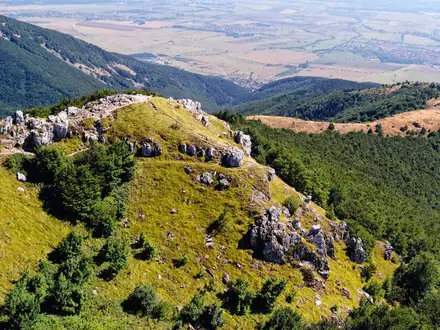
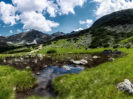
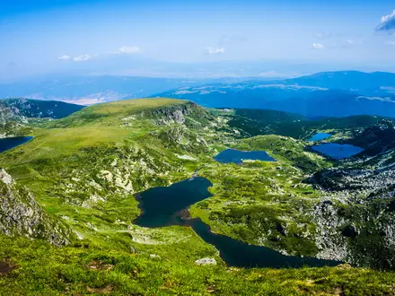
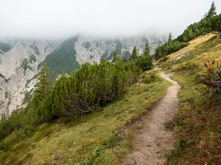
- Dobrila-Botev ridge traverse: The exposed crest over Mount Ambaritsa and Mount Kupena is the most alpine and demanding part of the walk, with rocky ground and big views in clear weather.
- Central Balkan National Park: The park protects nine strict reserves, including ancient beech forests recognised by UNESCO. Keep to marked paths inside the reserves.
- Beklemeto / Troyan Pass: The usual western trailhead is the highest road pass in the Balkans and is marked by the concrete Arch of Freedom monument.
Challenges to expect
Expect a serious high-ridge walk: long 6-7 hour days, major ascent and descent, rocky footing and exposed sections around the Dobrila-Botev traverse. Fog, thunderstorms, wind and temperature drops can arrive quickly above 2,000 m. Waymarking is generally decent, but map/GPS backup is sensible. Resupply is sparse once on the crest, mobile coverage can be patchy, and huts should be booked in peak season. For a shorter Bulgarian summit objective, compare Cherni Vrah Summit Trail.
HikeList Score
Central Balkan Ridge Trail scored 80/100 on HikeList's trail-quality metrics.
See score breakdownHide breakdown
- Ideal length 85
- Balanced challenge 80
- Scenery & wildness 98
- Varied terrain 64
- Accommodation 67
- Food & support 65
- Path quality 98
- Season flexibility 76
Computed from length, challenge, scenery & wildness, terrain variety, accommodation, food & support, path quality and season flexibility.
 Bulgaria
Show more data Show less
- Mountainous
- Forest
- Dirt
- Rocky
- Huts
- Shelters
- Wild Camping Spots
- Pet Friendly
- Water Sources
- Campsites
- Shelters
Photos from hikers
Taken on the trail by people who've reviewed Central Balkan Ridge Trail.
Reviews
How would you rate Central Balkan Ridge Trail?
Tap a star to start your review — you could be the first.