Agrafa Mountains Circuit
How would you rate Agrafa Mountains Circuit?
Tap a star to share your experience and help other hikers.
Agrafa Mountains Circuit: Remote Pindus Trekking
HikeList Score
Agrafa Mountains Circuit scored 81/100 on HikeList's trail-quality metrics.
See score breakdownHide breakdown
- Ideal length 70
- Balanced challenge 80
- Scenery & wildness 98
- Varied terrain 71
- Accommodation 75
- Food & support 81
- Path quality 98
- Season flexibility 76
Computed from length, challenge, scenery & wildness, terrain variety, accommodation, food & support, path quality and season flexibility.
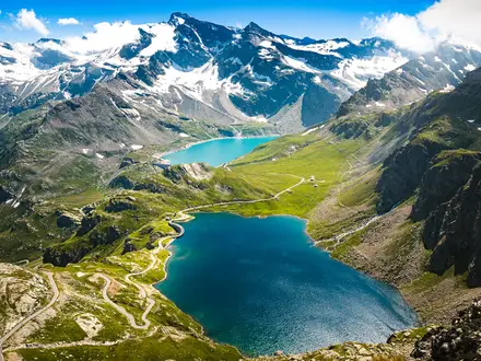
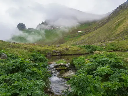
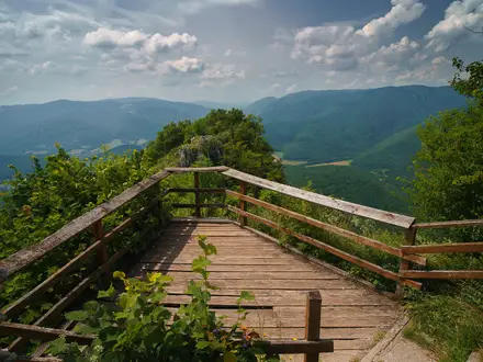
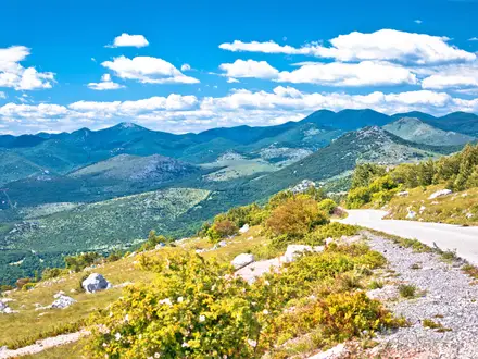
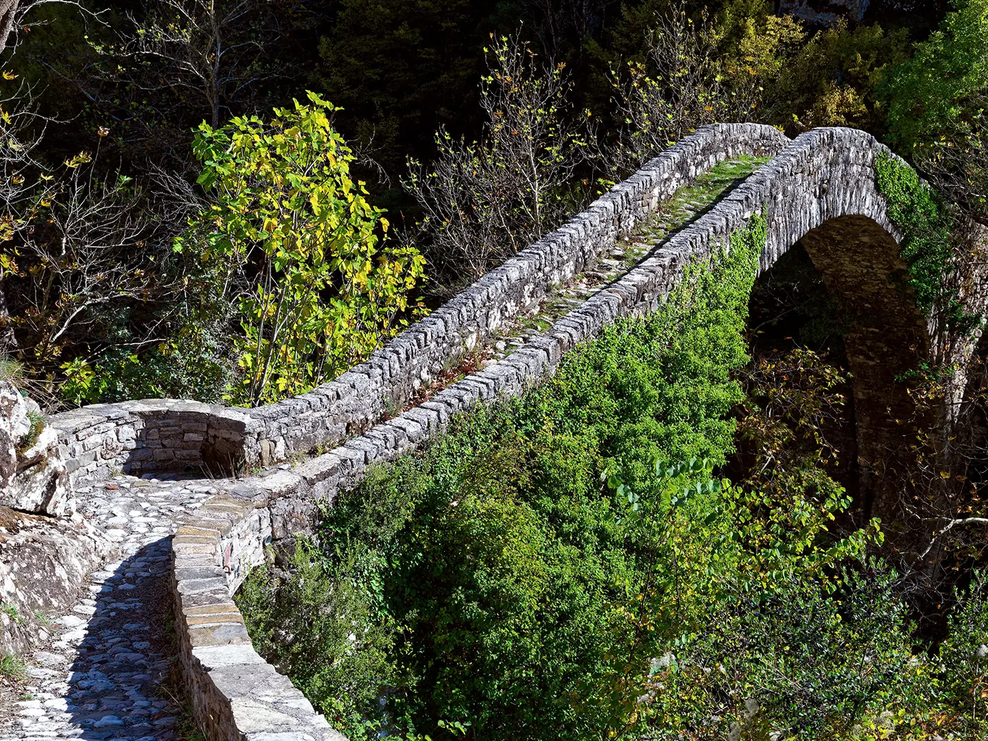
The Agrafa Mountains Circuit is a hard, roughly 55 km, 3-day mountain trek in central Greece, through the remote southern Pindus range between Evrytania and Karditsa. It is not one official, fully waymarked trail: “Agrafa Mountains Circuit” is best understood as a representative high-Agrafa loop using linked village paths, peak routes and refuge trails. Expect steep climbs, faint markings, rocky summits, forest tracks and big empty country. It suits experienced, self-sufficient hikers comfortable with map or GPX navigation.
Route Overview
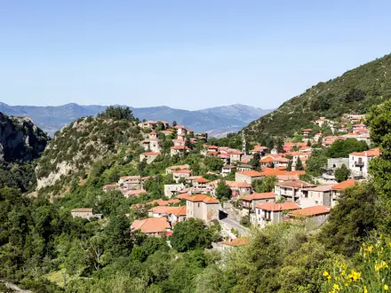
There is no fixed canonical start or end point. Circuits are commonly based from high Agrafa villages such as Elatos, Anthiro, Epiniana, Tridendro or Neraida on the Plastiras Lake side, returning to or near the start as a loop. A typical 3-day high route links forest paths, open alpine grassland and summit terrain around peaks such as Borlero, Pentadachtylo (“Five Towers”), Svoni or Voutsikaki, with possible nights in EOS Karditsa refuges or village guesthouses. Some Agrafa routes are point-to-point, including the Pilgrims’ Way and Via Agrafa, so check your chosen GPX carefully. For more formal Greek long-distance routes, compare the E4 Greek section and E6 Greek section.
Why Agrafa Means “Unwritten”
Agrafa means “the unwritten” or “unrecorded” ones. Under Ottoman rule, the people of these difficult mountains largely escaped tax and census registers, leaving the villages literally off the records. The region is also linked to the ancient Agraioi tribe between the Acheloos and Agrafiotis rivers. For centuries it was a refuge for klephts and armatoloi, and today its trail network is maintained largely by volunteer mountaineering clubs and the developing Pindus Trail.
Notable highlights
Karava (2,184 m): The highest summit of the Agrafa range. A specific 3-day circuit may not climb it, but it defines the scale of the high Agrafa skyline.
Borlero peak (~2,017 m): A classic high objective from Elatos, with grassy alpine ridges and rockier ground near the crown. It is often treated as one of the signature Agrafa summit days.
Pentadachtylo (“Five Towers”): A five-pinnacled rock formation and one of the range’s clearest visual landmarks. It features on multi-day peak circuits with Svoni.
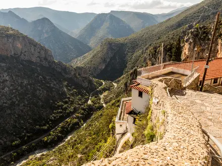
Agrafiotis river valley: A clear mountain river valley with pools, gorges and the abandoned hamlet of Asprorema on river-trekking variants. Gorge routes add wet rock, riverbed walking and crossings.
EOS Karditsa mountain refuges: The Agrafa Refuge near Neraida and the small Elatakos shelter help anchor high routes. They are simple huts run by the Hellenic Mountaineering Club of Karditsa and should be arranged in advance.
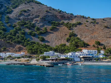
Plastiras (Tavropos) Lake: A mountain reservoir on the eastern flank of Agrafa, commonly used as a gateway and resupply base before entering the higher, emptier terrain.
Challenges to expect
Agrafa is remote and demanding. Waymarking is variable, with some EOS Karditsa red/yellow markings but many faint, overgrown or unsigned paths. Expect long climbs, rocky summit sections, open alpine grassland, sparse facilities and limited mobile coverage. Gorge variants can involve river crossings and wet rock. Spring snowmelt and lingering snow make early-season travel harder; winter is for experienced mountaineers only.
HikeList Score
Agrafa Mountains Circuit scored 81/100 on HikeList's trail-quality metrics.
See score breakdownHide breakdown
- Ideal length 70
- Balanced challenge 80
- Scenery & wildness 98
- Varied terrain 71
- Accommodation 75
- Food & support 81
- Path quality 98
- Season flexibility 76
Computed from length, challenge, scenery & wildness, terrain variety, accommodation, food & support, path quality and season flexibility.
 Greece
Show more data Show less
- Mountainous
- Forest
- Dirt
- Rocky
- Grass
- Huts
- Guesthouses
- Wild Camping Spots
- Pet Friendly
- Water Sources
- Campsites
- Shelters
Photos from hikers
Taken on the trail by people who've reviewed Agrafa Mountains Circuit.
Reviews
How would you rate Agrafa Mountains Circuit?
Tap a star to start your review — you could be the first.