Zemplén Mountains Ridge Trail
How would you rate Zemplén Mountains Ridge Trail?
Tap a star to share your experience and help other hikers.
Zemplén Mountains Ridge Trail: Rákóczi Túra Hiking Guide
HikeList Score
Zemplén Mountains Ridge Trail scored 83/100 on HikeList's trail-quality metrics.
See score breakdownHide breakdown
- Ideal length 66
- Balanced challenge 84
- Scenery & wildness 98
- Varied terrain 83
- Accommodation 75
- Food & support 81
- Path quality 98
- Season flexibility 89
Computed from length, challenge, scenery & wildness, terrain variety, accommodation, food & support, path quality and season flexibility.
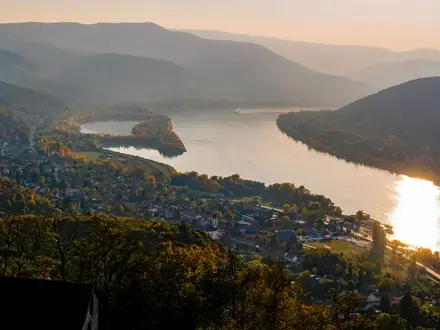
The Zemplén Mountains Ridge Trail is best understood as a hard, point-to-point traverse of the forested Zemplén Mountains in north-east Hungary, rather than one official trail name. This guide uses the established red-waymarked Rákóczi túra: about 58.6 km from Füzér Castle to Sárospatak, usually walked in 2–3 days. Expect steep wooded climbs, rocky and dirt paths, village stops, castles, and the high border ridge around Nagy-Milic.
Route Overview
The Rákóczi túra runs north to south from Füzér / Füzér Castle to Sárospatak, passing Hollóháza, Telkibánya, Regéc, Komlóska and the castle at Sárospatak. Near the northern end, the route gives access to Nagy-Milic, the highest point of the Hungarian Zemplén, with a short detour possible to the Károlyi lookout tower on Kis-Milic. The main alternative is the blue-waymarked National Blue Trail / Országos Kéktúra Zemplén section, a longer traverse of about 100 km from Boldogkőváralja to Hollóháza. For comparable Hungarian mountain walking, see the Bükk National Park Trail, Aggtelek National Park Trail and Börzsöny Mountains Trail.
Castles, Rákóczi history and Tokaj’s volcanic slopes
The Zemplén is a borderland of the North Hungarian Mountains, part of the Carpathians. Its volcanic peaks carry medieval stone castles, including Füzér and Regéc. Füzér guarded the Holy Crown of Hungary in 1526, while Regéc is closely linked with the Rákóczi family and the childhood of Ferenc II Rákóczi. The Rákóczi túra links places associated with this history, and the southern slopes lead towards the historic Tokaj wine region.
Notable highlights
- Nagy-Milic (894 m): The highest point of the Hungarian Zemplén, on the Hungary–Slovakia border. The wooded summit has a concrete obelisk but little view; the better panorama is from nearby Kis-Milic.
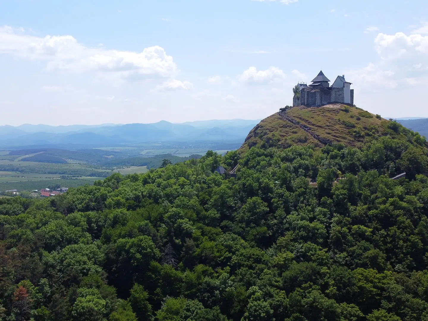
- Füzér Castle: An early-13th-century hilltop fortress on a volcanic cone above Füzér. It is one of Hungary’s earliest stone castles and sheltered the Holy Crown of Hungary in 1526–1528.
- Regéc Castle: A ruined fortress on a volcanic crag, documented from 1285. It is a key Rákóczi site and gives wide views over the range.
- Hollóháza: Hungary’s highest-lying village and home to the long-established Hollóháza porcelain manufactory. It is a natural waypoint near the northern end of the traverse.
- Telkibánya: A historic mining village known for medieval gold and silver production. Today it works well as a quiet route base or overnight stop.
- Tokaj wine region: The volcanic southern slopes of the Zemplén border the UNESCO-listed Tokaj wine region, famous for sweet wines.
Challenges to expect
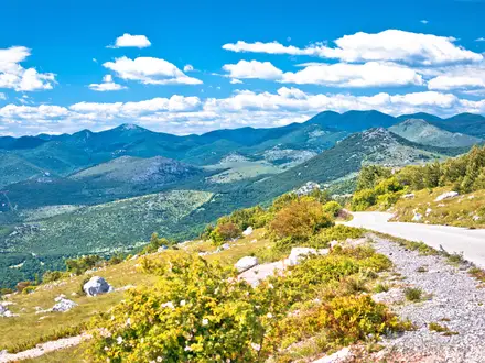
This is a hard forest ridge walk: repeated steep climbs, including sharp pitches near Nagy-Milic, plus dirt, rock and forest tracks that can stay damp. Spring and autumn bring showers, mud and possible morning fog. Waymarking is generally good — red for the Rákóczi túra, blue for the Kéktúra — but forest junctions and missed turns make a map or GPS sensible. Springs exist, but carry water between villages.
HikeList Score
Zemplén Mountains Ridge Trail scored 83/100 on HikeList's trail-quality metrics.
See score breakdownHide breakdown
- Ideal length 66
- Balanced challenge 84
- Scenery & wildness 98
- Varied terrain 83
- Accommodation 75
- Food & support 81
- Path quality 98
- Season flexibility 89
Computed from length, challenge, scenery & wildness, terrain variety, accommodation, food & support, path quality and season flexibility.
 Hungary
Show more data Show less
- Mountainous
- Forest
- Ridge
- Dirt
- Rocky
- Forest Tracks
- Guesthouses
- Shelters
- Campsites
- Pet Friendly
- Water Sources
- Campsites
- Shelters
Photos from hikers
Taken on the trail by people who've reviewed Zemplén Mountains Ridge Trail.
Reviews
How would you rate Zemplén Mountains Ridge Trail?
Tap a star to start your review — you could be the first.