Northern Velebit Ridge Trail
How would you rate Northern Velebit Ridge Trail?
Tap a star to share your experience and help other hikers.
Northern Velebit Ridge Trail: Premužić Trail Guide
HikeList Score
Northern Velebit Ridge Trail scored 78/100 on HikeList's trail-quality metrics.
See score breakdownHide breakdown
- Ideal length 70
- Balanced challenge 84
- Scenery & wildness 78
- Varied terrain 94
- Accommodation 67
- Food & support 65
- Path quality 98
- Season flexibility 89
Computed from length, challenge, scenery & wildness, terrain variety, accommodation, food & support, path quality and season flexibility.
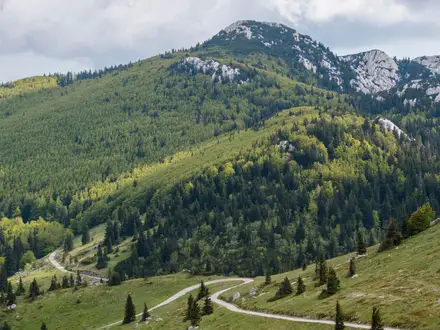
The Northern Velebit Ridge Trail is the Premužić Trail, a 57 km point-to-point hike along Croatia’s Velebit ridge from Zavižan to Baške Oštarije. Plan on 3 hard days: the gradients are gentle for a mountain route, but the length, isolation, exposure and water logistics make it a serious self-sufficient trek. It suits experienced hikers who want remote karst terrain, hut-to-shelter stages and high Adriatic views. For wider trip planning, see our Croatia hiking guide and the longer Adriatic Long-Distance Trail.
Route Overview
This is a north-to-south point-to-point ridge traverse starting at Zavižan mountain hut in Northern Velebit National Park and finishing at Baške Oštarije in central Velebit. The usual 3-day plan is Zavižan–Alan, Alan–Skorpovac and Skorpovac–Baške Oštarije, with key places including the Velebit Botanical Garden, Rossijeva koliba, Lubenovac meadows and the edge of the Hajdučki and Rožanski kukovi strict reserve. The full route is not a loop, so arrange access to Zavižan and onward travel from Baške Oštarije. If you want lower-level Croatian alternatives, compare the Cres Island Coastal Path or the Hvar Island Ridge Trail.
Who Built the Premužić Trail?
The trail was designed and built by forestry engineer and mountaineer Ante Premužić of the Directorate of Forests in Sušak. Construction ran from 1930 to 1933, using traditional drystone technique: rocks set without mortar to create a stable, gently graded path through difficult karst terrain. The result is widely regarded as a landmark of mountain trail building. In 2009, the route was protected along its full length as a cultural asset of national importance.
Notable highlights
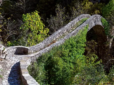
- Premužić Trail engineering: The hand-laid drystone path is the main feature of the hike. Built without mortar, it keeps gradients deliberately gentle while crossing rocky terrain that would otherwise be much harder going.
- Rožanski and Hajdučki kukovi: These jagged limestone pinnacles, towers and sinkholes form a strict nature reserve. The marked trail skirts the edge, giving close views without entering the protected off-trail zone.
- Velebit Botanical Garden: Near Zavižan hut at around 1,480 m, this high-altitude garden showcases Velebit flora, including Croatian sibirea.
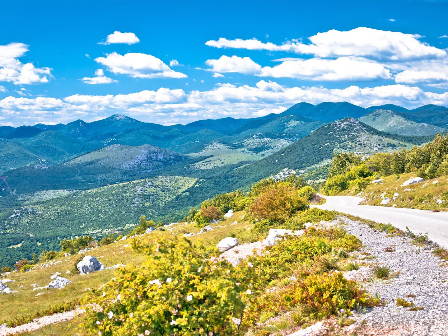
- Adriatic panoramas: The western side of the ridge opens towards the Adriatic Sea and the Kvarner islands, including Krk, Rab and Pag.
- Veliki Zavižan and Vučjak: Short detours from Zavižan hut reach Vučjak and Veliki Zavižan, the highest peak in Northern Velebit National Park.
- Lubenovac meadows: This broad mountain grassland has remains of old summer shepherd settlements, adding a clear human-history element to the ridge walk.
Challenges to expect
The trail is hard because it is long, remote and exposed, not because it is technically steep. Expect karst terrain with little surface water; carry around 3 litres per day in summer and confirm hut or shelter water before setting off. Snow can linger into late spring, and huts or shelters operate mainly in summer. Stay on marked paths near the strict reserve, where off-trail entry is not allowed.
HikeList Score
Northern Velebit Ridge Trail scored 78/100 on HikeList's trail-quality metrics.
See score breakdownHide breakdown
- Ideal length 70
- Balanced challenge 84
- Scenery & wildness 78
- Varied terrain 94
- Accommodation 67
- Food & support 65
- Path quality 98
- Season flexibility 89
Computed from length, challenge, scenery & wildness, terrain variety, accommodation, food & support, path quality and season flexibility.
 Croatia
Show more data Show less
- Mountainous
- Karst
- Forest
- Alpine Meadows
- Drystone
- Dirt
- Rocky
- Huts
- Shelters
- Campsites
- Pet Friendly
- Water Sources
- Campsites
- Shelters
In these collections
Photos from hikers
Taken on the trail by people who've reviewed Northern Velebit Ridge Trail.
Start at Zavižan mountain hut in Northern Velebit National Park. This stage passes the early national-park section of the Premužić Trail, with access to the Velebit Botanical Garden and views towards the rocky kukovi formations, before reaching Alan mountain hut.
Continue south along the undulating drystone ridge path. This is the longest listed stage, crossing remote karst, forest and meadow terrain where water planning matters. Finish at the Skorpovac shelter area.
The final stage continues through central Velebit towards Baške Oštarije, the end of the full named trail. Baške Oštarije has an official campsite and is the logical place to arrange onward travel.
Reviews
How would you rate Northern Velebit Ridge Trail?
Tap a star to start your review — you could be the first.