Pohorje Transversal Trail
How would you rate Pohorje Transversal Trail?
Tap a star to share your experience and help other hikers.
Pohorje Transversal Trail: Maribor to Slovenj Gradec
HikeList Score
Pohorje Transversal Trail scored 83/100 on HikeList's trail-quality metrics.
See score breakdownHide breakdown
- Ideal length 66
- Balanced challenge 84
- Scenery & wildness 98
- Varied terrain 89
- Accommodation 75
- Food & support 88
- Path quality 84
- Season flexibility 63
Computed from length, challenge, scenery & wildness, terrain variety, accommodation, food & support, path quality and season flexibility.
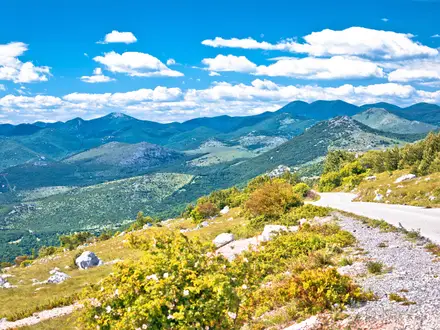
The Pohorje Transversal Trail is a ~60.5 km point-to-point crossing of the forested Pohorje massif in north-east Slovenia, from Maribor to Slovenj Gradec. It is the opening section of the 599 km Slovenska planinska pot, also known as the Slovenian Mountain Trail, and is marked as trail No. 1 with the Knafelc red-and-white waymark. Most walkers take 2–3 days. Expect a demanding but non-technical hut-to-hut traverse: long forest stages, about 2,190 m or more of ascent, and a high point on Črni vrh at 1,543 m.
Route Overview
The route runs west from Maribor, starting around Streliška ulica / the lower Pohorje cable-car station in Radvanje, and finishes in Slovenj Gradec. It is a linear traverse, so plan transport at both ends rather than expecting a loop. The full 11 named legs are: Maribor – Mariborska koča – Ruska koča – Šumik waterfalls – Klopni vrh – Koča na Pesku – Lovrenska jezera – Ribniška koča – Črni vrh – Grmovškov dom pod Veliko Kopo – Koča pod Kremžarjevim vrhom – Slovenj Gradec. The trail is Knafelc-waymarked throughout and links a chain of mountain huts across the plateau. If you want a shorter wetland-focused walk, see the Lovrenc Lakes Trail; for a lower-level river option nearby, compare the Drava River Trail.
History of the Pohorje Transversal
The Pohorje crossing is historically important because it forms the first section of the Slovenian Mountain Trail, opened in 1953 as Europe’s first marked long-distance connecting trail. From Maribor it continues beyond Pohorje through the Karavanke and Julian Alps to the Adriatic at Ankaran. The route uses the Knafelc waymark devised by Alojz Knafelc. Pohorje is also geologically distinct from Slovenia’s limestone Alps: its metamorphic silicate rocks help explain the peat bogs, dark lakes and silicate waterfalls encountered on the traverse.
Notable highlights
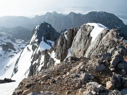
- Črni vrh / Black Peak (1,543 m): The highest point of the Pohorje massif and the summit of the traverse. Despite the altitude, it is reached by rounded forest paths rather than scrambling terrain.
- Lovrenska jezera / Lovrenc Lakes: A protected raised peat bog crossed on wooden boardwalks, with dark rain-fed pools and a viewing tower. It is one of the most distinctive landscapes on the route and a natural pause point between huts.
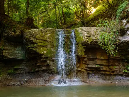
- Veliki and Mali Šumik waterfalls: Veliki Šumik drops about 24 m on the Lobnica stream, with the smaller Mali Šumik downstream. Together they form the main waterfall landmark on the crossing.
- Pohorje primeval forest reserve: Beside the Šumik waterfalls is a strict forest reserve preserving a rare remnant of Pohorje’s original beech-fir-spruce forest. Expect mossy boulders, fallen trunks and a wilder feel than the managed forest tracks elsewhere.
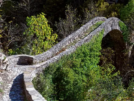
- Mountain-hut traverse: The line links classic Slovenian koče including Mariborska koča, Ruska koča, Koča na Pesku, Ribniška koča and Grmovškov dom pod Veliko Kopo. Walkers can collect official trail stamps, or žigi, in a logbook along the way.
Challenges to expect
The Pohorje Transversal is not technical, but it is physically demanding: long forest legs, sustained cumulative ascent, boggy pockets and some short road sections. Navigation is helped by Knafelc waymarks, yet the wooded plateau can feel repetitive, so carry a map or GPS. Late June to mid-September is the most reliable hut season; shoulder months may bring closed huts, and snow can linger on the high plateau into spring. For a bigger Slovenian mountain objective, compare Bohinj to Triglav Trail or the longer European Long-Distance Path E6.
HikeList Score
Pohorje Transversal Trail scored 83/100 on HikeList's trail-quality metrics.
See score breakdownHide breakdown
- Ideal length 66
- Balanced challenge 84
- Scenery & wildness 98
- Varied terrain 89
- Accommodation 75
- Food & support 88
- Path quality 84
- Season flexibility 63
Computed from length, challenge, scenery & wildness, terrain variety, accommodation, food & support, path quality and season flexibility.
Show more data Show less
- Mountainous
- Forest
- Plateau
- Dirt
- Gravel
- Paved
- Boardwalk
- Huts
- Guesthouses
- Farm Stays
- Family Friendly
- Pet Friendly
- Restrooms
- Water Sources
- Campsites
- Shelters
- Picnic Areas
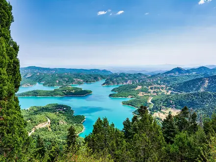
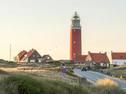
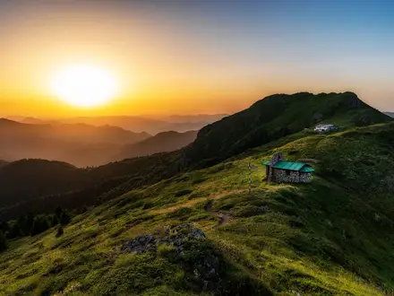
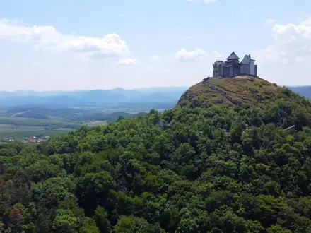
Photos from hikers
Taken on the trail by people who've reviewed Pohorje Transversal Trail.
Reviews
How would you rate Pohorje Transversal Trail?
Tap a star to start your review — you could be the first.