Rysy Summit Trail (Slovakia Route)
How would you rate Rysy Summit Trail (Slovakia Route)?
Tap a star to share your experience and help other hikers.
Rysy Summit Trail: Slovakia’s High Tatras Border Summit
HikeList Score
Rysy Summit Trail (Slovakia Route) scored 74/100 on HikeList's trail-quality metrics.
See score breakdownHide breakdown
- Ideal length 55
- Balanced challenge 52
- Scenery & wildness 82
- Varied terrain 100
- Accommodation 75
- Food & support 88
- Path quality 87
- Season flexibility 89
Computed from length, challenge, scenery & wildness, terrain variety, accommodation, food & support, path quality and season flexibility.
The Rysy Summit Trail is a 20 km, strenuous out-and-back day hike from Štrbské Pleso in the High Tatras of Slovakia. It climbs about 1,250 m to the Slovak-Polish border ridge, passing Popradské Pleso, the Mengusovská Valley and Chata pod Rysmi before a steep, chain-secured rocky section. This is a route for fit, sure-footed hikers with a head for heights, not a casual lake walk. Expect a long 7–10 hour round trip in summer conditions.
Route Overview
Start and finish at Štrbské Pleso, the lakeside resort and trailhead in the High Tatras. The route begins on asphalt resort road, continues on forest track and dirt path to Popradské Pleso, then climbs through the granite-walled Mengusovská Valley towards the Žabie plesá. Above the tarns, the trail steepens into boulders and a chain-and-ladder protected rock threshold below Chata pod Rysmi. From the hut, the final climb reaches the Rysy summit area on the Slovak-Polish border. The verified route is an out-and-back; some walkers descend by a slight Váha variation, but it remains essentially there-and-back. For another hard Tatra summit, compare the Kriváň Summit Trail.
Rysy: recorded ascents and famous visitors
Rysy’s first recorded ascent was in 1840 by Ede Blásy with his guide Ján Ruman-Driečny Sr. The first winter ascent followed in 1884 by Theodor Wundt and Jakob Harvey. The mountain also attracted well-known visitors: Marie Curie-Skłodowska climbed it with Pierre Curie in 1899, and Vladimir Lenin reached the summit in 1913. A commemorative Lenin plaque later placed on the mountain was repeatedly torn down by local highlanders during the communist era.
Notable highlights
- Chain-secured summit scramble: The crux is the rocky threshold below Chata pod Rysmi, protected by fixed chains and ladders. It is climbed both up and down, so two-way congestion is common in peak season.
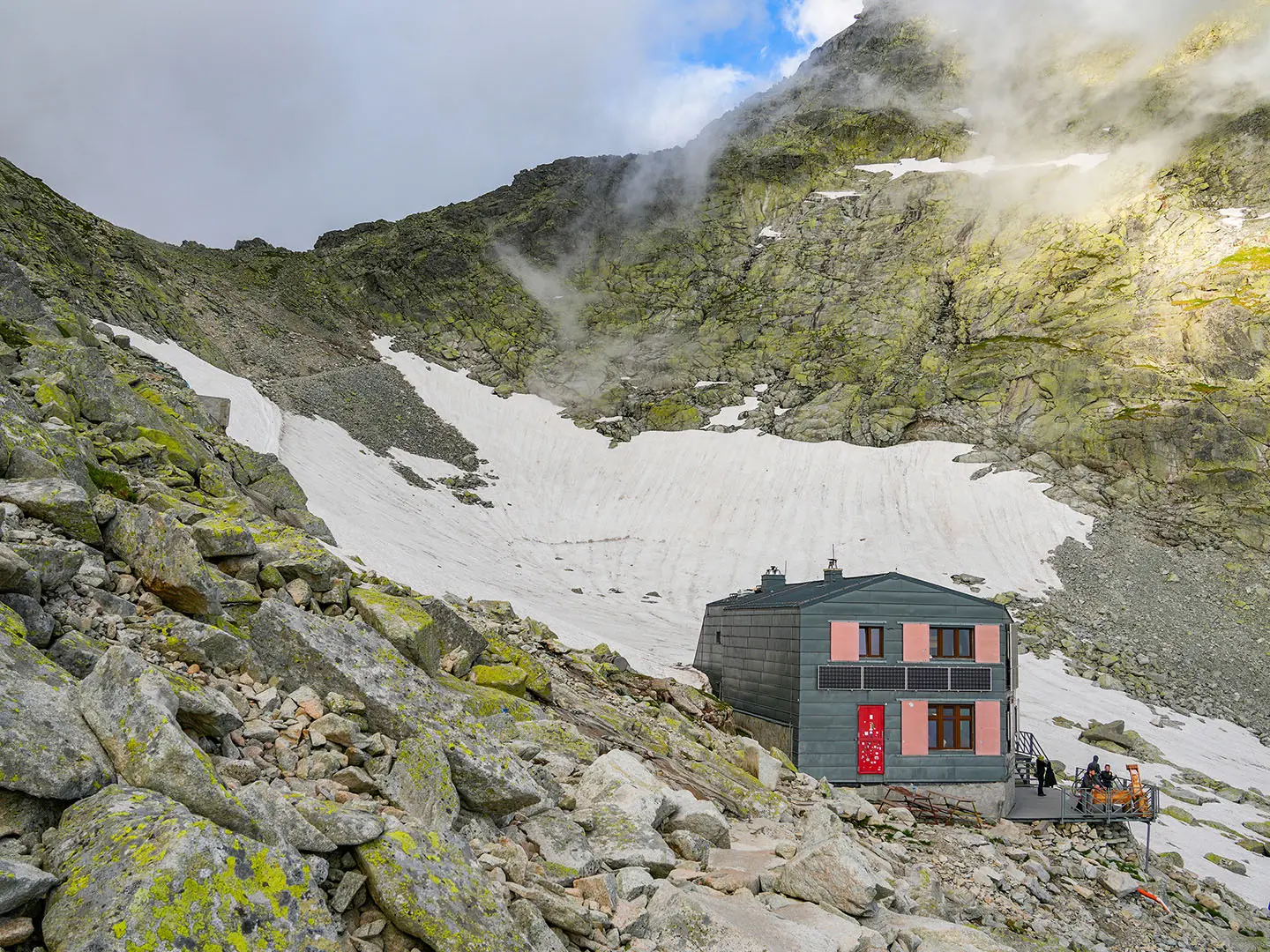
- Chata pod Rysmi (~2,250 m): The highest mountain hut in the Tatras sits in a boulder field and is the last rest and refreshment stop before the final climb.
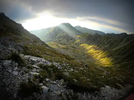
- Rysy summit (~2,503 m): The massif has three summits on the Slovak-Polish border ridge. Its north-western summit is the highest point in Poland, while Slovak walkers typically reach the main summit at about 2,503 m.
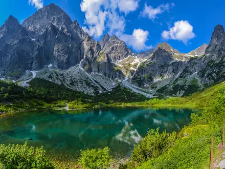
- Popradské Pleso: This alpine lake and lakeside mountain hut come early in the route, about 4 km from Štrbské Pleso.
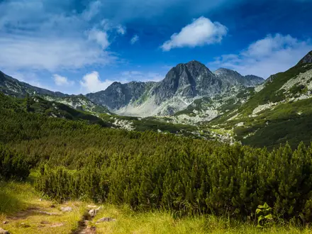
- Mengusovská Valley and Žabie plesá: The climb passes through a granite-walled glacial valley dotted with tarns, including Malé and Veľké Žabie pleso.
Challenges to expect
The difficulty comes from the length, 1,250 m of ascent, loose boulders and the exposed chain-and-ladder section below Chata pod Rysmi. The secured section is used in both directions, so queues and rockfall awareness matter in summer. The Slovak trail and Chata pod Rysmi are closed from 1 November to 1 June due to snow and avalanche risk. For a different strenuous Slovak objective, see the Baníkov Summit Trail or the longer Low Tatras Ridge Trail.
HikeList Score
Rysy Summit Trail (Slovakia Route) scored 74/100 on HikeList's trail-quality metrics.
See score breakdownHide breakdown
- Ideal length 55
- Balanced challenge 52
- Scenery & wildness 82
- Varied terrain 100
- Accommodation 75
- Food & support 88
- Path quality 87
- Season flexibility 89
Computed from length, challenge, scenery & wildness, terrain variety, accommodation, food & support, path quality and season flexibility.
 Slovakia
Show more data Show less
- Mountainous
- Forest
- Glacial Valley
- Alpine
- Rocky
- Paved
- Dirt
- Gravel
- Rocky
- Boulders
- Huts
- Hotels
- Pensions
- Pet Friendly
- Restrooms
- Water Sources
- Campsites
- Shelters
In these collections
Photos from hikers
Taken on the trail by people who've reviewed Rysy Summit Trail (Slovakia Route).
Reviews
How would you rate Rysy Summit Trail (Slovakia Route)?
Tap a star to start your review — you could be the first.