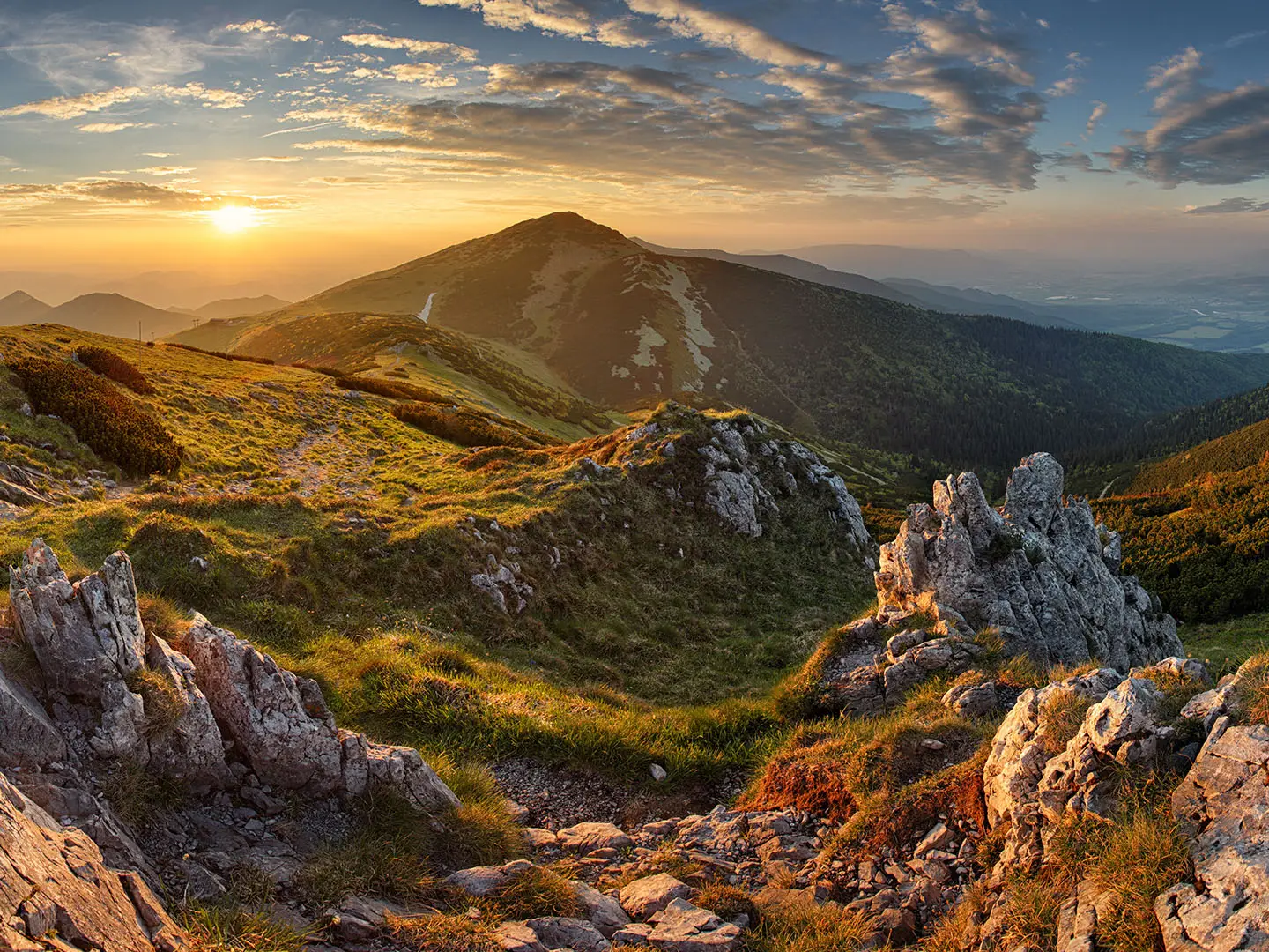
Cesta Hrdinov SNP (Trail of the Heroes of the Slovak National Uprising)
How would you rate Cesta Hrdinov SNP (Trail of the Heroes of the Slovak National Uprising)?
Tap a star to share your experience and help other hikers.
Cesta Hrdinov SNP: Slovakia’s Great Long-Distance Thru-Hike
HikeList Score
Cesta Hrdinov SNP (Trail of the Heroes of the Slovak National Uprising) scored 72/100 on HikeList's trail-quality metrics.
See score breakdownHide breakdown
- Ideal length 61
- Balanced challenge 48
- Scenery & wildness 98
- Varied terrain 64
- Accommodation 75
- Food & support 81
- Path quality 71
- Season flexibility 76
Computed from length, challenge, scenery & wildness, terrain variety, accommodation, food & support, path quality and season flexibility.
Cesta Hrdinov SNP is a roughly 770 km point-to-point hike across Slovakia, running between Dukla Pass near the Polish border and Devín Castle in Bratislava. A continuous thru-hike usually takes 25–30 days. This is an expert, strenuous route: expect about 31,000 m of cumulative ascent, long forest and mountain stages, and exposed high-alpine ridge sections in the Tatras. It suits experienced multi-day hikers who can manage big elevation, variable weather and self-sufficient days between villages and mountain huts.
Route Overview
The trail can be walked west-to-east or east-to-west between Devín Castle on the Austrian border and Dukla Pass in north-east Slovakia. In order from east to west it links Dukla Pass, Svidník, Bardejov, Veľký Šariš, Kysak, Košice, Telgárt, Kráľova hoľa, Čertovica, Ďumbier, Chopok, Donovaly, Kremnické Bane, Čičmany, Trenčín, Myjava, Pezinská Baba and Devín Castle. It is mostly red-blazed, maintained by the Slovak Tourist Club, and largely coincides with the E8 European long-distance path. The Low Tatras section overlaps the kind of terrain covered on the Low Tatras Ridge Trail.
A Memorial Route for the Slovak National Uprising
Cesta Hrdinov SNP is named after the 1944 Slovak National Uprising, an armed insurrection against the Nazi-aligned wartime Slovak state and occupying German forces. Opened in 1956, the route was planned to connect regions and mountain areas associated with partisan activity and uprising events. That makes it both Slovakia’s flagship long-distance hike and a memorial corridor: the walking is not only physical, but also tied closely to the country’s twentieth-century history.
Notable highlights
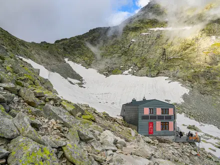
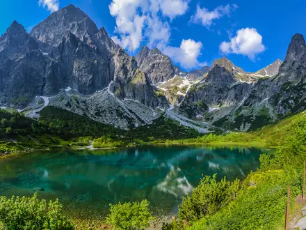
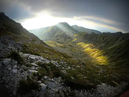
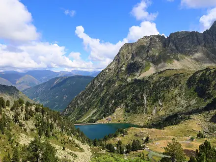
- Low Tatras ridge — Ďumbier and Chopok: The trail crosses Ďumbier, at 2,046 m the highest point on the route, and nearby Chopok at 2,024 m. This exposed alpine section is one of the route’s toughest and most scenic; hikers focused on the summit can compare it with the Ďumbier Summit Trail.
- Kráľova hoľa: A bare grassy summit at 1,946 m and the eastern bastion of the Low Tatras. It is strongly associated with Slovak folklore and song, and marks a major mountain objective on the thru-hike.
- Devín Castle: The western terminus stands on a crag above the confluence of the Danube and Morava rivers, on the former Iron Curtain frontier. For a shorter local walk from this area, see the Devín Castle to Bratislava Trail.
- Košice: Eastern Slovakia’s largest city, with the Gothic St Elisabeth Cathedral. It gives the route an urban and historic counterpoint to the long mountain and forest sections.
- Čičmany: A heritage village known for white geometric patterns painted on dark log houses. It is one of the most distinctive cultural stops on the trail.
- E8 connection: Cesta Hrdinov SNP forms the Slovak leg of the E8 European long-distance path and links with the Czech trail to create a much longer continuous waymarked route.
Challenges to expect
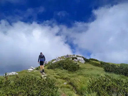
The main challenge is scale: about 770 km, 31,000 m of ascent and repeated mountain ranges. Roughly 90% is on footpaths and forest or mountain trails, with some asphalt. The Tatras bring exposed ridge walking and fast-changing weather; the Chopok–Ďumbier stretch has no refreshments. Navigation is helped by red blazes, but long days, resupply timing and protected-area rules still require careful planning.
HikeList Score
Cesta Hrdinov SNP (Trail of the Heroes of the Slovak National Uprising) scored 72/100 on HikeList's trail-quality metrics.
See score breakdownHide breakdown
- Ideal length 61
- Balanced challenge 48
- Scenery & wildness 98
- Varied terrain 64
- Accommodation 75
- Food & support 81
- Path quality 71
- Season flexibility 76
Computed from length, challenge, scenery & wildness, terrain variety, accommodation, food & support, path quality and season flexibility.
 Slovakia
Show more data Show less
- Mountainous
- Forest
- Dirt
- Paved
- Huts
- Hotels
- Campsites
- Pet Friendly
- Water Sources
- Campsites
- Shelters
In these collections
Photos from hikers
Taken on the trail by people who've reviewed Cesta Hrdinov SNP (Trail of the Heroes of the Slovak National Uprising).
Reviews
How would you rate Cesta Hrdinov SNP (Trail of the Heroes of the Slovak National Uprising)?
Tap a star to start your review — you could be the first.