Shirakami Sanchi Traverse
How would you rate Shirakami Sanchi Traverse?
Tap a star to share your experience and help other hikers.
Shirakami Sanchi Traverse: Mt Shirakami-dake Hiking Guide
HikeList Score
Shirakami Sanchi Traverse scored 69/100 on HikeList's trail-quality metrics.
See score breakdownHide breakdown
- Ideal length 55
- Balanced challenge 52
- Scenery & wildness 98
- Varied terrain 64
- Accommodation 58
- Food & support 65
- Path quality 98
- Season flexibility 76
Computed from length, challenge, scenery & wildness, terrain variety, accommodation, food & support, path quality and season flexibility.
The real hiking objective in Shirakami-Sanchi is the strenuous climb of Mt Shirakami-dake (1,235 m), the highest accessible peak of this UNESCO-listed beech-forest range on the Aomori/Akita border in northern Tohoku, Japan. The standard route is about 19 km, usually done as a long 6–8 hour day hike, with roughly 1,225 m of ascent. It suits fit hikers comfortable with steep forest trails, exposed ridges, limited water and changeable mountain weather.
Route Overview
Start at Shirakami-dake Tozanguchi car park, about a 30-minute walk from Shirakami-dake Tozanguchi station on the JR Gono Line. Most hikers climb via the Maetake ridge route, following beech forest, switchbacks and wooden steps to the Maetake/Mateyama fork, then continuing along the main ridge to Mt Shirakami-dake summit. Return the same way for the standard out-and-back. Experienced hikers can descend the steeper Futamata (Futama) route to make a harder loop with fixed ropes and river crossings. For other Japan hiking styles, compare the coastal Michinoku Coastal Trail, alpine Kamikochi to Mount Yari Trail or pilgrimage-focused Kumano Kodo Nakahechi Route.
Shirakami-Sanchi’s Beech Forest and Matagi Heritage
Shirakami-Sanchi protects the last great expanse of virgin Japanese beech, or buna, forest that once covered much of northern Japan. Its remoteness and rugged terrain helped keep the ecosystem intact, and in 1993 it became one of Japan’s first two natural UNESCO World Heritage sites. The region is also the traditional homeland of the Matagi, mountain hunter-gatherers whose strict hunting code shaped local culture; some Matagi now guide forest eco-tours.
Notable highlights
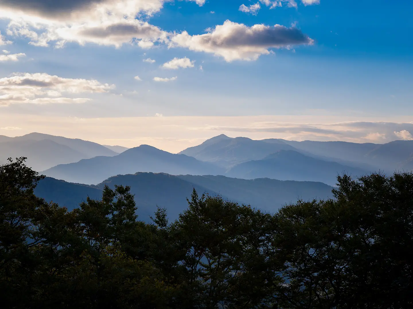
- Mt Shirakami-dake summit (1,235 m): The range’s highest accessible peak. On clear days it looks inland over protected beech forest and west towards the Sea of Japan.
- Virgin beech (buna) forest: Japan’s largest surviving primeval Japanese beech forest forms the heart of the UNESCO listing. The lower trail passes through mossy old-growth woods, especially striking in autumn colour.
- Summit refuge hut: A free, basic emergency shelter with a toilet near the top. There is no water, so overnight hikers must carry everything they need.
- Futamata (Futama) descent route: A much harder alternative descent with fixed ropes and river crossings. Use it only if you are experienced, sure-footed and conditions are safe.
- Matagi heritage: Shirakami is tied to the Matagi mountain-hunter tradition. Their local knowledge remains part of how visitors understand the forest today.
- Aoike (Blue Pond), Juniko: A vivid sapphire pond in the Juniko area on the coastal north-west side of the range. It is a separate easy excursion, not part of the summit climb.
Challenges to expect
Expect a serious mountain day: sustained steep climbing, switchbacks, wooden steps, roots and mud after rain. Water is limited and the summit hut has none. Cloud, mist and sharp temperature drops are common on the ridge, and mobile signal is unreliable, so carry a map. Bears are present; use noise-makers and manage food carefully. The wider UNESCO core zone is permit-restricted.
HikeList Score
Shirakami Sanchi Traverse scored 69/100 on HikeList's trail-quality metrics.
See score breakdownHide breakdown
- Ideal length 55
- Balanced challenge 52
- Scenery & wildness 98
- Varied terrain 64
- Accommodation 58
- Food & support 65
- Path quality 98
- Season flexibility 76
Computed from length, challenge, scenery & wildness, terrain variety, accommodation, food & support, path quality and season flexibility.
 Japan
JapanShow more data Show less
- Mountainous
- Forest
- Dirt
- Rocky
- Huts
- Wild Camping Spots
- Water Sources
- Campsites
- Shelters
Photos from hikers
Taken on the trail by people who've reviewed Shirakami Sanchi Traverse.
Reviews
How would you rate Shirakami Sanchi Traverse?
Tap a star to start your review — you could be the first.