Kriváň Summit Trail
How would you rate Kriváň Summit Trail?
Tap a star to share your experience and help other hikers.
Kriváň Summit Trail: High Tatras Summit Day Hike
HikeList Score
Kriváň Summit Trail scored 77/100 on HikeList's trail-quality metrics.
See score breakdownHide breakdown
- Ideal length 55
- Balanced challenge 80
- Scenery & wildness 98
- Varied terrain 83
- Accommodation 57
- Food & support 74
- Path quality 98
- Season flexibility 76
Computed from length, challenge, scenery & wildness, terrain variety, accommodation, food & support, path quality and season flexibility.
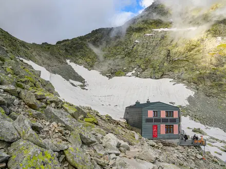
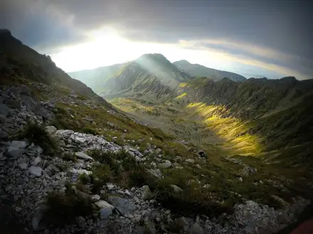
The Kriváň Summit Trail is a hard 18.5 km out-and-back ascent of Kriváň (2,494 m) in the High Tatras of northern Slovakia. Starting from Štrbské Pleso, it is a long single-day hike with about 1,200 m of ascent, forest and dwarf-pine approaches, then steep loose rock and hands-on scrambling near the top. It suits fit, experienced mountain walkers who can handle a 7.5–9 hour day, changing alpine weather and no food or water stops on the route.
Route Overview
Start and finish at Štrbské Pleso, a lakeside resort and railway hub on the Tatra Electric Railway and the cog railway from Štrba. The classic route follows the red-marked trail to Jamské pleso, then joins the blue-marked trail toward Kriváň. The long climb continues up Krivánsky žľab to Rázcestie pod Kriváňom, where the marked routes converge for the final rocky ascent via Daxnerovo sedlo / Malý Kriváň to Kriváň summit. Return by the same path. An alternative approach from Tri Studničky exists, but the Štrbské Pleso out-and-back is the standard, train-accessible line framed here. For another hard Tatra summit day, compare the Baníkov Summit Trail.
Kriváň and Slovak National Identity
Kriváň is a granite High Tatras peak and one of Slovakia’s strongest national symbols. The first recorded ascent was made by the Lutheran pastor Andreas Jonas Czirbes in 1773, though some sources give 1772. King Frederick Augustus II of Saxony climbed it in 1840, and Ľudovít Štúr ascended with companions in 1841, an event later celebrated in Slovak patriotic writing. Since 1955 the annual National Ascent of Kriváň has commemorated the Slovak National Uprising. The mountain was chosen by public vote for Slovakia’s euro coins in 2005.
Notable highlights
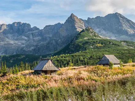
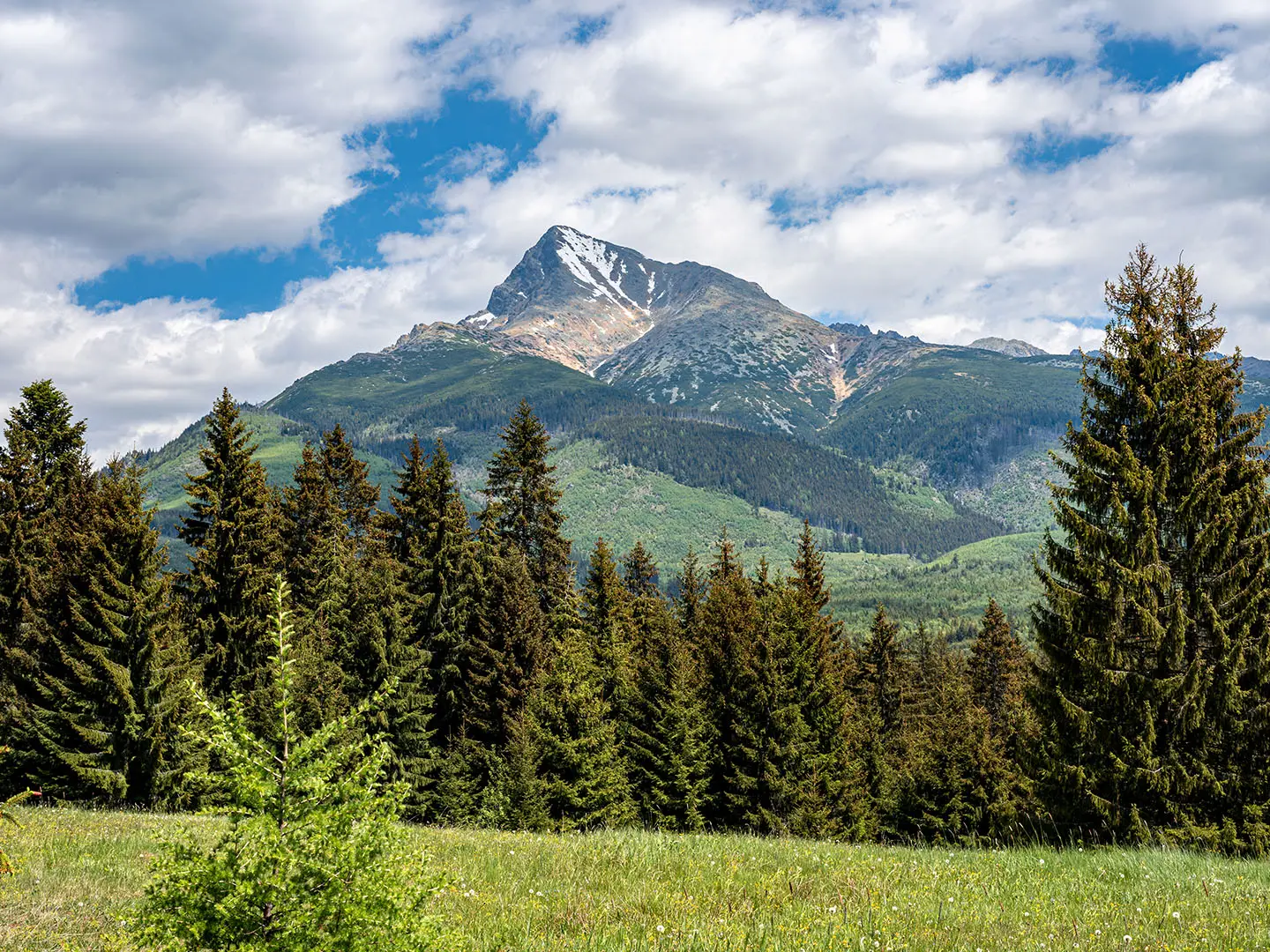
Kriváň summit (2,494 m): The mountain’s crooked, asymmetric ridge gives Kriváň its name, from Slovak krivý meaning “crooked” or “bent”. In clear weather the summit gives wide views across the High Tatras and south over the Liptov basin.
National symbol of Slovakia: Kriváň has been linked with Slovak national identity for two centuries and appears on Slovakia’s euro coins. The annual Národný výstup na Kriváň takes place on the third weekend of August.
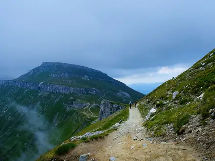
Steep rocky final climb: Above Rázcestie pod Kriváňom the final roughly 350 m of ascent is steep, blocky and partly exposed. This is the hands-on section and is hazardous when wet.
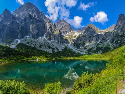
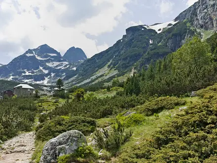
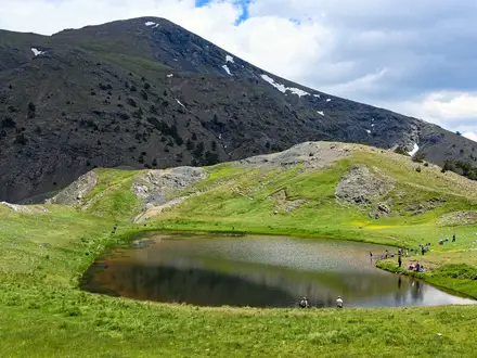
Jamské pleso: This small glacial tarn, reached early on the red-marked approach, is a useful pause before the longer blue-trail climb up Krivánsky žľab.
Štrbské Pleso trailhead: A glacial lake, mountain resort and transport hub at about 1,346 m, giving rail access to one of the High Tatras’ most iconic big-peak hikes.
Challenges to expect
Expect a full mountain day: around 1,200 m of ascent, no refreshments on the trail, and a steep loose-rock finish where hands are needed in places. The upper route is exposed to weather and dangerous when wet, with snow or ice possible outside the main season. TANAP rules require walkers to stay on marked trails; dogs and wild camping are not permitted. For a lower but still serious Slovak summit objective, see the Ďumbier Summit Trail, or for a multi-day option the Low Tatras Ridge Trail.
HikeList Score
Kriváň Summit Trail scored 77/100 on HikeList's trail-quality metrics.
See score breakdownHide breakdown
- Ideal length 55
- Balanced challenge 80
- Scenery & wildness 98
- Varied terrain 83
- Accommodation 57
- Food & support 74
- Path quality 98
- Season flexibility 76
Computed from length, challenge, scenery & wildness, terrain variety, accommodation, food & support, path quality and season flexibility.
 Slovakia
Show more data Show less
- Mountainous
- Forest
- Alpine
- Rocky
- Dirt
- Scree
- Hotels
- Water Sources
- Shelters
In these collections
Photos from hikers
Taken on the trail by people who've reviewed Kriváň Summit Trail.
Reviews
How would you rate Kriváň Summit Trail?
Tap a star to start your review — you could be the first.