Muránska Planina Trail
How would you rate Muránska Planina Trail?
Tap a star to share your experience and help other hikers.
Muránska Planina Trail: Karst Plateau Hiking in Slovakia
HikeList Score
Muránska Planina Trail scored 79/100 on HikeList's trail-quality metrics.
See score breakdownHide breakdown
- Ideal length 70
- Balanced challenge 84
- Scenery & wildness 98
- Varied terrain 64
- Accommodation 67
- Food & support 65
- Path quality 98
- Season flexibility 89
Computed from length, challenge, scenery & wildness, terrain variety, accommodation, food & support, path quality and season flexibility.
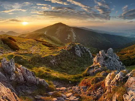
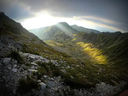
The Muránska Planina Trail is best treated as a self-planned, around 55 km, 3-day hike through Muránska Planina National Park in central Slovakia, not as an official signed thru-hike. The park has roughly 300 km of KST-marked paths, mostly circular day routes from villages such as Tisovec and Muráň. A linking itinerary across the plateau is hard: expect rocky karst paths, forested climbs, gorges, cliffs and exposed viewpoints. It suits confident hikers who can navigate a trail network rather than follow one branded route.
Route Overview
There is no single official route called the “Muránska Planina Trail”. Plan it as a custom point-to-point line or linked loop through the park’s marked network, commonly using Tisovec and Muráň as the best-served bases. Other gateways include Muránska Huta, Červená Skala and the Zbojská saddle. Key walking targets include Muráň Castle on the Cigánka cliff, Veľká Lúka meadow, Fabova hoľa, Kľak, Ťureň rock tower and Hrdzavá dolina. Waymarking uses standard Slovak KST red, blue, green and yellow signs, but route choice is yours. For a defined long-distance Slovak route, compare the Cesta Hrdinov SNP; for higher ridge walking nearby, see the Low Tatras Ridge Trail.
Muránska Planina: Castles, Grazing and Karst Protection
Muránska Planina National Park was declared in 1997 and opened in May 1998 to protect a heavily forested karst landscape with endemic plants such as Daphne arbuscula. Muráň Castle, built in the 13th century on the Cigánka cliff, guarded the Gemer–Liptov trade route before falling into ruin. The plateau’s meadows have long been grazed, and the Veľká Lúka stud farm, founded in 1950, established the semi-wild Hucul and Muráň-Norik horse herds now closely associated with the park.
Notable highlights
Muráň Castle (Cigánka cliff, 935 m): A ruined 13th-century royal sentry castle above the plateau. The climb is one of the park’s classic walks, with wide views towards Kráľova hoľa.
Veľká Lúka and the semi-wild horses: A high meadow and horse stud farm where Hucul and Muráň-type Norik horses graze freely. It is one of the most distinctive cultural landscapes in the national park.
Fabova hoľa (1,439 m): The highest summit inside Muránska Planina National Park. Reaching it means a long, rocky forest climb and some of the broadest views on the plateau.
Kľak and the rock gate: A 1,409 m peak with cliffs and a natural rock gate below the summit. It is a strong viewpoint over the limestone and dolomite karst.
Ťureň rock tower: A free-standing karst rock tower, roughly 76 m high. It is one of the plateau’s more striking rock formations.
Karst caves and Hrdzavá dolina: The plateau contains well over 150 caves, protected and closed to the public, plus gorges and sinkholes. Hrdzavá dolina is a national nature reserve and shows the rugged karst character of the park.
Challenges to expect
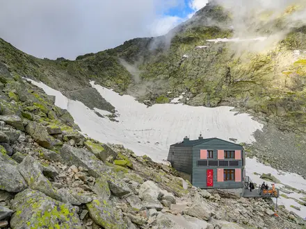
The main challenge is planning: this is a marked trail network, not one signed end-to-end route. Higher objectives such as Fabova hoľa, Kľak and the Muráň Castle climb involve sustained ascent, rocky or rooty paths and loose karst underfoot. Winter can bring snow, cold and fog on the plateau, so late spring to autumn is best. Accommodation is limited to huts/chalets, guesthouses and the Veľká Lúka campsite; wild camping is restricted in the national park. For a shorter peak focus, compare the Ďumbier Summit Trail.
HikeList Score
Muránska Planina Trail scored 79/100 on HikeList's trail-quality metrics.
See score breakdownHide breakdown
- Ideal length 70
- Balanced challenge 84
- Scenery & wildness 98
- Varied terrain 64
- Accommodation 67
- Food & support 65
- Path quality 98
- Season flexibility 89
Computed from length, challenge, scenery & wildness, terrain variety, accommodation, food & support, path quality and season flexibility.
Show more data Show less
- Mountainous
- Forest
- Dirt
- Rocky
- Huts
- Campsites
- Wild Camping Spots
- Family Friendly
- Pet Friendly
- Water Sources
- Campsites
- Shelters
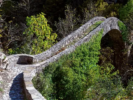
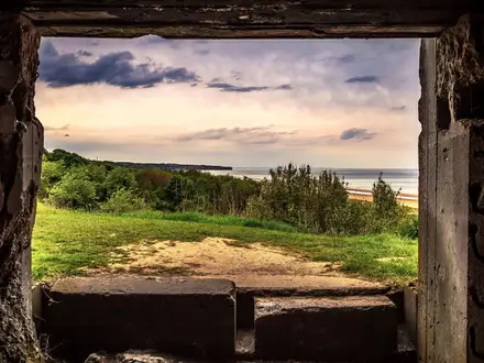
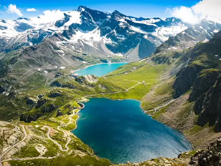
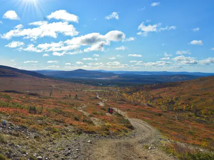
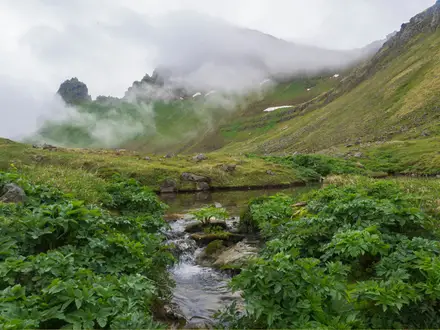
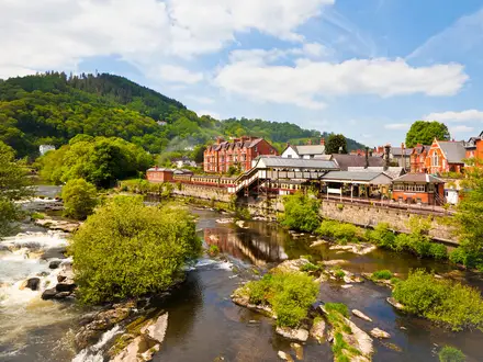
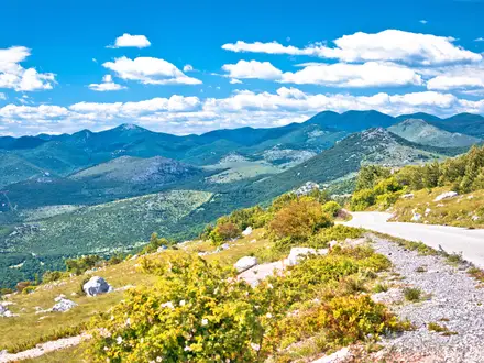
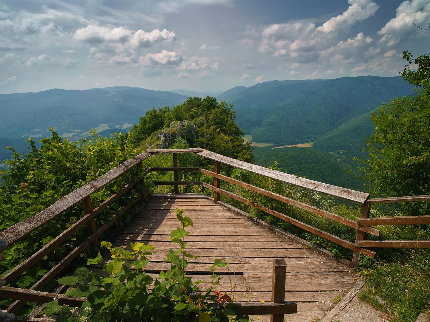
Photos from hikers
Taken on the trail by people who've reviewed Muránska Planina Trail.
Reviews
How would you rate Muránska Planina Trail?
Tap a star to start your review — you could be the first.