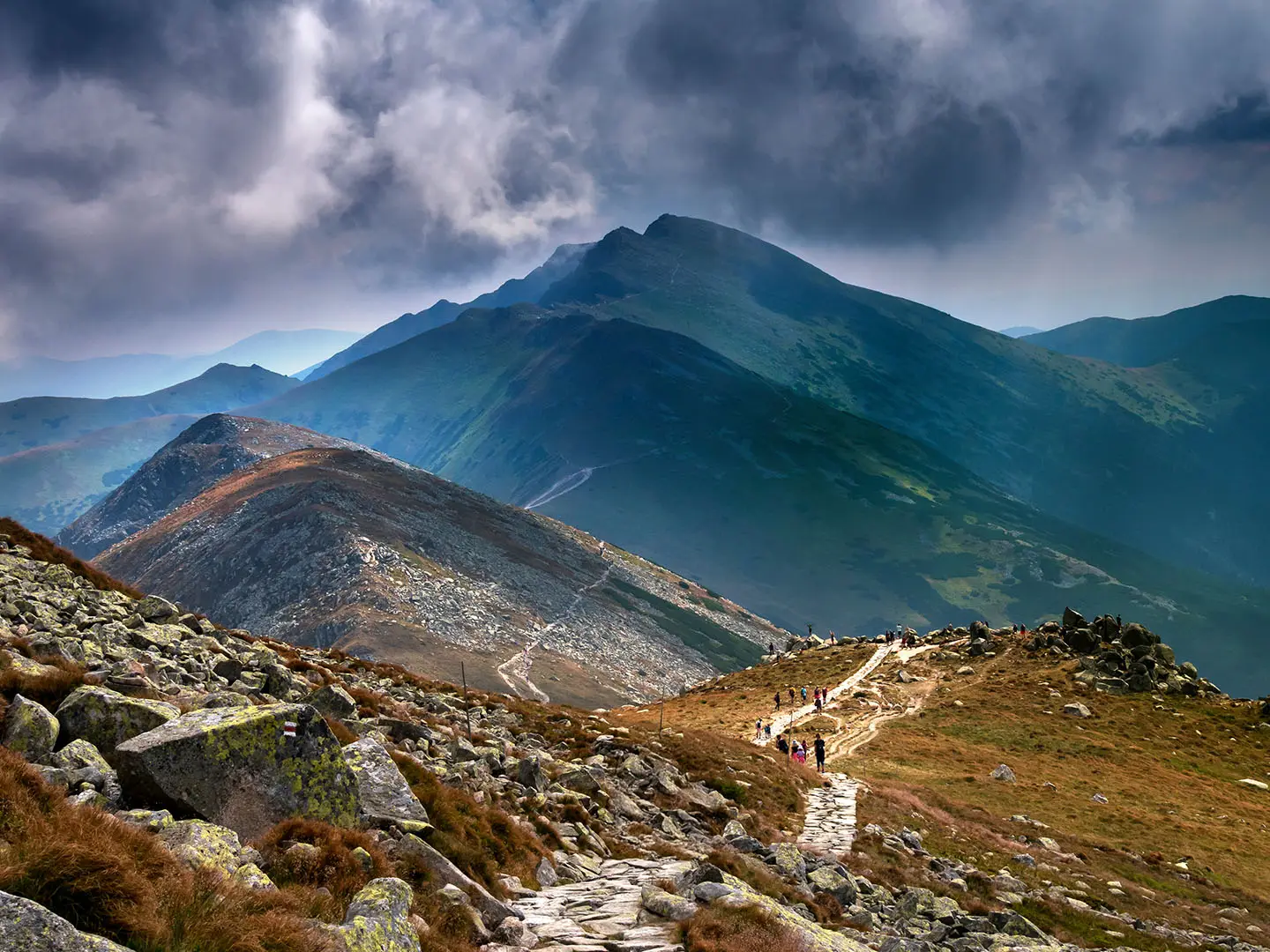
Ďumbier Summit Trail
How would you rate Ďumbier Summit Trail?
Tap a star to share your experience and help other hikers.
Ďumbier Summit Trail: Hard Day Hike to the Low Tatras High Point
HikeList Score
Ďumbier Summit Trail scored 74/100 on HikeList's trail-quality metrics.
See score breakdownHide breakdown
- Ideal length 55
- Balanced challenge 80
- Scenery & wildness 98
- Varied terrain 83
- Accommodation 49
- Food & support 65
- Path quality 98
- Season flexibility 76
Computed from length, challenge, scenery & wildness, terrain variety, accommodation, food & support, path quality and season flexibility.
The Ďumbier Summit Trail is a hard 14 km out-and-back day hike in Slovakia, climbing from Trangoška to Ďumbier, the 2,043 m high point of the Low Tatras. Expect about 1,080 m of ascent, a staffed mountain hut stop at Chata M. R. Štefánika, then a red-marked rocky ridge to the summit. It suits fit, sure-footed hikers comfortable with exposed alpine ground and a long 6.5–8 hour mountain day.
Route Overview
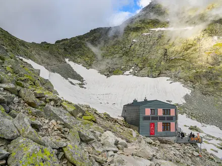
Start and finish at Trangoška, a ski and parking area south of the Low Tatras ridge at about 1,120–1,130 m, with the Veľký Gápeľ bus stop nearby. The standard line climbs the green-marked trail to Chata M. R. Štefánika at 1,740 m, reached in about 3.4 km / 2 hours, then continues via Krúpova hoľa / Krúpova sedlo onto the red-marked ridge for Ďumbier summit. Most walkers return the same way. A longer loop or ridge variant can link towards Chopok and Kamenná chata. The summit ridge here also carries the red-marked Cesta Hrdinov SNP, and for a fuller traverse of the range see the Low Tatras Ridge Trail; northern approaches climb from the Demänovská Valley.
Mining, Partisans and Štefánik’s Name
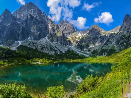
Ďumbier is the granite high point of the Nízke Tatry, shaped by past glaciation. The massif was mined in the Middle Ages for gold, iron and antimony, and those remains are now protected within Low Tatras National Park. During the Second World War, Slovak partisans fought German forces around the mountain; the summit’s wooden double cross commemorates that history. Chata M. R. Štefánika is named after Milan Rastislav Štefánik, a Slovak general, astronomer and statesman.
Notable highlights
- Ďumbier summit (2,043 m): The highest point of the Low Tatras, with wide views towards the High Tatras, Western Tatras and the Horehronie/Hron valley when cloud allows.
- Wooden double cross war memorial: The summit cross commemorates Second World War partisan fighting around Ďumbier; a related plaque is at Chata M. R. Štefánika.
- Chata M. R. Štefánika (1,740 m): A year-round staffed hut beneath the summit, offering meals, beds, toilet and shower, and a natural rest stop before the final climb.
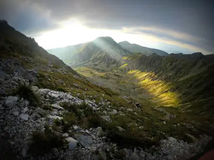
- Exposed summit ridge: The upper red-marked section turns rocky and airy, with a short, easy hands-on scramble to reach the top.
- Mining heritage: The Ďumbier massif contains remains of medieval gold, iron and antimony mines, now within Low Tatras National Park.
Challenges to expect
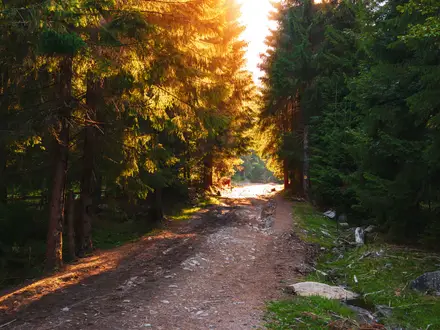
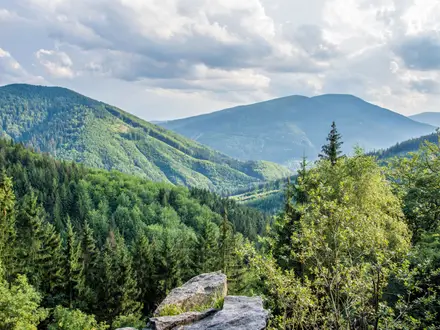
The main challenge is the sustained climb: about 1,080 m of ascent in a 14 km day. Lower forest and ski-slope tracks give way to open grassland, then stony alpine ridge. The final approach is rocky, exposed and may need easy hands-on scrambling, so sturdy footwear and sure-footedness matter. The summit is often cloud-capped. In winter, the ridge is ski-mountaineering terrain and access rules apply around snow cover and erosion protection. Hikers chasing another iconic Slovak summit often pair it with the Kriváň Summit Trail in the neighbouring High Tatras.
HikeList Score
Ďumbier Summit Trail scored 74/100 on HikeList's trail-quality metrics.
See score breakdownHide breakdown
- Ideal length 55
- Balanced challenge 80
- Scenery & wildness 98
- Varied terrain 83
- Accommodation 49
- Food & support 65
- Path quality 98
- Season flexibility 76
Computed from length, challenge, scenery & wildness, terrain variety, accommodation, food & support, path quality and season flexibility.
 Slovakia
Show more data Show less
- Mountainous
- Forest
- Alpine
- Dirt
- Rocky
- Gravel
- Huts
- Family Friendly
- Pet Friendly
- Restrooms
- Water Sources
- Shelters
Photos from hikers
Taken on the trail by people who've reviewed Ďumbier Summit Trail.
Reviews
How would you rate Ďumbier Summit Trail?
Tap a star to start your review — you could be the first.