Hornstrandir Trek
How would you rate Hornstrandir Trek?
Tap a star to share your experience and help other hikers.
Hornstrandir Trek: Iceland’s Remote Westfjords Traverse
HikeList Score
Hornstrandir Trek scored 80/100 on HikeList's trail-quality metrics.
See score breakdownHide breakdown
- Ideal length 85
- Balanced challenge 84
- Scenery & wildness 85
- Varied terrain 83
- Accommodation 67
- Food & support 65
- Path quality 98
- Season flexibility 63
Computed from length, challenge, scenery & wildness, terrain variety, accommodation, food & support, path quality and season flexibility.
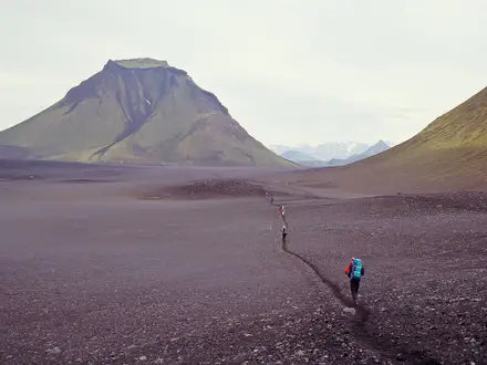
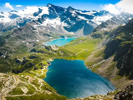
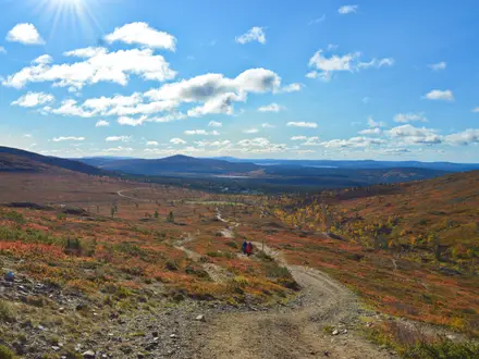
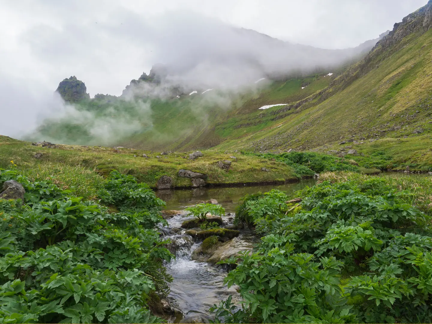
The Hornstrandir Trek is a hard, roughly 55 km, 5-day wilderness backpacking traverse in Hornstrandir Nature Reserve at the northern tip of Iceland. It suits experienced, self-sufficient hikers only: there are no roads, shops, maintained trails, reliable mobile coverage or rescue infrastructure, and access is by boat. Expect coastal fjords, tundra, bog, rocky passes, snowfields into summer, unbridged river crossings and fast-changing Arctic weather.
Route Overview
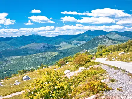
This is a point-to-point trek, normally arranged around boat drop-off and pick-up points. A typical line runs from Veiðileysufjörður to Hornvík, then via Hlöðuvík and Aðalvík’s Látrar/Sæból area to Hesteyri, or in reverse. Hesteyri and Aðalvík are common west-side ferry points; Veiðileysufjörður and Hornvík serve the east, with boats from Ísafjörður and also Bolungarvík or Norðurfjörður. Key crossings include Hafnarskarð, Kýrskarð, Atlaskarð and Hesteyrarskarð. If you are adding easier Westfjords walks around the same trip, compare the Bolafjall Viewpoint Trail or Dynjandi Waterfall Trail.
Hornstrandir’s Abandoned Settlements
Hornstrandir was inhabited for centuries by small communities living from farming, fishing and seabird harvesting on the cliffs. Hesteyri grew around a Norwegian whaling station and later a herring-processing plant, but the population declined as herring failed and people moved to towns. The last permanent residents left in the 1950s. Since 1975 the peninsula has been protected as Hornstrandir Nature Reserve, though former residents and descendants still maintain summer houses in the reserve.
Notable highlights
- Hornvík: The trek’s central bay, backed by Hornbjarg and Hælavíkurbjörg sea cliffs, with a long beach and a campsite. The Hafnarós river crossing is usually knee-deep and tide-dependent.
- Hornbjarg and Kálfatindur (534 m): Hornstrandir’s signature sea cliff and the trek’s high point. Kálfatindur is a classic side-climb from Hornvík, with exposed drops to the North Atlantic.
- Seabird cliffs: Hornbjarg and Hælavíkurbjörg hold large colonies of guillemots, Brünnich’s guillemots, razorbills, kittiwakes and puffins. Their scale is one of the main reasons hikers come here.
- Arctic foxes: Hornstrandir is the only place in Iceland where Arctic foxes are fully protected from hunting. Sightings are common, especially near cliffs and denning areas.
- Hesteyri: An abandoned village and common ferry point. Its restored buildings include the Doctor’s House guesthouse, set among meadows below the mountains.
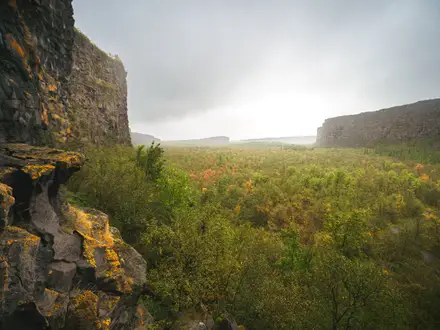
- Aðalvík: A broad west-facing bay with the former hamlets of Látrar and Sæból, an old church and farm ruins. It is a sheltered, history-rich stop on the traverse.
Challenges to expect
Navigation is serious: many sections are faint, cairned or unmarked, so carry map, compass and GPS. Terrain includes bog, moss heath, boulder beaches, scree, steep passes and lingering snowfields. Rivers are unbridged, weather changes fast, and there is no resupply or dependable mobile signal. Carry all food, fuel and storm-worthy camping gear. For a different hard Icelandic mountain route with easier access, see the Fimmvörðuháls Trail.
HikeList Score
Hornstrandir Trek scored 80/100 on HikeList's trail-quality metrics.
See score breakdownHide breakdown
- Ideal length 85
- Balanced challenge 84
- Scenery & wildness 85
- Varied terrain 83
- Accommodation 67
- Food & support 65
- Path quality 98
- Season flexibility 63
Computed from length, challenge, scenery & wildness, terrain variety, accommodation, food & support, path quality and season flexibility.
Show more data Show less
- Mountainous
- Coastal
- Arctic
- Dirt
- Rocky
- Snow
- Huts
- Campsites
- Wild Camping Spots
- Pet Friendly
- Water Sources
- Campsites
- Shelters
In these collections
Photos from hikers
Taken on the trail by people who've reviewed Hornstrandir Trek.
Reviews
How would you rate Hornstrandir Trek?
Tap a star to start your review — you could be the first.