Káli Basin Loop
How would you rate Káli Basin Loop?
Tap a star to share your experience and help other hikers.
Káli Basin Loop: Villages, Vineyards and Stone Seas
HikeList Score
Káli Basin Loop scored 80/100 on HikeList's trail-quality metrics.
See score breakdownHide breakdown
- Ideal length 55
- Balanced challenge 100
- Scenery & wildness 74
- Varied terrain 100
- Accommodation 75
- Food & support 81
- Path quality 89
- Season flexibility 89
Computed from length, challenge, scenery & wildness, terrain variety, accommodation, food & support, path quality and season flexibility.
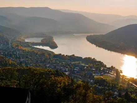
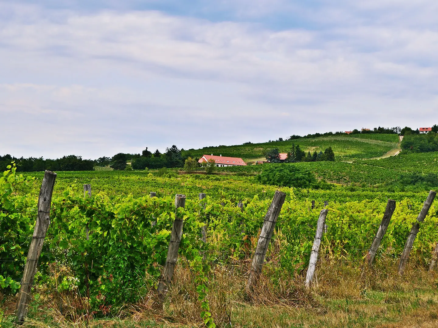
The Káli Basin Loop is a moderate circular day hike in the Káli-medence, a protected landscape in the Balaton Uplands of western Hungary. The listed circuit is about 19.5 km and usually takes 5–7 hours, though local variants range from short village loops to a longer grand circuit. It suits hikers who want rolling terrain, wine villages, meadows, woodland and geological sights without mountain exposure or scrambling.
Route Overview
Most walkers start and finish in Kővágóörs, which is well served by rail and road, but the loop can also be joined at Köveskál, Salföld, Szentbékkálla or Kékkút. A typical circuit links Kővágóörs, Köveskál and nearby Kornyi-tó, Szentbékkálla, Mindszentkálla, Salföld and Kékkút on field tracks, village lanes and wooded paths. A section of Hungary’s National Blue Trail also threads through the same villages, so check markings against your chosen variant. For a longer regional route, see the Balaton Uplands Trail; for nearby volcanic terrain, compare the Badacsony Volcano Trail and the Bakony Hills Trail.
Stone-Cutters, Monks and a Protected Basin
The Káli Basin’s history is visible in its place names, ruins and land use. Kővágóörs reflects the area’s stone-cutting heritage, linked to sandstone quarried for millstones. At Salföld, the Pauline monastery ruins recall the medieval religious landscape: its church was first recorded in 1263 and the complex was devastated around the mid-16th century during the Ottoman wars. The wider landscape was declared protected in 1984 and now sits within Balaton Uplands National Park.
Notable highlights
- Szentbékkálla Stone Sea (kőtenger): A field of huge weathered sandstone blocks on the edge of Szentbékkálla. It is the basin’s key geological sight and a short, worthwhile detour on many loop variants.
- Salföld Pauline monastery ruins: Gothic remains of a 13th-century Pauline monastery, with high walls, arched openings and a cloister well still visible. It gives the walk a strong historical focus beyond the villages.
- Salföldi Major show farm: A National Park show farm in Salföld with traditional Hungarian breeds including grey cattle, water buffalo and racka sheep. It also functions as an ecotourism and information hub for the basin.
- Kornyi-tó near Köveskál: A reed-fringed lake of roughly 15 hectares, fed by karst water and rainfall. It is a quiet picnic and birdwatching stop, with nesting habitat for many bird species.
- Káli Basin villages and wine cellars: Kővágóörs, Köveskál, Szentbékkálla, Mindszentkálla, Salföld and Kékkút bring whitewashed stone cottages, church towers, basalt architecture and small wine cellars into the day.
- Hegyestű basalt cone: A nearby landmark on the north-eastern rim near Monoszló, not the high point of the core loop. Its geological visitor site is closed for nature-protection reasons as of 2026.
Challenges to expect
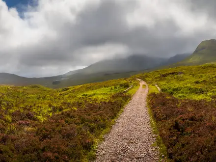
This is gentle rather than mountainous, but it is still a full day on foot. Expect long open stretches between villages, limited shade across meadows, and a mix of dirt, grassy, gravel, rocky and short paved surfaces. Navigation depends on the loop variant you choose; this is not one single officially registered, uniquely waymarked long-distance trail. Carry water, especially in warm weather.
HikeList Score
Káli Basin Loop scored 80/100 on HikeList's trail-quality metrics.
See score breakdownHide breakdown
- Ideal length 55
- Balanced challenge 100
- Scenery & wildness 74
- Varied terrain 100
- Accommodation 75
- Food & support 81
- Path quality 89
- Season flexibility 89
Computed from length, challenge, scenery & wildness, terrain variety, accommodation, food & support, path quality and season flexibility.
 Hungary
Show more data Show less
- Rolling Farmland
- Vineyards
- Meadows
- Woodland
- Low Ridges
- Dirt
- Grass
- Rocky
- Gravel
- Paved
- Cobbled
- Guesthouses
- Pensions
- Campsites
- Family Friendly
- Pet Friendly
- Water Sources
- Campsites
- Picnic Areas
In these collections
Photos from hikers
Taken on the trail by people who've reviewed Káli Basin Loop.
Reviews
How would you rate Káli Basin Loop?
Tap a star to start your review — you could be the first.