Brocken Circuit
How would you rate Brocken Circuit?
Tap a star to share your experience and help other hikers.
Brocken Circuit: Schierke Loop to the Harz Summit
HikeList Score
Brocken Circuit scored 80/100 on HikeList's trail-quality metrics.
See score breakdownHide breakdown
- Ideal length 55
- Balanced challenge 80
- Scenery & wildness 98
- Varied terrain 71
- Accommodation 75
- Food & support 88
- Path quality 98
- Season flexibility 89
Computed from length, challenge, scenery & wildness, terrain variety, accommodation, food & support, path quality and season flexibility.
The Brocken Circuit is a 19 km hard day-hike in the Harz National Park, Germany, climbing the Brocken (1,141 m) from Schierke and returning by a different forest route. It suits fit hikers who want a full mountain day with about 900 m of ascent, railway history, exposed summit weather and good waymarking. This is not one official trail: the listing describes the popular Schierke loop assembled from Harzklub paths. For longer Harz walks, compare the Harzer Hexenstieg or Harzer Grenzweg.
Route Overview
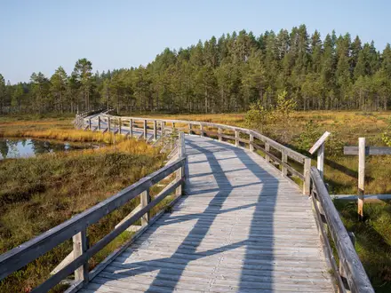
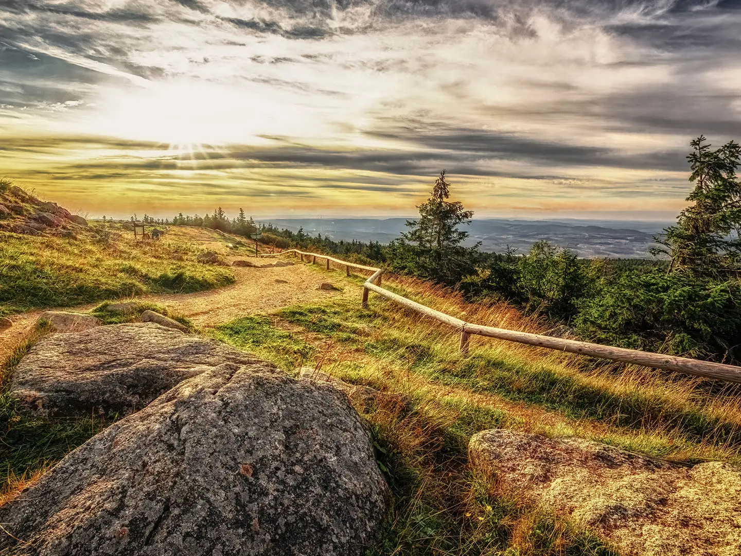
Start and finish in Schierke, usually by the railway station or National Park building near Wernigerode. The loop climbs towards the Brocken past and alongside the Brockenbahn of the Harz Narrow-Gauge Railway, then follows the Goetheweg towards the summit. Near the top, the route reaches the open, weather-prone plateau with the Brockenhaus, Brockengarten, and granite tors including Teufelskanzel and Hexenaltar. The descent uses broad forest tracks, passing the Waldgasthaus Plessenburg, before returning to Schierke. It is a circular day route, but several Brocken loop variants exist; this page refers to the 19 km Schierke circuit. For another Harz hut-to-hut style option, see the Harzer BaudenSteig.
Brocken history: witches, Goethe and the Cold War
The Brocken has long been linked with Walpurgisnacht witch legends and was made famous by Johann Wolfgang von Goethe, who climbed it in 1777 and later used it in Faust. Tourism grew after the narrow-gauge railway reached the summit in 1899. After 1945 the mountain lay just inside East Germany; from 1961 it became a sealed military and Stasi/Soviet listening post in the inner-German border zone. It reopened to the public in December 1989 and is now a focal point of Harz National Park.
Notable highlights
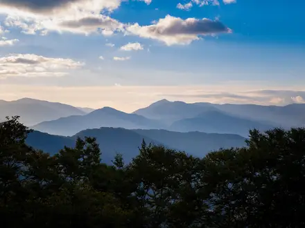
Brocken summit (1,141 m): The highest peak in the Harz and in northern Germany. Expect an exposed, fog-prone top with weather and broadcast masts, plus wide views when conditions clear.
Goetheweg: The classic approach named after Johann Wolfgang von Goethe, who climbed the Brocken in 1777. It gives the walk a strong literary link as well as a practical summit line.
Brockenbahn: A working narrow-gauge steam railway whose line the loop crosses and shadows. Trains still run up to the summit station from Wernigerode and Schierke.
Brockengarten: The summit botanical garden, founded in 1890, with mountain plant species including the Brocken anemone. It adds a natural-history stop to the otherwise exposed summit area.
Teufelskanzel and Hexenaltar: Weathered granite tors just below the summit. Their names, “Devil’s Pulpit” and “Witches’ Altar”, tie directly into the Brocken’s folklore.
Brockenhaus: The summit museum in a former Cold War listening dome. It explains the mountain’s period as a closed surveillance site on the inner-German border.
Challenges to expect
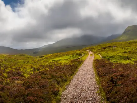
The difficulty comes from doing 19 km and about 900 m of ascent in one day, not from technical climbing. Surfaces are mostly gravel and dirt forest tracks, with rockier sections and cobbles near the top. The Brocken summit is exposed, cold, windy and often foggy, so navigation and layers matter even in good seasons. Winter conditions are serious, and wild camping is prohibited in the national park.
HikeList Score
Brocken Circuit scored 80/100 on HikeList's trail-quality metrics.
See score breakdownHide breakdown
- Ideal length 55
- Balanced challenge 80
- Scenery & wildness 98
- Varied terrain 71
- Accommodation 75
- Food & support 88
- Path quality 98
- Season flexibility 89
Computed from length, challenge, scenery & wildness, terrain variety, accommodation, food & support, path quality and season flexibility.
 Germany
Show more data Show less
- Mountainous
- Forest
- Gravel
- Dirt
- Rocky
- Hotels
- Huts
- Campsites
- Family Friendly
- Pet Friendly
- Restrooms
- Water Sources
- Campsites
- Shelters
- Picnic Areas
Photos from hikers
Taken on the trail by people who've reviewed Brocken Circuit.
Reviews
How would you rate Brocken Circuit?
Tap a star to start your review — you could be the first.