Senda Costera de Cantabria
How would you rate Senda Costera de Cantabria?
Tap a star to share your experience and help other hikers.
Senda Costera de Cantabria: Coastal Paths, Not One Trail
HikeList Score
Senda Costera de Cantabria scored 85/100 on HikeList's trail-quality metrics.
See score breakdownHide breakdown
- Ideal length 66
- Balanced challenge 100
- Scenery & wildness 68
- Varied terrain 100
- Accommodation 100
- Food & support 88
- Path quality 89
- Season flexibility 89
Computed from length, challenge, scenery & wildness, terrain variety, accommodation, food & support, path quality and season flexibility.
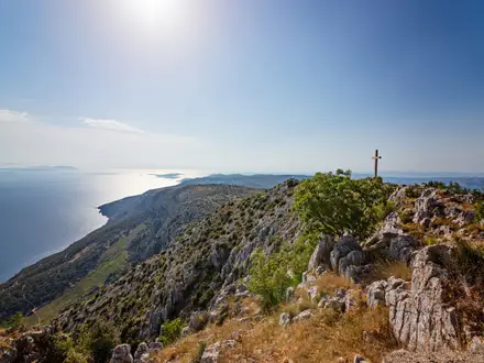
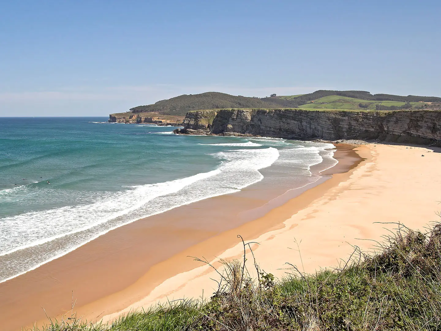
The Senda Costera de Cantabria is best understood as a network of coastal paths in Cantabria, northern Spain, not one continuous named long-distance trail. Individual signposted sections usually run about 6–25km, while the whole Cantabrian coast spans roughly 280km if linked end to end. Most walks are easy to moderate: low-altitude clifftops, beaches, dunes, dirt paths, rocky edges and short climbs. It suits hikers building flexible half-day, full-day or multi-day coastal itineraries rather than following a fixed 45km route.
Route Overview
There is no official single start, finish or direction for the Senda Costera de Cantabria. Plan it section by section from coastal towns such as Santander, Somo, Galizano, Laredo, Castro Urdiales and Prellezo. Verified component routes include the roughly 20km Costa Quebrada between the Magdalena Peninsula and Cuchía, the about 10km Senda Costera de Prellezo (PR/S 252), the roughly 25km Castro Urdiales–Laredo Senda del Litoral stage, and the Galizano–Somo / Langre clifftops. Many stretches overlap the Camino del Norte in Cantabria or the wider Camino del Norte. For logistics, choose your coastal bases first; transport details depend on the section selected.
A Maritime and Pilgrim Coast
Cantabria’s coast has long been a working maritime corridor for fishing communities, traders and pilgrims. Much of today’s coastal walking either follows or runs close to the medieval Camino del Norte, the Northern Way to Santiago de Compostela. Lighthouses, harbours and watchpoints mark that seafaring history; Faro de Cabo Mayor, first lit in 1839, is one of the clearest landmarks for walkers approaching Santander’s coast.
Notable highlights
- Costa Quebrada UNESCO Global Geopark: The “broken coast” between Liencres and Santander is known for sea stacks, rock arches and exposed geology around 240 million years old. It was designated a UNESCO Global Geopark in 2025.
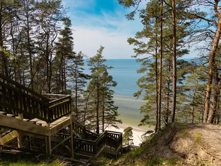
- Dunas de Liencres Natural Park: A protected dune system and pine forest at the mouth of the River Pas. It gives hikers a clear change from clifftop grass to sand, dunes and estuary scenery.
- Playa de Langre: A broad, cliff-framed sandy beach on the Trasmiera coast east of Somo. The Galizano clifftop approach is one of the area’s classic coastal walking sections.
- Faro de Cabo Mayor: Santander’s principal lighthouse stands above the entrance to the Bay of Santander. Part of the lighthouse now functions as an art centre.
- La Magdalena Palace: An early-20th-century former royal summer residence on a parkland peninsula above Santander bay. It is a useful landmark on walks around the city’s coast.
- Castro Urdiales: A historic harbour town in eastern Cantabria with a Gothic church and castle-lighthouse. It is commonly used as a terminus for eastern coastal stages.
Challenges to expect
The walking is low altitude, but do not treat it as flat promenade. Expect repeated short climbs over headlands, uneven rocky cliff-edge ground, sand near beaches and dunes, and some lanes or town sections. The Cantabrian coast is wet and windy year-round, with changeable Atlantic weather. Navigation also needs attention because this is a network of separate sendas, not one continuous waymarked trail.
HikeList Score
Senda Costera de Cantabria scored 85/100 on HikeList's trail-quality metrics.
See score breakdownHide breakdown
- Ideal length 66
- Balanced challenge 100
- Scenery & wildness 68
- Varied terrain 100
- Accommodation 100
- Food & support 88
- Path quality 89
- Season flexibility 89
Computed from length, challenge, scenery & wildness, terrain variety, accommodation, food & support, path quality and season flexibility.
 Spain
SpainShow more data Show less
- Coastal
- Clifftop
- Dunes
- Beach
- Grass
- Dirt
- Gravel
- Rocky
- Sand
- Paved
- Hotels
- Guesthouses
- Hostels
- Campsites
- Family Friendly
- Pet Friendly
- Restrooms
- Water Sources
- Campsites
- Picnic Areas
Photos from hikers
Taken on the trail by people who've reviewed Senda Costera de Cantabria.
Reviews
How would you rate Senda Costera de Cantabria?
Tap a star to start your review — you could be the first.