GR100 (Silver Route)
How would you rate GR100 (Silver Route)?
Tap a star to share your experience and help other hikers.
GR100 (Silver Route): Seville to Astorga on the Vía de la Plata
HikeList Score
GR100 (Silver Route) scored 78/100 on HikeList's trail-quality metrics.
See score breakdownHide breakdown
- Ideal length 56
- Balanced challenge 80
- Scenery & wildness 58
- Varied terrain 100
- Accommodation 100
- Food & support 88
- Path quality 89
- Season flexibility 76
Computed from length, challenge, scenery & wildness, terrain variety, accommodation, food & support, path quality and season flexibility.
The GR100, or Silver Route, is a 705 km point-to-point long-distance trail across western Spain, following the Vía de la Plata from Seville to Astorga. Allow about 30 days. It is a hard walk: not technically difficult, but demanding because of long stages, exposed plains, sparse water and extreme summer heat. It suits experienced long-distance walkers and Camino hikers who want a quieter, more historical alternative to the Camino Francés.
Route Overview
Walked south to north, the GR100 starts in Seville, crosses Andalusia and Extremadura, then enters Castile and León before ending at Astorga. Key places on the line include Zafra, Mérida, Cáceres, Plasencia, Baños de Montemayor, Hervás, Béjar, Salamanca, Zamora and Benavente. From Granja de Moreruela the pilgrim route splits: walkers going to Santiago take the Camino Sanabrés west, while the classic Vía de la Plata / GR100 continues north to Astorga. Compared with busier Camino routes such as the Camino del Norte or Camino Primitivo, the GR100 has wider spacing between towns and needs more careful stage planning.
Roman road, droving route and Camino variant
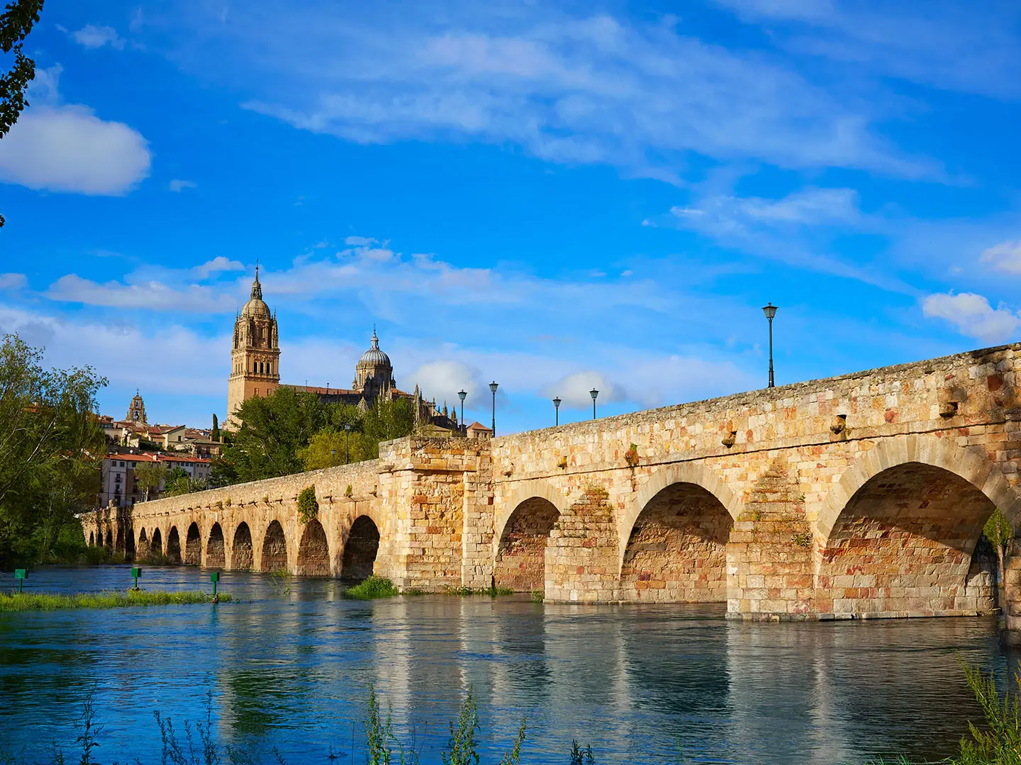
The Vía de la Plata was built by the Romans as a paved military and commercial highway linking Emerita Augusta, modern Mérida, with the south near Seville and the north at Asturica Augusta, modern Astorga. It became one of the major routes of Roman Hispania and is still marked by Roman remains including bridges, milestones and old towns. Later it developed as a medieval droving route and an alternative Camino de Santiago. The name “Plata” is widely held to derive from Arabic “al-balat”, meaning paved or cobbled road, rather than silver trade.
Notable highlights
- Mérida: Founded as Emerita Augusta in 25 BC, this Roman city is a UNESCO World Heritage Site. The route passes close to major Roman remains including the theatre and amphitheatre complex, bridge and aqueduct.
- Cáceres old town: A UNESCO-listed walled centre with Roman, Moorish, Gothic and Renaissance layers. It is one of the most atmospheric urban stops on the Extremadura section.
- Cáparra Roman arch: A rare four-sided Roman triumphal arch near Oliva de Plasencia, standing on the line of the abandoned Roman town of Cáparra. The path passes directly through it.
- Calzada de Béjar: A preserved section of original Roman paved road climbing through the Sierra de Béjar in Salamanca province. It is one of the clearest places to feel the ancient calzada underfoot.
- Salamanca: A UNESCO World Heritage university city known for golden sandstone architecture, the Plaza Mayor, two adjoining cathedrals and its historic university.
- Astorga: The northern terminus of the GR100 and the Roman Asturica Augusta. Hikers finish among Roman remains, a Gothic cathedral and the Episcopal Palace designed by Antoni Gaudí.
Challenges to expect
Expect endurance rather than technical scrambling. Daily stages are often long, with 25–35 km days and some 20 km-plus stretches without villages or water. Much of the route crosses open dehesa, cereal plains and quiet rural tracks with little shade. Mid-summer heat in Extremadura and Castile can reach 40–45°C, so spring and autumn are safer. Waymarking is usually straightforward, but some agricultural sections are sparsely marked.
HikeList Score
GR100 (Silver Route) scored 78/100 on HikeList's trail-quality metrics.
See score breakdownHide breakdown
- Ideal length 56
- Balanced challenge 80
- Scenery & wildness 58
- Varied terrain 100
- Accommodation 100
- Food & support 88
- Path quality 89
- Season flexibility 76
Computed from length, challenge, scenery & wildness, terrain variety, accommodation, food & support, path quality and season flexibility.
 Spain
SpainShow more data Show less
- Plains
- Dehesa
- Cereal Fields
- River Valleys
- Mountain Crossings
- Paved Stone
- Dirt
- Gravel
- Cattle Drove Roads
- Asphalt
- Urban
- Albergues
- Hostels
- Pensions
- Guesthouses
- Hotels
- Family Friendly
- Pet Friendly
- Restrooms
- Water Sources
- Campsites
- Picnic Areas
In these collections
Photos from hikers
Taken on the trail by people who've reviewed GR100 (Silver Route).
Reviews
How would you rate GR100 (Silver Route)?
Tap a star to start your review — you could be the first.