Rila Monastery to Malyovitsa
How would you rate Rila Monastery to Malyovitsa?
Tap a star to share your experience and help other hikers.
Rila Monastery to Malyovitsa: Hard Rila Ridge Traverse
HikeList Score
Rila Monastery to Malyovitsa scored 76/100 on HikeList's trail-quality metrics.
See score breakdownHide breakdown
- Ideal length 59
- Balanced challenge 80
- Scenery & wildness 98
- Varied terrain 83
- Accommodation 58
- Food & support 65
- Path quality 98
- Season flexibility 76
Computed from length, challenge, scenery & wildness, terrain variety, accommodation, food & support, path quality and season flexibility.
The Rila Monastery to Malyovitsa hike is a hard point-to-point traverse in the Rila Mountains of south-western Bulgaria. It covers about 18 km from Rila Monastery to Malyovitsa Hut / Malyovitsa Ski Centre, crossing high alpine ground and topping out on Malyovitsa peak at 2,729 m. Fit hikers can do it as a long 8–10+ hour day, but many split it over 2 days with an overnight at Ivan Vazov Hut. Expect sustained climbing, rocky ridges and some scrambling near the summit.
Route Overview
Start at Rila Monastery, where there is a paid car park just west of the monastery, and climb on red-marked paths through beech and conifer forest towards Razdela and Ivan Vazov Hut at 2,300 m. From the hut the route continues onto the main Rila ridge, crossing high ground over Mount Ivan Vazov, Dodov and Mermerite before reaching Malyovitsa summit. The descent passes Lake Elena / Elenino ezero and drops to Malyovitsa Hut, with onward finish options at Malyovitsa Ski Centre. This is a point-to-point mountain route, not a loop, so plan your finish logistics accordingly. For another Bulgarian summit day, compare Cherni Vrah Summit Trail.
Rila Monastery and Bulgarian mountaineering history
Rila Monastery is Bulgaria’s largest and most revered Eastern Orthodox monastery and a UNESCO World Heritage Site. It is traditionally linked to St Ivan of Rila, a 10th-century hermit, while the present monastery complex was rebuilt in 1834–1862 after a fire; the stone Hrelyo Tower dates from 1334–35. At the other end of the traverse, Malyovitsa is closely tied to Bulgarian mountaineering: organised expeditions began here in 1921–22, and its north wall is regarded as a landmark in the birth of Bulgarian alpine climbing.
Notable highlights
Rila Monastery: Bulgaria’s most important Eastern Orthodox monastery and a UNESCO World Heritage Site. Starting here makes the hike unusual: you leave directly from one of the country’s major cultural landmarks into steep Rila forest.
Ivan Vazov Hut (2,300 m): The natural midpoint and common overnight stop, reached from the monastery in roughly 5 hours on red-marked paths. It gives a practical way to split the route before the high ridge and Malyovitsa summit.
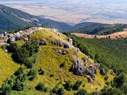
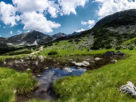
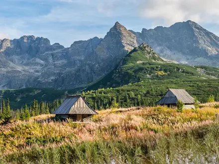
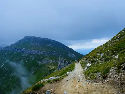
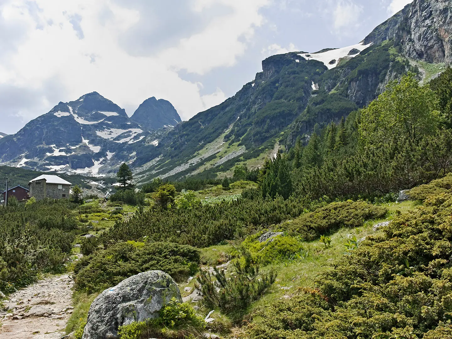
High ridge traverse: Above the treeline the route follows open alpine ground over a string of 2,600 m-plus Rila peaks. In clear weather, views extend across the Rila massif towards Musala, Bulgaria’s and the Balkans’ highest summit.
Malyovitsa peak (2,729 m): A pyramid-shaped summit regarded as the cradle of Bulgarian mountaineering. The final approach includes rocky, exposed ground and a short scramble near the summit.
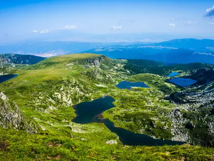
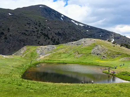
Lake Elena / Elenino ezero: A clear glacial lake in the rocky cirque on the Malyovitsa side of the ridge. It is passed on the descent towards Malyovitsa Hut.
Challenges to expect
The difficulty comes from sustained ascent, long hours and exposed alpine terrain. The monastery-to-Ivan Vazov Hut leg alone gains about 1,200 m, while the full traverse accumulates roughly 1,800–1,900 m of ascent. Higher up, expect rocky trail, weather exposure and a short scramble near Malyovitsa summit. Snow can linger outside the summer and autumn season, making the high ground hazardous. For another demanding Bulgarian ridge outing, see the Central Balkan Ridge Trail.
HikeList Score
Rila Monastery to Malyovitsa scored 76/100 on HikeList's trail-quality metrics.
See score breakdownHide breakdown
- Ideal length 59
- Balanced challenge 80
- Scenery & wildness 98
- Varied terrain 83
- Accommodation 58
- Food & support 65
- Path quality 98
- Season flexibility 76
Computed from length, challenge, scenery & wildness, terrain variety, accommodation, food & support, path quality and season flexibility.
 Bulgaria
Show more data Show less
- Mountainous
- Forest
- Alpine
- Dirt
- Rocky
- Stony
- Huts
- Wild Camping Spots
- Pet Friendly
- Water Sources
- Campsites
- Shelters
Photos from hikers
Taken on the trail by people who've reviewed Rila Monastery to Malyovitsa.
The single-day route begins at the Rila Monastery, following well-marked paths through dense forests toward Kirillova Polyana, which can serve as an initial checkpoint before the more sustained ascent. The trail next climbs steadily through wooded ravines and meadows, reaching the Ivan Vazov Hut, a convenient stop for a break or shelter. From the hut, the route transitions into open alpine terrain, traversing high ridgelines and passing glacial lakes with panoramic mountain views. The final segment navigates the dramatic Malyovishki Cirque before descending toward the Malyovitsa Hut and finishing at the main trailhead. Expect rugged, rocky paths across varied terrain, with elevation gains and spectacular scenery throughout the hike.
Reviews
How would you rate Rila Monastery to Malyovitsa?
Tap a star to start your review — you could be the first.