Kranjska Gora to Trenta Trail
How would you rate Kranjska Gora to Trenta Trail?
Tap a star to share your experience and help other hikers.
Kranjska Gora to Trenta Trail: Vršič Pass to the Soča
HikeList Score
Kranjska Gora to Trenta Trail scored 78/100 on HikeList's trail-quality metrics.
See score breakdownHide breakdown
- Ideal length 55
- Balanced challenge 80
- Scenery & wildness 85
- Varied terrain 83
- Accommodation 92
- Food & support 81
- Path quality 80
- Season flexibility 76
Computed from length, challenge, scenery & wildness, terrain variety, accommodation, food & support, path quality and season flexibility.
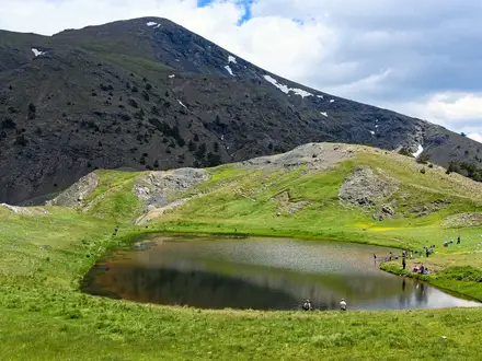
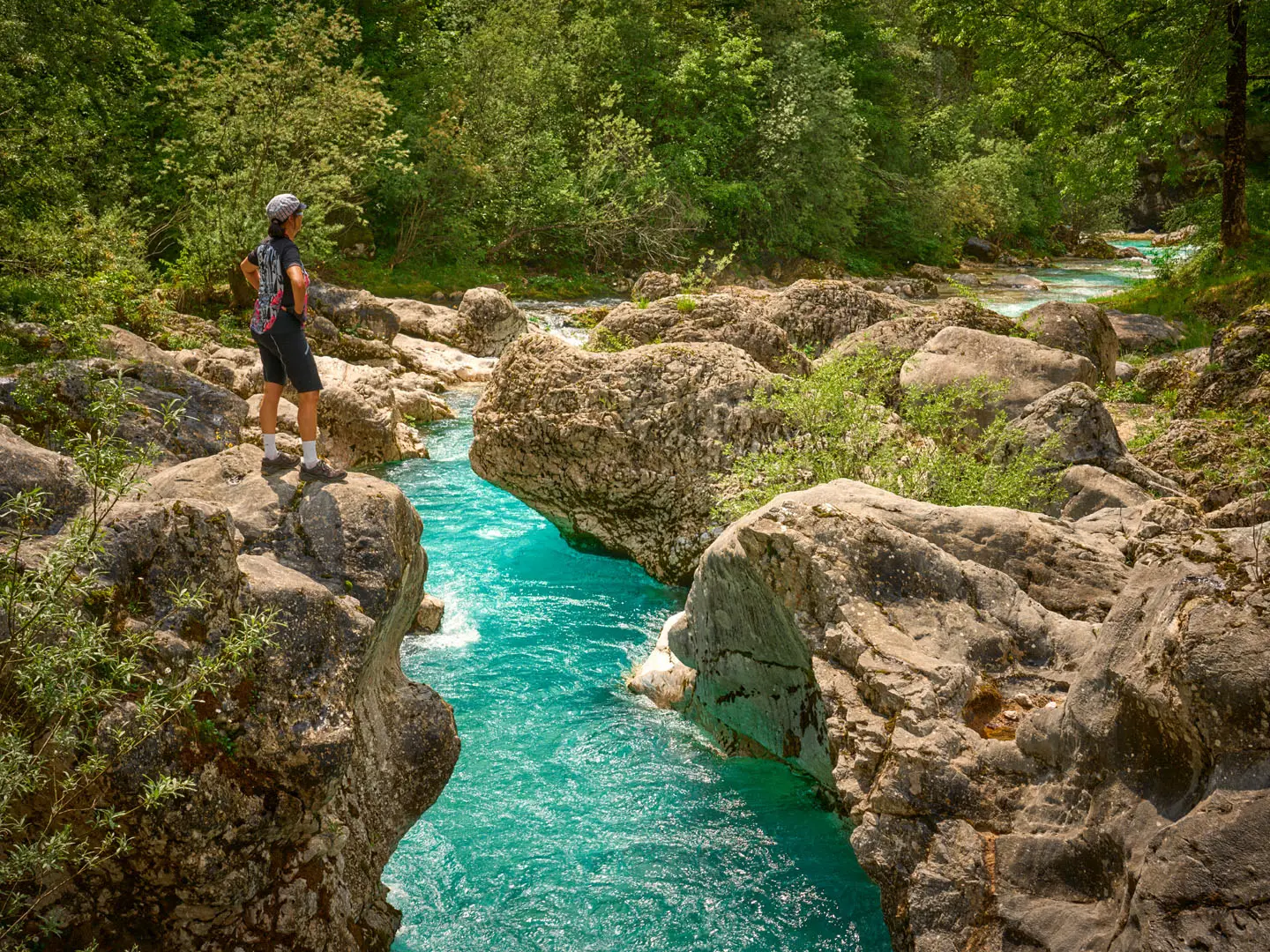
The Kranjska Gora to Trenta Trail is a hard, one-day, 17.8 km point-to-point mountain walk in north-west Slovenia. It crosses the Vršič Pass, the highest road pass in Slovenia, then descends into the Trenta valley at the head of the Soča river. This is official Stage 23 of the Alpe-Adria-Trail and suits fit hikers who want a big alpine day without technical scrambling: expect roughly 962 m of ascent, 1,146 m of descent and 6–7 hours on mountain paths, woodland tracks and quiet road-side sections.
Route Overview
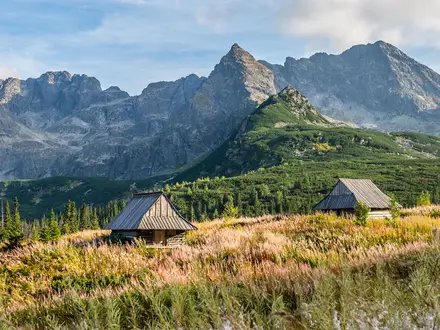
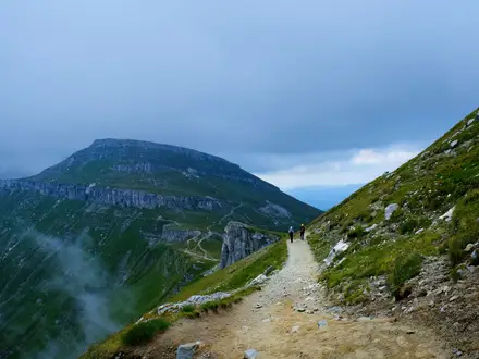
Most hikers walk south/west from Kranjska Gora, passing Lake Jasna and climbing via the Pišnica/Krnica side towards the Russian Chapel and Vršič Pass at 1,611 m. Near the top are mountain huts such as Erjavčeva koča and Tičarjev dom. From the pass, the route drops into the Trenta and Soča valley, with an optional signed detour to Izvir Soče before finishing in Trenta near Dom Trenta, the Triglav National Park Information Centre. It is a point-to-point walk; walking it in reverse is possible but gives a stiffer net climb. Summer buses over Vršič can shorten or simplify logistics. For more Julian Alps planning, compare the Bohinj to Triglav Trail and Mount Vogel Loop.
The Russian Road over Vršič
The route’s defining history is the Russian Road, or Ruska cesta. During the First World War, the Austro-Hungarian army needed a supply line to the Isonzo Front and forced Russian prisoners of war to upgrade the old route over Vršič between 1915 and 1917. In March 1916, an avalanche buried a labour camp on the northern slope, killing hundreds of prisoners and several guards. Survivors built the small Russian Orthodox chapel beside the road, which the trail passes today.
Notable highlights
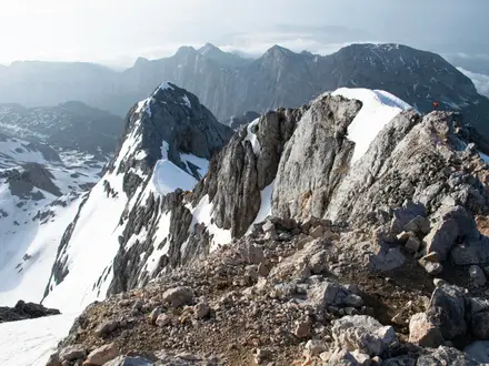
- Vršič Pass (1,611 m): The highest road pass in Slovenia and the high point of the walk. It marks the watershed between the Sava side behind you and the Soča valley ahead.
- Russian Road and its 50 hairpins: The historic First World War pass road is an engineering landmark of cobbled and tarmac switchbacks. The trail repeatedly crosses or shadows it while avoiding long tarmac sections.
- Russian Chapel (Ruska kapelica): A small wooden Orthodox chapel on the Kranjska Gora side of the pass. It commemorates Russian prisoners of war killed in the March 1916 avalanche.
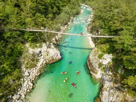
- Source of the Soča (Izvir Soče): A short, steep signed detour near Trenta leads to the karst spring where the Soča emerges from the mountainside. The final section is secured with iron pegs and a cable.
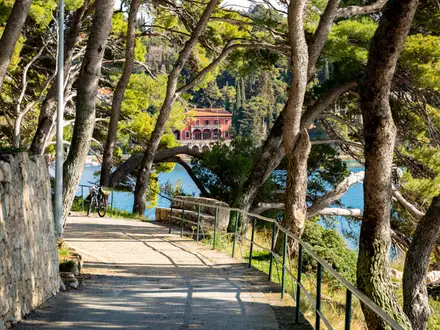
- Lake Jasna, Kranjska Gora: A pair of turquoise dammed lakes on the edge of Kranjska Gora, often used as the early landmark for the stage. The Zlatorog statue on the shore is a well-known local symbol.
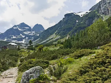
- Trenta valley and Triglav National Park: The descent ends in the steep-sided upper Soča valley inside Triglav National Park. Dom Trenta gives useful context on the valley, shepherding and early Alpine exploration.
Challenges to expect
The trail is non-technical, but the day is strenuous: about 18 km, 962 m of ascent and a long 1,146 m descent. Weather can change quickly around Vršič, and snow makes the pass hazardous outside the main season. Waymarking is good, with Alpe-Adria-Trail and Knafelc marks, but carry a map or GPS. Resupply is mainly at Kranjska Gora, the pass huts and Trenta. For gentler valley walking, see the Logar Valley Panoramic Trail or Kamniška Bistrica Valley Trail.
HikeList Score
Kranjska Gora to Trenta Trail scored 78/100 on HikeList's trail-quality metrics.
See score breakdownHide breakdown
- Ideal length 55
- Balanced challenge 80
- Scenery & wildness 85
- Varied terrain 83
- Accommodation 92
- Food & support 81
- Path quality 80
- Season flexibility 76
Computed from length, challenge, scenery & wildness, terrain variety, accommodation, food & support, path quality and season flexibility.
 Slovenia
Show more data Show less
- Mountains
- Forest
- River Valley
- Dirt
- Gravel
- Paved
- Hotels
- Hostels
- Mountain Huts
- Campsites
- Pet Friendly
- Water Sources
- Campsites
- Shelters
Photos from hikers
Taken on the trail by people who've reviewed Kranjska Gora to Trenta Trail.
Reviews
How would you rate Kranjska Gora to Trenta Trail?
Tap a star to start your review — you could be the first.