Ásbyrgi to Dettifoss Trail
How would you rate Ásbyrgi to Dettifoss Trail?
Tap a star to share your experience and help other hikers.
Ásbyrgi to Dettifoss Trail: Canyon Trek to Europe’s Most Powerful Waterfall
HikeList Score
Ásbyrgi to Dettifoss Trail scored 78/100 on HikeList's trail-quality metrics.
See score breakdownHide breakdown
- Ideal length 63
- Balanced challenge 100
- Scenery & wildness 85
- Varied terrain 83
- Accommodation 58
- Food & support 72
- Path quality 98
- Season flexibility 63
Computed from length, challenge, scenery & wildness, terrain variety, accommodation, food & support, path quality and season flexibility.
The Ásbyrgi to Dettifoss Trail is a 32 km, two-day point-to-point trek through Jökulsárgljúfur in Vatnajökull National Park, north-east Iceland. It follows the glacial Jökulsá á Fjöllum upstream from the wooded horseshoe canyon of Ásbyrgi to Dettifoss. The difficulty is moderate: the ascent is modest, but the route is remote, self-supported, has one cold river wade and includes a short fixed-rope scramble. It suits hikers wanting a compact Icelandic backcountry route with major canyon scenery.
Route Overview
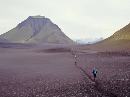
Most hikers walk south from the Gljúfrastofa visitor centre at Ásbyrgi to Dettifoss, finishing at the waterfalls, though the route can be walked either way. The standard overnight is at Vesturdalur, near Hljóðaklettar, after roughly 12 km. Day two continues via Hólmatungur, the Stallá river crossing, Hafragil and Hafragilsfoss before reaching Dettifoss, with Selfoss just upstream. This is a one-way trail: both trailheads are road-accessed, but there is no public transport link between them, so arrange a shuttle or two-car drop. For other volcanic Iceland routes, compare the Hverfjall Crater Loop and the more remote Askja Trail.
Jökulsárgljúfur: Floods, Volcanoes and National Park History
Jökulsárgljúfur was carved by jökulhlaups — catastrophic glacial outburst floods — on the Jökulsá á Fjöllum, which drains the Vatnajökull icecap. The route’s volcanic features, including Hljóðaklettar and Rauðhólar, are remnants of a crater row that erupted around 9,000 years ago and was later stripped by floods. Ásbyrgi also has a strong place in Icelandic folklore as Sleipnir’s hoofprint. The area became Jökulsárgljúfur National Park in 1973 and joined Vatnajökull National Park in 2008.
Notable highlights
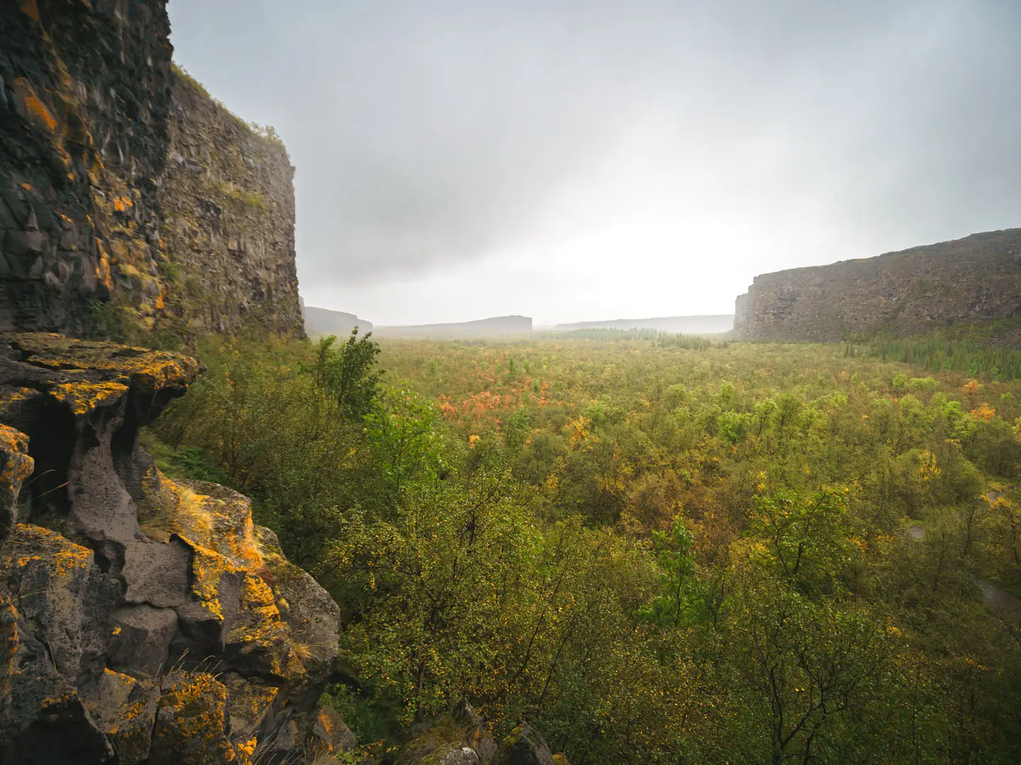
- Ásbyrgi: A vast horseshoe-shaped canyon up to 100 m deep, with birch woodland and the wooded island of Eyjan. It is both a major geological feature and a site tied to the Sleipnir hoofprint legend.
- Hljóðaklettar (Echo Rocks): Basalt columns and caves formed from eroded volcanic plugs. The formations amplify the sound of the Jökulsá á Fjöllum, giving the area its name.
- Rauðhólar: Red scoria cones near Vesturdalur, linked to the same volcanic fissure system as Hljóðaklettar. They add a vivid volcanic contrast to the canyon landscape.
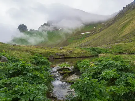
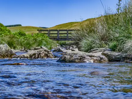
- Hólmatungur: The greenest section of the canyon, with spring-fed streams, waterfalls and lush vegetation. It feels markedly different from the gravel plains closer to Dettifoss.
- Hafragilsfoss: A powerful waterfall in the deeper part of the gorge, seen from the rim. The surrounding canyon walls show exposed geological layers.
- Dettifoss and Selfoss: Dettifoss is reputed to be Europe’s most powerful waterfall by volume, about 100 m wide and 45 m high. Selfoss lies just upstream and is commonly visited at the end of the trek.
Challenges to expect
Expect a remote, self-supported walk rather than technical mountain terrain. There are no huts, shops or resupply points on the route, and camping is restricted to designated park campsites. The Stallá must be waded between Vesturdalur and Hólmatungur, and day one includes a short fixed-rope scramble. Weather can be cold outside the summer season, and Dettifoss access roads may become impassable. For a different kind of remote Icelandic trek, see the Hornstrandir Trek.
HikeList Score
Ásbyrgi to Dettifoss Trail scored 78/100 on HikeList's trail-quality metrics.
See score breakdownHide breakdown
- Ideal length 63
- Balanced challenge 100
- Scenery & wildness 85
- Varied terrain 83
- Accommodation 58
- Food & support 72
- Path quality 98
- Season flexibility 63
Computed from length, challenge, scenery & wildness, terrain variety, accommodation, food & support, path quality and season flexibility.
 Iceland
Show more data Show less
- Forest
- Rocky
- River
- Dirt
- Rocky
- Gravel
- Campsites
- Wild Camping Spots
- Pet Friendly
- Restrooms
- Water Sources
- Campsites
- Shelters
In these collections
Photos from hikers
Taken on the trail by people who've reviewed Ásbyrgi to Dettifoss Trail.
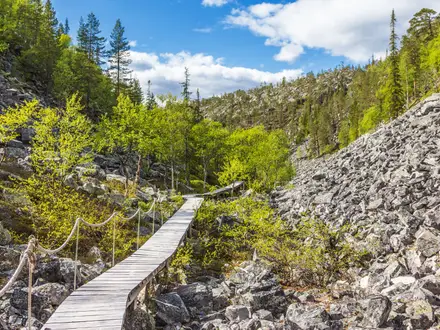
Start at the Gljúfrastofa visitor centre at Ásbyrgi and walk through the northern canyon landscape towards Vesturdalur, the usual overnight campsite near Hljóðaklettar. This stage includes birch woodland, canyon terrain and a short scramble aided by a fixed rope.
Continue from Vesturdalur to Hólmatungur, then onwards towards Dettifoss via the Stallá river crossing, Hafragil and Hafragilsfoss. The route finishes at Dettifoss, with Selfoss just upstream as a short add-on before arranging onward road transport.
Reviews
How would you rate Ásbyrgi to Dettifoss Trail?
Tap a star to start your review — you could be the first.