Poloniny National Park Trail
How would you rate Poloniny National Park Trail?
Tap a star to share your experience and help other hikers.
Poloniny National Park Trail: Kremenec Day Hike
HikeList Score
Poloniny National Park Trail scored 79/100 on HikeList's trail-quality metrics.
See score breakdownHide breakdown
- Ideal length 55
- Balanced challenge 100
- Scenery & wildness 98
- Varied terrain 64
- Accommodation 57
- Food & support 81
- Path quality 98
- Season flexibility 89
Computed from length, challenge, scenery & wildness, terrain variety, accommodation, food & support, path quality and season flexibility.
The Poloniny National Park Trail is best understood as the Kremenec day hike from Nová Sedlica, Slovakia’s easternmost village, not a separate long-distance route. This moderate 21 km loop climbs about 960 m through Stužica primeval forest to Kremenec, the park’s 1221 m high point, with a short detour to the Slovakia-Poland-Ukraine tripoint. It suits fit hikers who want a remote, forested mountain day in eastern Slovakia, with simple waymarking but sustained climbing.
Route Overview
The standard circuit starts and ends in Nová Sedlica. From the village, the route follows the Slovak red stripe into Stužica, a UNESCO-listed beech-fir reserve, then climbs steeply to Kremenec summit. The marble tripoint monument, marking where Slovakia, Poland and Ukraine meet, is about 200 m from the summit at 1208 m. The usual loop then follows the border ridge on blue-marked trail towards Čierťaž before returning to Nová Sedlica via green/blue markings. A shorter option is an out-and-back on the red trail, roughly 9 km each way. Services are limited, so treat Nová Sedlica as the logistics base.
Protected forests, bison and dark skies
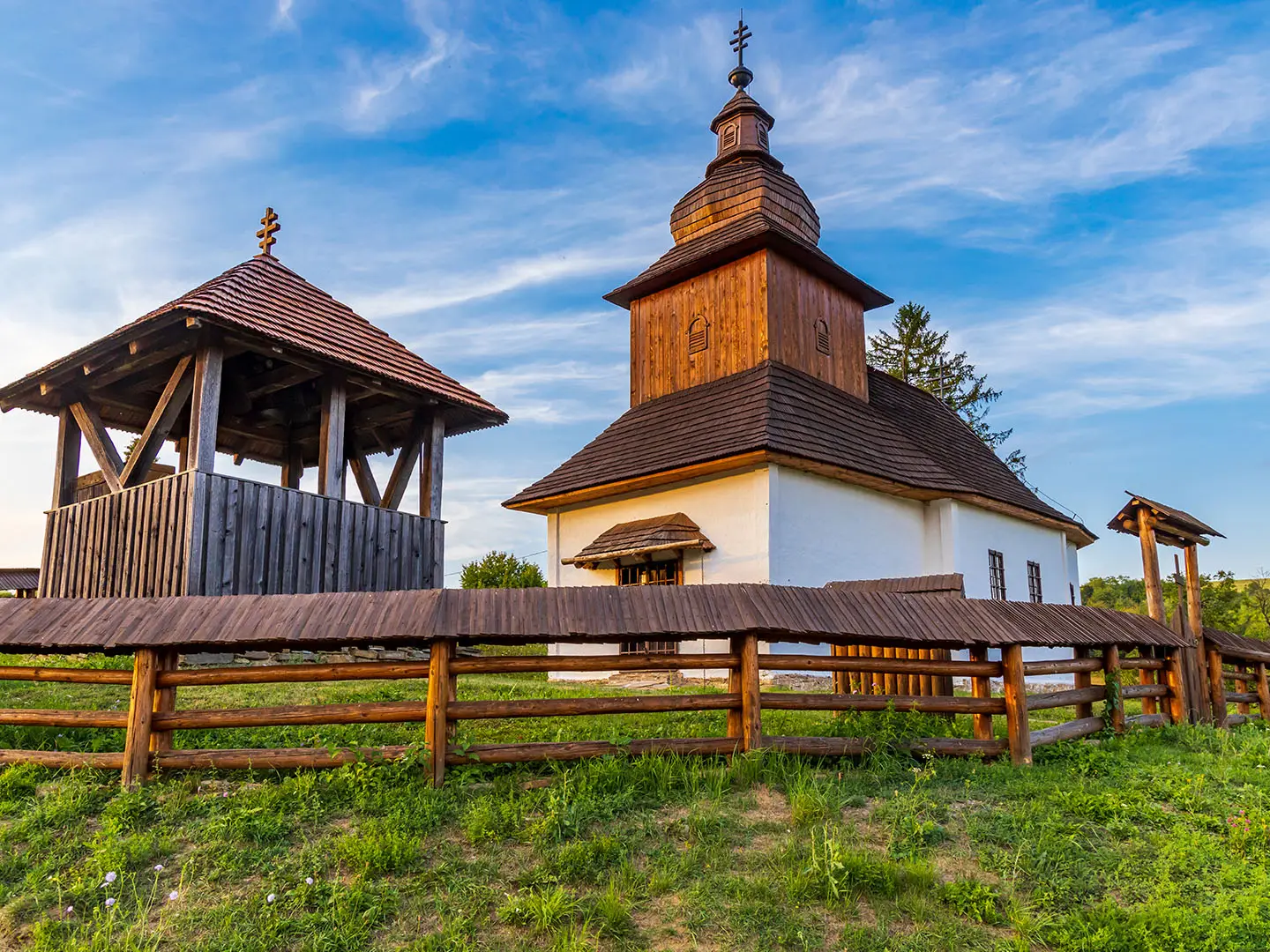
Poloniny National Park was created on 1 October 1997 in the Bukovské vrchy range of the Eastern Carpathians. Its primeval beech forests at Havešová, Stužica and Rožok were added to the UNESCO World Heritage List on 28 June 2007. European bison were reintroduced to the area in 2004, and Poloniny became Slovakia’s first Dark-Sky Park on 3 December 2010. Starina reservoir and the region’s wooden churches are important wider-area sights, but they are not on the Kremenec route.
Notable highlights
- Kremenec summit & the tripoint: Kremenec reaches 1221 m, the highest point in Poloniny National Park and the high point of the Slovak-Ukrainian border. The tripoint monument at 1208 m, about 200 m away, marks Slovakia’s easternmost point.
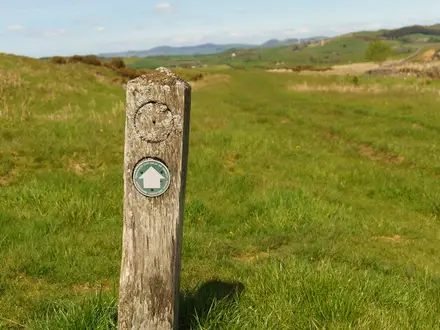
- Stužica primeval forest: The trail climbs through this UNESCO-listed old-growth beech-fir reserve. Expect a wild forest feel, with large firs, fallen trees and creek crossings.
- European bison: Wisent were reintroduced here in 2004. Poloniny is one of the few places in Slovakia with free-ranging bison, alongside lynx, wolves and brown bear.
- Dark-Sky Park: Poloniny was declared Slovakia’s first Dark-Sky Park in 2010. If you stay overnight in the area, clear nights can be excellent for stargazing.
- Nová Sedlica: The route begins in Slovakia’s easternmost village, a quiet Rusyn settlement at the end of the road into the Bukovské vrchy.
Challenges to expect
The difficulty is mainly the sustained ascent and forest terrain rather than navigation. Paths are clay, stone and dirt, and can be slippery when wet. Expect creek crossings, uneven ground, occasional fallen trees in the reserve and rockier sections near the top. The park is remote, with limited services in Nová Sedlica and nearby villages. Snow and wet shoulder-season conditions make the route harder.
HikeList Score
Poloniny National Park Trail scored 79/100 on HikeList's trail-quality metrics.
See score breakdownHide breakdown
- Ideal length 55
- Balanced challenge 100
- Scenery & wildness 98
- Varied terrain 64
- Accommodation 57
- Food & support 81
- Path quality 98
- Season flexibility 89
Computed from length, challenge, scenery & wildness, terrain variety, accommodation, food & support, path quality and season flexibility.
 Slovakia
Show more data Show less
- Mountainous
- Forest
- Dirt
- Rocky
- Guesthouses
- Family Friendly
- Pet Friendly
- Water Sources
- Campsites
- Shelters
Photos from hikers
Taken on the trail by people who've reviewed Poloniny National Park Trail.
Reviews
How would you rate Poloniny National Park Trail?
Tap a star to start your review — you could be the first.