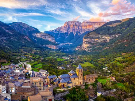
Dørålseter to Bjørnhollia
How would you rate Dørålseter to Bjørnhollia?
Tap a star to share your experience and help other hikers.
Dørålseter to Bjørnhollia: Rondane Hut-to-Hut Stage
HikeList Score
Dørålseter to Bjørnhollia scored 75/100 on HikeList's trail-quality metrics.
See score breakdownHide breakdown
- Ideal length 55
- Balanced challenge 84
- Scenery & wildness 98
- Varied terrain 71
- Accommodation 49
- Food & support 72
- Path quality 98
- Season flexibility 76
Computed from length, challenge, scenery & wildness, terrain variety, accommodation, food & support, path quality and season flexibility.
Dørålseter to Bjørnhollia is a hard 21 km, 1-day hut-to-hut walk in Rondane National Park, Innlandet, eastern Norway. It is one leg of the classic Rondane Triangle linking Rondvassbu, Dørålseter and Bjørnhollia. The standard Langglupdalen route takes about 7 hours and suits fit hikers comfortable with long, stony mountain terrain, exposed weather and cairn-marked navigation. A shorter but much steeper alpine alternative crosses Høgronden and is only for experienced, sure-footed walkers.
Route Overview
This is a point-to-point DNT lodge stage from Dørålseter to Bjørnhollia. The standard route heads north beside the Døråi, crosses the river after about 1 km, then traverses the broad, stony Bergedalen west of Digerronden. It turns south-east between Rondslottet and Midtronden to the Langglupdalen watershed, before descending the narrow valley between Rondane’s highest summits. After a scenic river bridge, the path skirts Veslesvulten above the forest line and joins a gravel road for the final roughly 1 km to Bjørnhollia. For other Norwegian mountain planning, compare Besseggen Ridge, the Dovrefjell-Sunndalsfjella Trail and the Hardangervidda Traverse.
Rondane: Norway’s First National Park
Rondane was established as Norway’s first national park on 21 December 1962, then enlarged in 2003 from 580 to 963 km² largely to protect wild reindeer. The mountains also have a strong cultural place in Norway: Henrik Ibsen set part of Peer Gynt here in 1867, helping make Rondane a national symbol. Ancient reindeer-trapping systems in the area date back as far as about 3,500 years.
Notable highlights
- Langglupdalen valley: The scenic crux of the standard route, this narrow glacial valley runs between Rondslottet and Storronden to the south and Høgronden, Midtronden and Digerronden to the north.
- Rondslottet and Storronden views: The path passes beneath the north face of Rondslottet (2,178 m), Rondane’s highest peak, with Storronden (2,138 m) nearby.
- Høgronden alpine alternative: Experienced hikers can take the high route over Høgronden (2,114 m), trading the valley line for around 1,100–1,180 m of ascent and a much more demanding day.
- Wild reindeer country: Rondane is one of the few areas in Europe with genuinely wild reindeer, with roughly 2,000–4,000 across Rondane and Dovre; seasonal lodge closures help protect calving.
- Bjørnhollia lodge: This staffed DNT lodge at the eastern rim of the park retains the character of its old seter, or mountain summer farm, and offers meals and beds after the crossing.
Challenges to expect
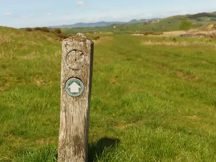
Expect a long mountain day on rock, gravel, dirt path and glacial moraine, with possible lingering snow early or late in the season. The standard Langglupdalen route is mostly non-technical but remote, stony and exposed to fast-changing weather. Summer waymarking is by cairns; spring marking uses twig poles. The Høgronden alternative is significantly harder and requires alpine experience and sure-footedness.
HikeList Score
Dørålseter to Bjørnhollia scored 75/100 on HikeList's trail-quality metrics.
See score breakdownHide breakdown
- Ideal length 55
- Balanced challenge 84
- Scenery & wildness 98
- Varied terrain 71
- Accommodation 49
- Food & support 72
- Path quality 98
- Season flexibility 76
Computed from length, challenge, scenery & wildness, terrain variety, accommodation, food & support, path quality and season flexibility.
 Norway
Show more data Show less
- Mountainous
- Forest
- Rocky
- Gravel
- Dirt
- Huts
- Family Friendly
- Pet Friendly
- Restrooms
- Water Sources
- Campsites
- Shelters
Photos from hikers
Taken on the trail by people who've reviewed Dørålseter to Bjørnhollia.
Leave Dørålseter, follow the Døråi north and cross it after about 1 km. Continue through Bergedalen west of Digerronden, then climb south-east between Rondslottet and Midtronden to the Langglupdalen watershed, roughly 1,425 m. Descend the narrow Langglupdalen valley, cross the river bridge, skirt Veslesvulten above the forest line and follow the final roughly 1 km of gravel road to Bjørnhollia.
Reviews
How would you rate Dørålseter to Bjørnhollia?
Tap a star to start your review — you could be the first.