Askja Trail
How would you rate Askja Trail?
Tap a star to share your experience and help other hikers.
Askja Trail: A Complete Oskjuvegur Hiking Guide
HikeList Score
Askja Trail scored 83/100 on HikeList's trail-quality metrics.
See score breakdownHide breakdown
- Ideal length 81
- Balanced challenge 80
- Scenery & wildness 98
- Varied terrain 100
- Accommodation 58
- Food & support 72
- Path quality 98
- Season flexibility 76
Computed from length, challenge, scenery & wildness, terrain variety, accommodation, food & support, path quality and season flexibility.
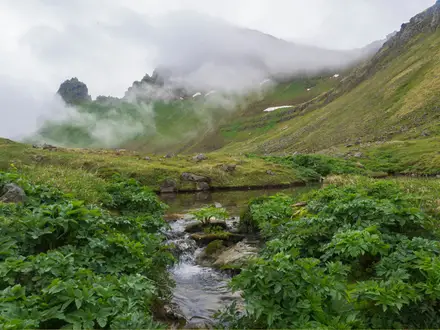
The Askja Trail, also called Oskjuvegur or Oskjuvegurinn, is a 100 km hut-to-hut trek across Odadahraun in the central-northern highlands of Iceland, usually walked in 4–5 days. This hard, point-to-point route links Herdubreidarlindir with Svartarkot, passing close to the Askja caldera at Dreki / Drekagil. It suits experienced, self-sufficient hikers comfortable with lava, black sand, scarce water, unmarked sections and sudden highland storms. For shorter volcanic walking, compare the Hverfjall Crater Loop; for another remote Iceland trek, see the Hornstrandir Trek.
Route Overview
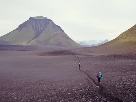
Most hikers walk west from Herdubreidarlindir, starting at Thorsteinsskali hut, though the trail can be walked either direction. The route crosses rough Odadahraun lava and sand to Braedrafell, reaches Dreki / Drekagil beside Askja, then crosses the Dyngjufjoll high ground to Dyngjufell before descending via Botnar to Svartarkot in Bardardalur. Dreki is the midpoint, not the end of the trail. This is a remote point-to-point hike, so arrange access to the start and exit from Svartarkot in advance. If you want geothermal highland walking with a shorter commitment, the Kerlingarfjöll Hot Spring Hike is a useful comparison.
Askja’s volcanic history
Askja was little known outside Iceland until the major eruption that began on 28–29 March 1875. Its rhyolitic phreatoplinian phase spread tephra across the Eastfjords, poisoned grazing land and contributed to Icelandic emigration to North America. The same eruption formed Viti crater and Oskjuvatn lake inside the Askja caldera. The area became a protected natural monument in 1978, and the Oskjuvegur trail and huts were developed by Ferdafelag Akureyrar, the Akureyri Touring Association.
Notable highlights
- Askja caldera: A vast elliptical volcanic caldera in the Dyngjufjoll mountains and the centrepiece of the trek, reached during the crossing from Dreki.
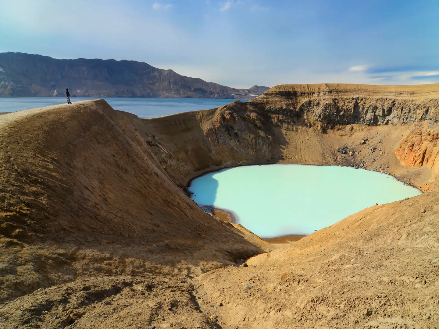
- Viti crater: A geothermal explosion crater from the 1875 eruption, with milky-blue sulphurous warm water. Some walkers bathe here, but the descent is steep and slippery.
- Oskjuvatn: Iceland’s second-deepest lake at about 217 m, formed in 1875 and filling part of the Askja caldera.
- Herdubreid: The 1,682 m flat-topped tuya known as the “Queen of Icelandic mountains”. The trail passes beneath it rather than climbing it.
- Dreki / Drekagil: The “Dragon” hut and nearby Dragon Canyon form the main FFA base near Askja, with a narrow gorge, waterfall and striking rock formations.
- Odadahraun desert: Iceland’s largest continuous lava field, a black, near-lifeless expanse that gives the route its isolation. Askja’s Moon-like terrain was also used by NASA for Apollo field-geology training.
Challenges to expect
Expect a serious highland route: rough aa and pahoehoe lava, coarse volcanic sand, pumice, gravel, lingering snow patches and a high crossing of the Dyngjufjoll massif. Waymarking is mostly by yellow or yellow/red sticks and cairns, but some sections are unmarked, so GPS and map skills are essential. There is no resupply between huts, water is scarce away from huts, and storms or blizzards can occur even in July and August.
HikeList Score
Askja Trail scored 83/100 on HikeList's trail-quality metrics.
See score breakdownHide breakdown
- Ideal length 81
- Balanced challenge 80
- Scenery & wildness 98
- Varied terrain 100
- Accommodation 58
- Food & support 72
- Path quality 98
- Season flexibility 76
Computed from length, challenge, scenery & wildness, terrain variety, accommodation, food & support, path quality and season flexibility.
 Iceland
Show more data Show less
- Volcanic
- Highland
- Desert
- Mountainous
- Lava
- Volcanic Sand
- Pumice
- Gravel
- Snow
- Huts
- Campsites
- Pet Friendly
- Restrooms
- Water Sources
- Campsites
- Shelters
Photos from hikers
Taken on the trail by people who've reviewed Askja Trail.
Start at Thorsteinsskali hut in the green spring oasis of Herdubreidarlindir and head across volcanic highland terrain towards Braedrafell hut near the south end of Kollottadyngja. FI gives this stage as 5–6 hours with about 240 m of ascent.
Continue west across Odadahraun towards Dreki / Drekagil hut beside Askja. This stage is given as 6–7 hours with about 60 m of ascent. Dreki is a key hut and the base for side-trips to Askja caldera, Viti and Oskjuvatn.
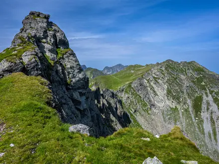
The hardest stage crosses the Askja and Dyngjufjoll high ground to Dyngjufell hut in Dyngjufjalladalur. FI gives 8–10 hours and about 500 m of ascent, with the route reaching roughly 1,300 m near the trail’s high point.
Leave Dyngjufjalladalur and continue towards Botnar hut near the source of the river Svarta. FI describes this as a 6–8 hour stage, mostly descending through remote highland terrain.
The final stage descends from Botnar to the farm of Svartarkot in Bardardalur, the western end of the Askja Trail. FI gives 5–6 hours for this stage.
Reviews
How would you rate Askja Trail?
Tap a star to start your review — you could be the first.