Hetta-Pallas Trail
How would you rate Hetta-Pallas Trail?
Tap a star to share your experience and help other hikers.
Hetta-Pallas Trail: Finland’s Classic Fell Traverse
HikeList Score
Hetta-Pallas Trail scored 80/100 on HikeList's trail-quality metrics.
See score breakdownHide breakdown
- Ideal length 74
- Balanced challenge 100
- Scenery & wildness 68
- Varied terrain 100
- Accommodation 67
- Food & support 72
- Path quality 98
- Season flexibility 76
Computed from length, challenge, scenery & wildness, terrain variety, accommodation, food & support, path quality and season flexibility.
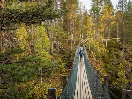
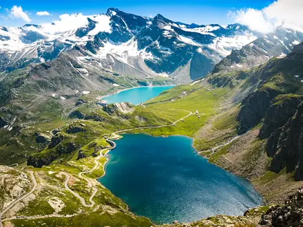
The Hetta-Pallas Trail is a 55 km point-to-point hut trek in Pallas-Yllästunturi National Park, western Finnish Lapland. It runs from Hetta in Enontekiö to the Pallastunturi fells near Muonio and usually takes 3-4 days. The walking is non-technical and waymarked, but the difficulty is moderate because long stretches cross exposed, treeless fell terrain with sustained ascents and descents. It suits hikers who want a short Lapland thru-hike with wilderness huts, open tundra, reindeer and classic Finland national-park scenery.
Route Overview
Most hikers walk north to south, starting in Hetta village with the short Lake Ounasjärvi boat crossing to reach the trailhead, then finishing at the Pallas / Pallastunturi Visitor Centre area by Lapland Hotels Pallas. The common 4-day hut-to-hut split is Hetta to Sioskuru, Sioskuru to Hannukuru, Hannukuru to Nammalakuru, then Nammalakuru to Pallas. Key places on the line include Pyhäkero, Hannukuru, Nammalakuru and the Pallas fells near Taivaskero. This is a point-to-point route, so plan onward transport from Pallas or Hetta. For other Finnish national-park walking options, compare the Oulanka National Park Trail or the shorter Nuuksio National Park Trail.
Finland’s Oldest Waymarked Hiking Trail
The Hetta-Pallas route was marked in 1934, making it the oldest marked hiking trail in Finland. The surrounding fells have also been used for centuries by the indigenous Sámi for reindeer herding, a living land use still visible on the route. Today the trail lies within Pallas-Yllästunturi National Park, created in its current form in 2005 by merging the older Pallas-Ounastunturi National Park with Ylläs-Aakenus.
Notable highlights
- Pallastunturi fells and Taivaskero (809 m): The high point of the trek and of the fell chain is near Taivaskero, with broad, open arctic views across one of Finland’s designated national landscapes.
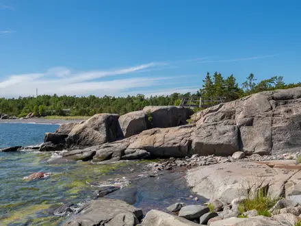
- Lake Ounasjärvi boat crossing: The Hetta end of the route begins or ends with a short boat crossing run by local operators; hikers arriving from Pallas use a signal flag to summon the boat.
- Hannukuru huts and sauna: A popular mid-route overnight stop with open and reservable huts beside a small lake, plus a wood-burning wilderness sauna.
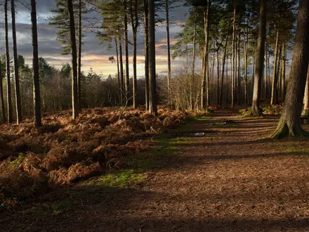
- Pyhäkero: The usual first waypoint south of Hetta, reached on a gently rising pine-forest path and often used for lunch or a first night in the open wilderness hut.
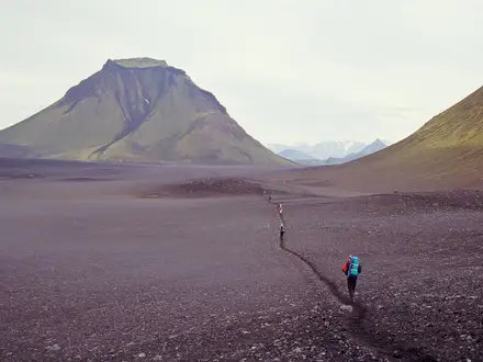
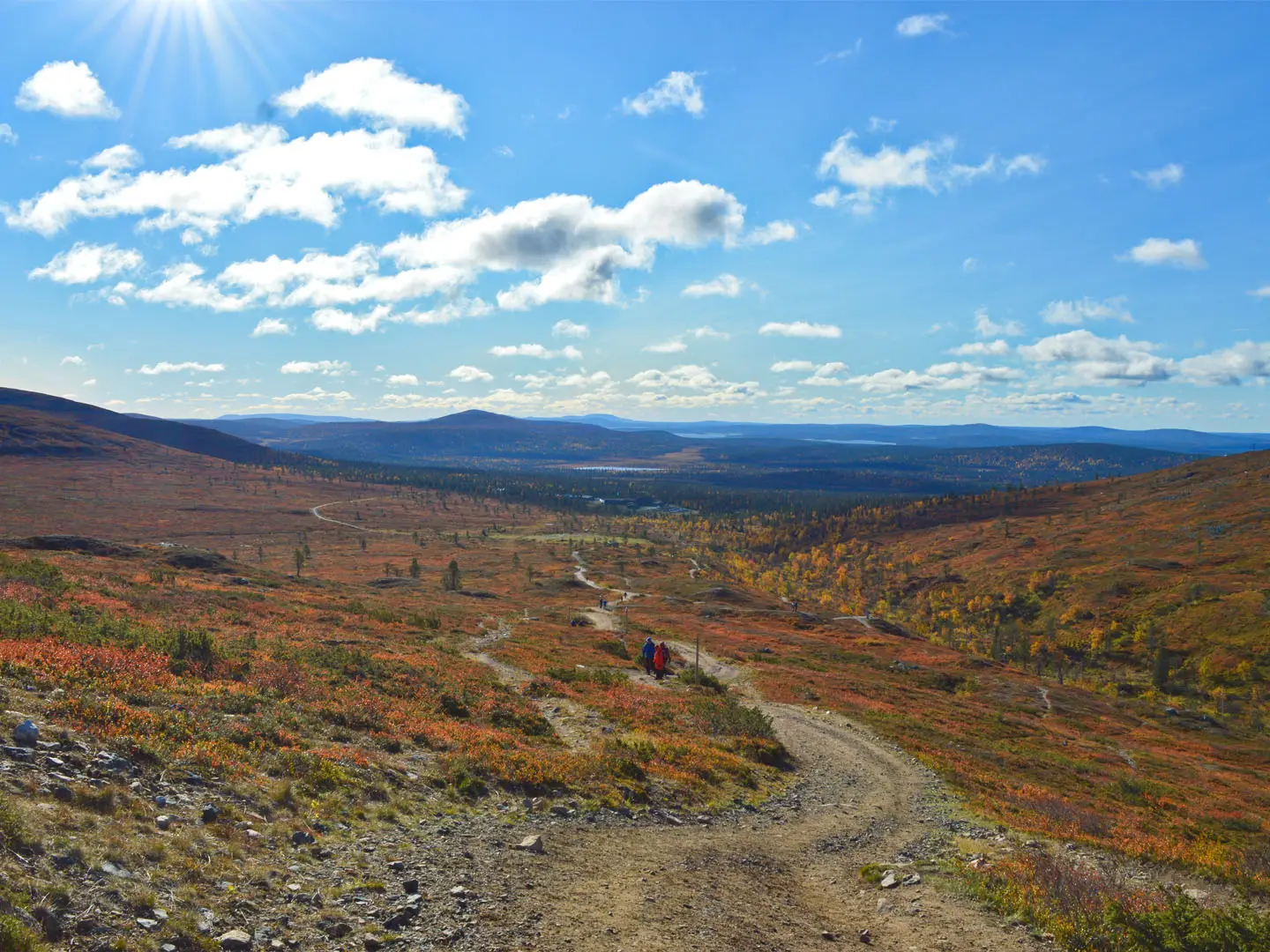
- Open fell plateaus: Around 40 km of the trail is above the treeline, crossing treeless tundra, ravines and rounded fells exposed to wind and weather.
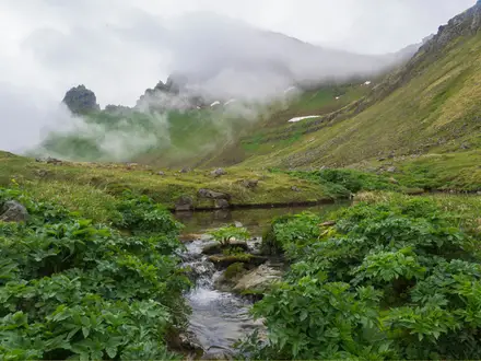
- Autumn ruska and reindeer: September brings red and gold tundra colours, and semi-domesticated reindeer herded by the Sámi are commonly seen on the fells.
Challenges to expect
The trail is waymarked and has no scrambling, but it is strenuous in places. Expect long ascents and descents, rocky fell tops, wet ground, duckboards over bogs and about 40 km above the treeline. Wind, fog and low cloud can make the exposed fells feel serious, and mobile coverage is patchy. The Lake Ounasjärvi boat crossing and hut reservations also need planning.
HikeList Score
Hetta-Pallas Trail scored 80/100 on HikeList's trail-quality metrics.
See score breakdownHide breakdown
- Ideal length 74
- Balanced challenge 100
- Scenery & wildness 68
- Varied terrain 100
- Accommodation 67
- Food & support 72
- Path quality 98
- Season flexibility 76
Computed from length, challenge, scenery & wildness, terrain variety, accommodation, food & support, path quality and season flexibility.
 Finland
Show more data Show less
- Fell
- Forest
- Mires
- Above Treeline
- Dirt
- Gravel
- Rocky
- Boardwalk
- Huts
- Campsites
- Wild Camping Spots
- Family Friendly
- Pet Friendly
- Restrooms
- Water Sources
- Campsites
- Shelters
In these collections
Photos from hikers
Taken on the trail by people who've reviewed Hetta-Pallas Trail.
Start in Hetta village, take the Lake Ounasjärvi boat crossing, then follow the marked trail south. Pyhäkero is the common lunch stop or shelter before continuing to Sioskuru, which has reservable and open hut accommodation.
Continue across the fell country towards Hannukuru. This is a popular overnight point with reservable and open huts, a small lake and a wood-burning sauna.
Walk south through exposed fell terrain to Nammalakuru. The route remains waymarked but can be harder to follow in fog or low cloud.
Finish over the Pallas fells, passing near Taivaskero, before descending to the Pallas / Pallastunturi Visitor Centre area near Lapland Hotels Pallas.
Reviews
How would you rate Hetta-Pallas Trail?
Tap a star to start your review — you could be the first.