The Sandstone Trail
How would you rate The Sandstone Trail?
Tap a star to share your experience and help other hikers.
The Sandstone Trail: A Compact Cheshire Ridge Walk
HikeList Score
The Sandstone Trail scored 85/100 on HikeList's trail-quality metrics.
See score breakdownHide breakdown
- Ideal length 66
- Balanced challenge 100
- Scenery & wildness 74
- Varied terrain 100
- Accommodation 92
- Food & support 88
- Path quality 84
- Season flexibility 100
Computed from length, challenge, scenery & wildness, terrain variety, accommodation, food & support, path quality and season flexibility.
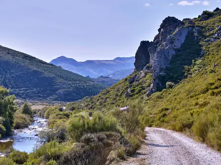
The Sandstone Trail is a 55 km (34 mile) point-to-point walk along the Mid Cheshire Ridge from Frodsham, Cheshire, to Whitchurch, Shropshire. Most hikers take 2-3 days; very fit walkers can finish it in one long day. The difficulty is moderate rather than mountainous: expect well-waymarked ridge, forest, farmland, lowland heath and canal towpath, with short steep climbs and mud after rain. It suits walkers wanting a compact long-distance trail in England with rail access at both ends.
Route Overview
The route runs north to south from Frodsham to Whitchurch, following the Cheshire Sandstone Ridge across Cheshire and into northern Shropshire. Early walking crosses Delamere Forest, then the trail continues over the wooded ridge past Beeston Castle, the Peckforton Hills, Raw Head and Bickerton Hill before reaching Grindley Brook and the Llangollen Canal towpath into Whitchurch. It is a linear walk, so rail access matters: Frodsham is on the Chester-Manchester line, while Whitchurch is served from Shrewsbury and Crewe. For alternative planning pages, compare the Beacons Way guide or the Anglesey Coastal Path guide.
History of the Sandstone Trail
The Sandstone Trail was created and officially opened in 1974 to promote countryside recreation, then extended in the 1990s to link the market towns of Frodsham and Whitchurch. The ridge itself has a much older human story: the sandstone escarpment was used from prehistory, and the route passes through a landscape marked by a chain of Iron Age hillforts. That combination of modern waymarking and ancient ridge-top sites is a big part of the trail’s character.
Notable highlights
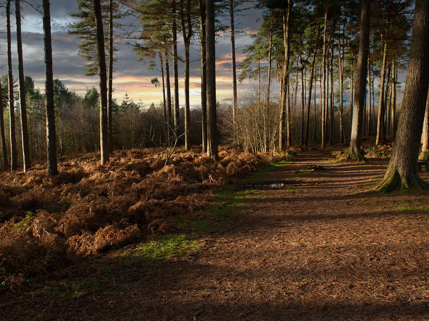
- Delamere Forest: Cheshire’s largest area of woodland and a remnant of the ancient royal hunting forests of Mara and Mondrum. The route crosses it early on, mostly on easy surfaced paths.
- Beeston Castle: A ruined medieval castle on a sandstone crag above the Cheshire Plain, begun in the 1220s by Ranulf de Blondeville. The crag also has Bronze Age and Iron Age traces and is now run by English Heritage.
- Peckforton Hills and Castle: Wooded sandstone hills beside the trail, with the 19th-century Peckforton Castle facing older Beeston Castle across the gap.
- Raw Head: The highest point of the trail at 227 m, on the ridge near Bickerton. In clear weather it gives wide views over the Cheshire Plain towards the Welsh hills.
- Maiden Castle: An Iron Age promontory hillfort on the south-east edge of Bickerton Hill. It is the southernmost of the ridge’s chain of hillforts.
- Llangollen Canal towpath: The southern approach follows the canal towpath into Whitchurch via the Grindley Brook lock staircase.
Challenges to expect
This is not a high mountain route, but it is not flat. Expect short, steep pulls onto the sandstone ridge, uneven rocky sections, crags and shaded woodland that can be muddy after rain. Navigation is usually straightforward thanks to yellow “S” waymarks, signposts, stone markers and boards. Accommodation exists along or near the route but is spread out; Tarporley is the usual two-day midpoint. Also see the Arran Coastal Way guide for another UK trip-planning comparison.
HikeList Score
The Sandstone Trail scored 85/100 on HikeList's trail-quality metrics.
See score breakdownHide breakdown
- Ideal length 66
- Balanced challenge 100
- Scenery & wildness 74
- Varied terrain 100
- Accommodation 92
- Food & support 88
- Path quality 84
- Season flexibility 100
Computed from length, challenge, scenery & wildness, terrain variety, accommodation, food & support, path quality and season flexibility.
 United Kingdom
 England
Show more data Show less
- Forest
- Ridge
- Farmland
- Lowland Heath
- Canal Towpath
- Dirt
- Rocky
- Gravel
- Paved
- Hotels
- Inns
- Bnbs
- Farmhouses
- Family Friendly
- Pet Friendly
- Restrooms
- Water Sources
- Campsites
- Picnic Areas
In these collections
Photos from hikers
Taken on the trail by people who've reviewed The Sandstone Trail.
Begin at the sandstone monument in Frodsham town centre and head south, ascending Frodsham Hill for wide views of the Mersey Valley. The route follows wooded paths and open farmland, entering the tranquil expanse of Delamere Forest with its quiet tracks and pine trees. Continue through hilltops and fields past Manley Common, crossing rolling countryside to reach the charming village of Burwardsley. This stage covers a variety of terrain, including woodland trails and open ridge walks.
From Burwardsley, the trail continues past medieval Beeston Castle perched on sandstone cliffs, then skirts the grounds of Victorian-era Peckforton Castle. Hikers traverse a mixture of open fields and wooded slopes leading to Rawhead, the trail’s highest point at 227 meters, which offers standout views of Cheshire and North Wales. The route carries on through Bulkeley Hill’s mature woods and wildflower meadows, ending near the heathery landscapes of Bickerton Hill, an area known for its wildlife and impressive escarpments.
On the final stretch, depart the heathlands and woodlands of Bickerton, following undulating paths through farmland, quiet lanes, and historical hamlets. The terrain gradually flattens as you approach Shropshire, passing through scenic country and along historic lanes before reaching the market town of Whitchurch. Here, the official Sandstone Trail endpoint marks the conclusion of your journey amid the town’s medieval streets and ancient architecture.
Reviews
How would you rate The Sandstone Trail?
Tap a star to start your review — you could be the first.