GR11 (Forests of Île-de-France)
How would you rate GR11 (Forests of Île-de-France)?
Tap a star to share your experience and help other hikers.
GR11 Forests of Île-de-France: Paris’s Long Green Loop
HikeList Score
GR11 (Forests of Île-de-France) scored 83/100 on HikeList's trail-quality metrics.
See score breakdownHide breakdown
- Ideal length 61
- Balanced challenge 100
- Scenery & wildness 68
- Varied terrain 87
- Accommodation 100
- Food & support 88
- Path quality 98
- Season flexibility 89
Computed from length, challenge, scenery & wildness, terrain variety, accommodation, food & support, path quality and season flexibility.
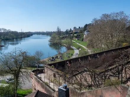
The GR 11 - Tour du Pays d'Île-de-France is a 652 km waymarked loop around Paris in France, usually walked in about 25-30 days. This is the French GR 11, not the high-mountain Spanish Pyrenees route. Expect easy terrain but a moderate overall challenge because of the distance: forest tracks, sandy paths, towpaths, farmland lanes and low river valleys through Île-de-France, Oise and Aisne. It suits hikers who want a long, rail-accessible thru-hike without alpine exposure.
Route Overview
The GR 11 is a circuit, so there is no fixed start or finish. A common option is Chantilly, used by the 25-stage gare-a-gare plan, with rail access making it easy to hike in sections. The Paris access branch starts at Pont d'Austerlitz on the left bank of the Seine. The loop links Fontainebleau and its forest, Forêt de Rambouillet, Vallée de Chevreuse, Milly-la-Forêt, Provins, Moret-sur-Loing, Chantilly, Senlis, Ermenonville, Retz, the Mantois and Vexin. Expect standard red-and-white GR waymarking. If you like château-and-town walking, compare it with the Châteaux of the Loire Circuit; for easier waterside miles, see the Burgundy Canal Towpath.
From Grand Tour de Paris to Tour du Pays d'Île-de-France
The GR 11 is part of France’s national Grande Randonnée network, managed by the FFRandonnée. It was long known as the “Grand Tour de Paris” and is now branded the “Tour du Pays d'Île-de-France”. The route deliberately links the forests, royal châteaux and historic towns of the old royal heartland around the capital. A revision in March 2009 altered the line to follow the course of the Bièvre river.
Notable highlights
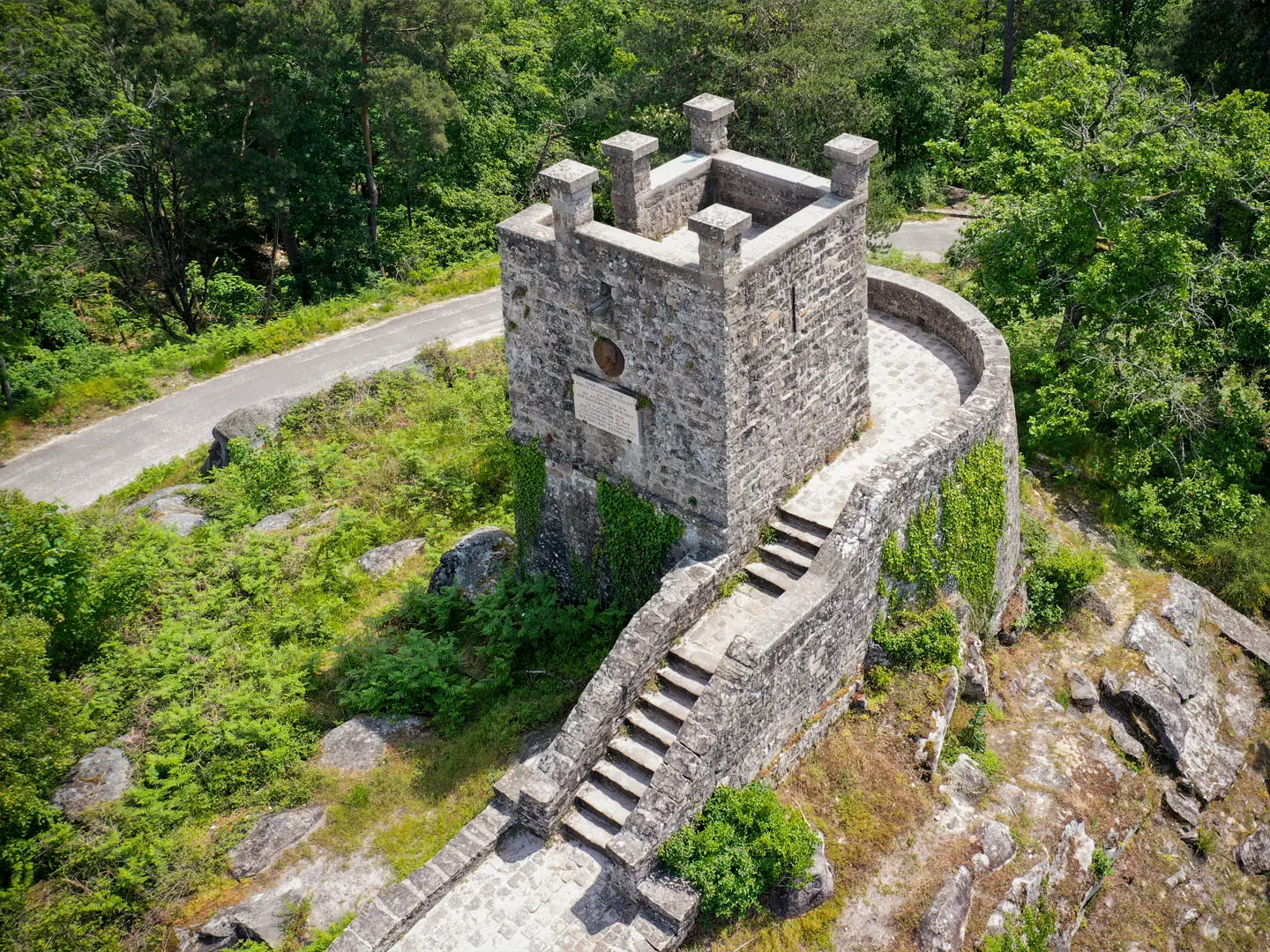
- Forêt de Fontainebleau: A UNESCO Man and the Biosphere reserve of oak, pine and beech, famous for sandstone boulders and world-class bouldering. For hikers, it gives some of the best sandy forest walking on the loop.
- Provins: A fortified UNESCO World Heritage town and former medieval Champagne fair centre. Its ramparts, tithe barn and Caesar Tower make it one of the route’s strongest historic stops.
- Château de Chantilly and Musée Condé: A grand château in the Oise with a major historic art collection. Chantilly is also a practical start and finish for a full circuit.
- Forêt de Rambouillet: A former royal hunting forest of oak and pine, with lakes including the Étangs de Hollande. It sits within the Haute Vallée de Chevreuse regional nature park.
- Moret-sur-Loing: A preserved medieval town on the Loing river, associated with Impressionist painter Alfred Sisley. It is one of the route’s most attractive river-valley stops.
- Vallée de Chevreuse / Hurepoix: A protected landscape of wooded valleys, villages and châteaux on the south-western side of the loop.
Challenges to expect
The GR 11 is not technically hard: relief is low and the highest point is around 210 m. The challenge is duration, repetitive daily distance and navigation through forests, farmland and towns. Sandy sections around Fontainebleau can be tiring; winter brings short, damp days. Accommodation and rail access are good, but wild camping is generally restricted in France. For gentler canal-style walking, compare the Berry Canal Walk.
HikeList Score
GR11 (Forests of Île-de-France) scored 83/100 on HikeList's trail-quality metrics.
See score breakdownHide breakdown
- Ideal length 61
- Balanced challenge 100
- Scenery & wildness 68
- Varied terrain 87
- Accommodation 100
- Food & support 88
- Path quality 98
- Season flexibility 89
Computed from length, challenge, scenery & wildness, terrain variety, accommodation, food & support, path quality and season flexibility.
 France
Show more data Show less
- Forest
- Farmland
- River Valleys
- Low Rolling Terrain
- Dirt
- Gravel
- Hotels
- Guesthouses
- Hostels
- Campsites
- Family Friendly
- Pet Friendly
- Restrooms
- Water Sources
- Campsites
- Picnic Areas
Photos from hikers
Taken on the trail by people who've reviewed GR11 (Forests of Île-de-France).
Reviews
How would you rate GR11 (Forests of Île-de-France)?
Tap a star to start your review — you could be the first.