Pilgrimsleden (St. Olav’s Way)
How would you rate Pilgrimsleden (St. Olav’s Way)?
Tap a star to share your experience and help other hikers.
Pilgrimsleden (St. Olav's Way): St. Olavsleden Hiking Guide
HikeList Score
Pilgrimsleden (St. Olav’s Way) scored 79/100 on HikeList's trail-quality metrics.
See score breakdownHide breakdown
- Ideal length 56
- Balanced challenge 90
- Scenery & wildness 82
- Varied terrain 94
- Accommodation 100
- Food & support 54
- Path quality 80
- Season flexibility 89
Computed from length, challenge, scenery & wildness, terrain variety, accommodation, food & support, path quality and season flexibility.
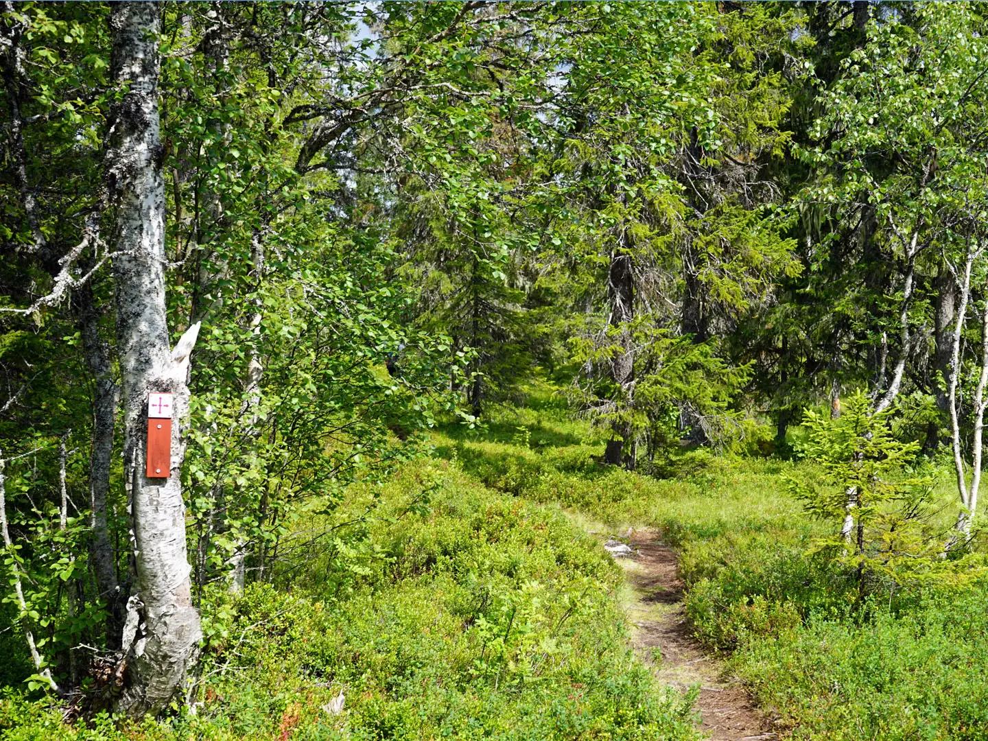
Pilgrimsleden (St. Olav's Way) here refers to St. Olavsleden: a 580 km, waymarked pilgrimage trail from Selanger near Sundsvall in Sweden to Nidaros Cathedral in Trondheim, Norway. Allow around 30 days. It is a moderate, point-to-point walk: long daily distances matter more than technical terrain, with mostly gravel, asphalt and paths through forests, farmland, lake country and a short mountain crossing. It suits hikers who want a historic inn-to-inn route rather than remote alpine trekking.
Route Overview
Most hikers walk east to west, starting at Selanger church ruins just outside Sundsvall; a marked link runs from Sundsvall Central Station to Selanger church. The route follows the Ljungan valley early on, then passes places including Borgsjö, Bräcke, Revsund, Pilgrimstad, Östersund and Frösön on Lake Storsjön, Åre, the Skalstugan border crossing, Stiklestad and Stjørdal before reaching Trondheim and Nidaros Cathedral. It is a point-to-point trail marked with the St. Olav symbol. For other Swedish long-distance options, compare the coastal Höga Kustenleden, inland Bergslagsleden or mountain-focused Abisko to Kebnekaise.
St. Olav, Selanger and the road to Nidaros
The route commemorates Olav Haraldsson, King of Norway from 1015 to 1028. Tradition says he landed at Selanger in 1030 and travelled west before being killed at the Battle of Stiklestad on 29 July 1030. After his canonisation, his shrine at Nidaros in Trondheim became a major medieval pilgrimage destination. A broadly equivalent route existed as Mittnordenleden from the 1970s, and the modern St. Olavsleden was re-established and inaugurated in 2013.
Notable highlights
- Nidaros Cathedral, Trondheim: The finish and spiritual goal of the walk, built over St. Olav's grave. It made medieval Nidaros one of Europe's major pilgrimage destinations.
- Stiklestad: The battlefield where King Olav Haraldsson was killed on 29 July 1030. For pilgrims, it is the key historical turning point of the route.
- Selanger church ruins: The Baltic-side start of the pilgrimage, linked by tradition to St. Olav's landing in 1030. The ruins give the trail a clear historic launch point.
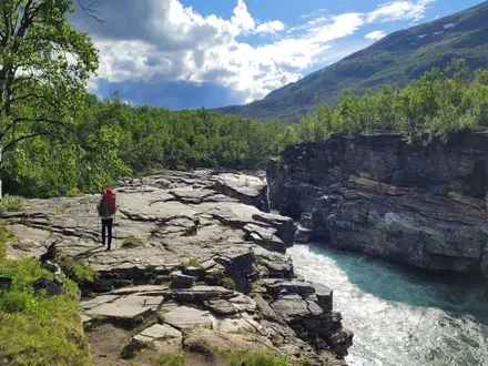
- The Skalstugan mountain crossing: The wildest section, crossing the Scandinavian range at the Sweden-Norway border around Skalstufjället. Expect sparse birch, open tundra and the trail's highest country.
- Storsjön and Frösön, Östersund: The route skirts Storsjön and crosses to Frösön, an area associated with Norse and rune-stone history roughly midway along the walk.
- Åre and Åreskutan: The trail passes through Åre, a well-known Swedish mountain resort beneath Åreskutan, before approaching the border mountains.
Challenges to expect
The main challenge is consistency: about 30 days of walking, with some daily stages reaching around 30 km. Terrain is moderate rather than technical, but the surface mix includes long stretches of gravel and asphalt, plus some wetland sections. Snow can affect the mountain section in May and September. The route is waymarked, but accommodation and resupply still need planning, especially outside the main mid-May to mid-September season.
HikeList Score
Pilgrimsleden (St. Olav’s Way) scored 79/100 on HikeList's trail-quality metrics.
See score breakdownHide breakdown
- Ideal length 56
- Balanced challenge 90
- Scenery & wildness 82
- Varied terrain 94
- Accommodation 100
- Food & support 54
- Path quality 80
- Season flexibility 89
Computed from length, challenge, scenery & wildness, terrain variety, accommodation, food & support, path quality and season flexibility.
 Sweden
Show more data Show less
- Forest
- Lakes
- Mountains
- Farmland
- River Valley
- Gravel
- Paved
- Dirt
- Hotels
- Hostels
- Guesthouses
- Mountain Stations
In these collections
Photos from hikers
Taken on the trail by people who've reviewed Pilgrimsleden (St. Olav’s Way).
Reviews
How would you rate Pilgrimsleden (St. Olav’s Way)?
Tap a star to start your review — you could be the first.