European Long-Distance Path E7
How would you rate European Long-Distance Path E7?
Tap a star to share your experience and help other hikers.
European Long-Distance Path E7: Slovenian Section Guide
HikeList Score
European Long-Distance Path E7 scored 83/100 on HikeList's trail-quality metrics.
See score breakdownHide breakdown
- Ideal length 56
- Balanced challenge 100
- Scenery & wildness 82
- Varied terrain 94
- Accommodation 92
- Food & support 81
- Path quality 80
- Season flexibility 89
Computed from length, challenge, scenery & wildness, terrain variety, accommodation, food & support, path quality and season flexibility.
The European Long-Distance Path E7 in Slovenia is a 600 km point-to-point walk from Robič on the Italian border to Hodoš on the Hungarian border. Allow about 30 days. Technically it is easy to medium, so the best label is moderate: the main challenge is sustained distance, not exposed or technical terrain. It suits experienced long-distance walkers who want a full west-to-east traverse of Slovenia, from the Soča Valley and Cerkno mountains to Prekmurje and Goričko.
Route Overview
The Slovenian E7, officially Naprudnikova pot (Naprudnik’s Trail), runs west to east. It starts at the Robič border crossing in the Soča Valley, then passes Kobarid, Tolmin, Petrovo Brdo, Porezen, Blegoš and Škofja Loka before continuing through Vrhnika, Dolenjske Toplice, Gorjanci, Krško, Podsreda, Podčetrtek, Rogaška Slatina and Rogatec. The eastern half crosses Donačka gora, Ptujska Gora, Ormož, Jeruzalem, Ljutomer, Moravske Toplice, Kančevci and Gornji Petrovci to Hodoš. For another Slovenian long-distance comparison, see the European Long-Distance Path E6, or a river-based eastern route such as the Drava River Trail.
Borders, war history and spa towns on the E7
The Slovenian E7 links several places with strong cultural and historical interest. Kobarid is associated with the WWI Isonzo Front and has a well-known museum dedicated to that period. Škofja Loka is a preserved medieval town with a hilltop castle, walled old core and the Capuchin Bridge. Farther east, Rogaška Slatina adds a spa-town chapter, known for Donat Mg mineral water and grand 19th-century pump rooms.
Notable highlights
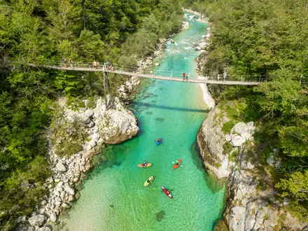
- Soča Valley and Kobarid: The route begins in the Alpine Soča Valley, following the area around the emerald Soča river. Kobarid is notable for its WWI Isonzo Front history and museum.
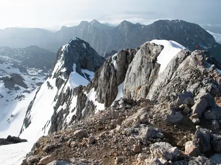
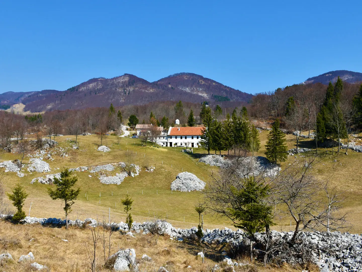
- Porezen (1,630 m): The highest point of the Slovenian E7. This grassy Cerkno summit gives wide views towards the Julian Alps and Triglav.
- Škofja Loka: One of Slovenia’s best-preserved medieval towns, with a castle above the old core, the Capuchin Bridge and walled streets.
- Rogaška Slatina: A historic spa town on the central hill section, known for Donat Mg mineral water and 19th-century pump rooms.
- Jeruzalem and the Ljutomer–Ormož wine road: Steep vineyard ridges in eastern Slovenia, among the country's most photographed wine landscapes and known for their white wines.
- Goričko and Prekmurje: The Pannonian finish crosses thermal-spa country around Moravske Toplice and the rural Goričko hills before Hodoš.
Challenges to expect
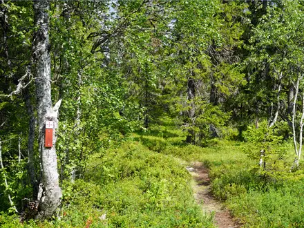
Do not underestimate the cumulative load: around 600 km and roughly 16,000 m of ascent over 30 days. The path is mostly non-technical, using forest and field paths, farm and gravel tracks and some quiet roads. Snow can linger on the higher Cerkno/Porezen sections into spring and arrive early in autumn. Waymarking is generally good, with yellow-red round marks and yellow directional arrows, but daily logistics still need planning.
HikeList Score
European Long-Distance Path E7 scored 83/100 on HikeList's trail-quality metrics.
See score breakdownHide breakdown
- Ideal length 56
- Balanced challenge 100
- Scenery & wildness 82
- Varied terrain 94
- Accommodation 92
- Food & support 81
- Path quality 80
- Season flexibility 89
Computed from length, challenge, scenery & wildness, terrain variety, accommodation, food & support, path quality and season flexibility.
 Slovenia
Show more data Show less
- Mountainous
- Hills
- Forest
- Farmland
- Lowland
- Dirt
- Gravel
- Paved
- Huts
- Guesthouses
- Hotels
- Tourist Farms
- Family Friendly
- Pet Friendly
- Water Sources
- Campsites
- Shelters
Photos from hikers
Taken on the trail by people who've reviewed European Long-Distance Path E7.
Reviews
How would you rate European Long-Distance Path E7?
Tap a star to start your review — you could be the first.