Alsace Vineyard Trail
How would you rate Alsace Vineyard Trail?
Tap a star to share your experience and help other hikers.
Alsace Vineyard Trail: Wine Villages and Vosges Foothills
HikeList Score
Alsace Vineyard Trail scored 81/100 on HikeList's trail-quality metrics.
See score breakdownHide breakdown
- Ideal length 81
- Balanced challenge 100
- Scenery & wildness 71
- Varied terrain 83
- Accommodation 74
- Food & support 81
- Path quality 80
- Season flexibility 89
Computed from length, challenge, scenery & wildness, terrain variety, accommodation, food & support, path quality and season flexibility.
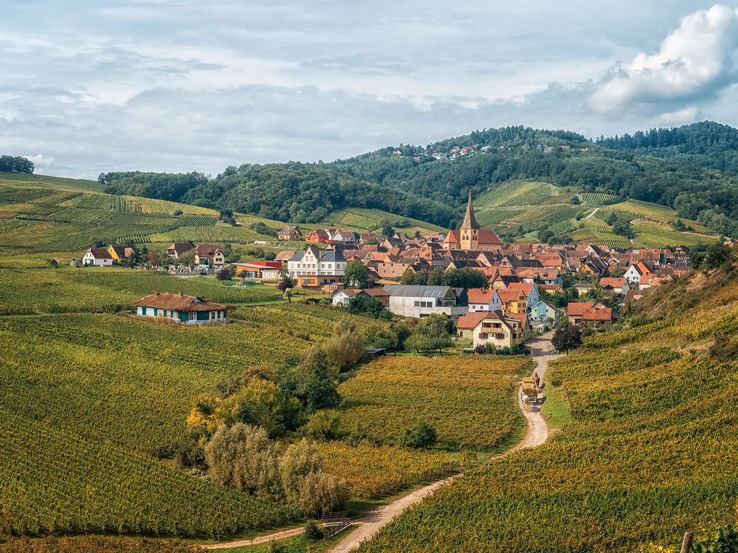
The Alsace Vineyard Trail is a moderate point-to-point walk through the vineyards of the Route des Vins d'Alsace in north-east France, along the eastern foothills of the Vosges between Strasbourg and Mulhouse. The official signed wine route is about 170 km from Marlenheim to Thann; walkers usually use Club Vosgien vineyard, forest and village paths, with options from a 17 km Riquewihr–Eguisheim taster to 7–8 day self-guided itineraries. It suits hikers who want culture, wine villages and steady, non-technical hills.
Route Overview
The full route runs north to south from Marlenheim, near Strasbourg, to Thann, near Mulhouse. Walking itineraries usually select the best vineyard footpaths and village links rather than following the road exactly, passing places such as Obernai, Barr, Andlau, Dambach-la-Ville, Bergheim, Ribeauville, Hunawihr, Riquewihr, Kaysersberg, Turckheim, Eguisheim, Rouffach and Guebwiller. Popular sections include Barr to Kaysersberg, Thannenkirch to Eguisheim, and the shorter Riquewihr to Eguisheim day walk. The trail is linear, but many local sentiers viticoles above villages are loops. For more forested Vosges walking, compare the Ballons des Vosges Park Trails; for a flatter French long-distance option, see the Burgundy Canal Towpath.
History of the Alsace Wine Route
Alsace has grown wine since Roman times, and its half-timbered villages reflect the wealth of a region that sat on trade routes between France and German-speaking lands. Alsace changed hands repeatedly between French and German rule, especially around the Franco-Prussian War and the two World Wars, leaving a mixed culture in dialect, food and architecture. The Route des Vins d'Alsace was inaugurated on 30 May 1953 as France's first signed wine route, launched with car-rally convoys from Marlenheim and Thann.
Notable highlights
- Riquewihr: A Plus Beaux Villages settlement with a largely preserved 16th-century walled core of half-timbered houses and wine cellars, set among Riesling grand cru slopes.
- Eguisheim: A circular wine village built in concentric rings around its castle, with pastel half-timbered streets and a natural southern finish for many walking itineraries.
- Kaysersberg: A medieval wine town below a ruined imperial castle, guarding the Weiss valley and associated with Albert Schweitzer.
- Chateau du Haut-Koenigsbourg: A restored mountain-top medieval fortress at 757 m, reached by a steep detour above the route, with wide views over the Alsace plain and Vosges.
- Ribeauville and the Trois Chateaux: Ribeauville is overlooked by the ruined castles of Saint-Ulrich, Girsberg and Haut-Ribeaupierre, making it one of the classic vineyard-and-castle climbs.
- Alsace grand cru wines: The route threads named vineyard parcels and villages where growers pour dry whites such as Riesling, Gewurztraminer, Pinot Gris and Muscat.
Challenges to expect
The walking is non-technical, but it is not flat: expect repeated climbs from villages onto vineyard slopes and castle viewpoints. Documented daily ascents commonly run around 200–700 m, with one stage near Ribeauville around 900 m, though total route ascent depends on the chosen itinerary. Summer can be hot and exposed among the vines, with limited shade. Navigation is helped by Club Vosgien waymarks, but the dense path network rewards a map or GPX.
HikeList Score
Alsace Vineyard Trail scored 81/100 on HikeList's trail-quality metrics.
See score breakdownHide breakdown
- Ideal length 81
- Balanced challenge 100
- Scenery & wildness 71
- Varied terrain 83
- Accommodation 74
- Food & support 81
- Path quality 80
- Season flexibility 89
Computed from length, challenge, scenery & wildness, terrain variety, accommodation, food & support, path quality and season flexibility.
Show more data Show less
- Vineyard
- Forest
- Hilly
- Gravel
- Dirt
- Paved
- Hotels
- Guesthouses
- Family Friendly
- Pet Friendly
- Restrooms
- Water Sources
- Picnic Areas
In these collections
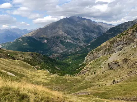
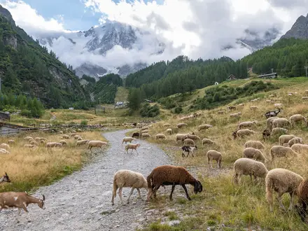
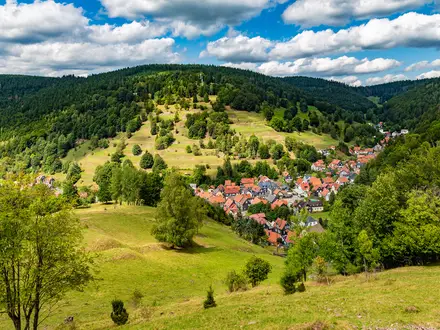
Photos from hikers
Taken on the trail by people who've reviewed Alsace Vineyard Trail.
Reviews
How would you rate Alsace Vineyard Trail?
Tap a star to start your review — you could be the first.