Bihor Peak Summit Trail
How would you rate Bihor Peak Summit Trail?
Tap a star to share your experience and help other hikers.
Bihor Peak Summit Trail: Apuseni High Point Hike
HikeList Score
Bihor Peak Summit Trail scored 78/100 on HikeList's trail-quality metrics.
See score breakdownHide breakdown
- Ideal length 55
- Balanced challenge 80
- Scenery & wildness 78
- Varied terrain 100
- Accommodation 75
- Food & support 81
- Path quality 98
- Season flexibility 76
Computed from length, challenge, scenery & wildness, terrain variety, accommodation, food & support, path quality and season flexibility.
The Bihor Peak Summit Trail is a hard 14 km out-and-back hike to Curcubăta Mare / Vârful Bihor, the 1,849 m high point of the Apuseni Mountains in western Romania. Usually walked as a long single day from the Arieșeni / Șaua Vârtop area, it suits fit hikers comfortable with sustained ascent, rocky open ground and navigation when waymarks fade above the treeline. Expect around 900 m of ascent and allow roughly 6–8 hours return.
Route Overview
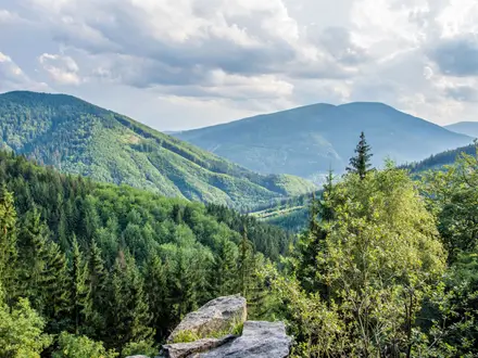
Start from the Arieșeni / Șaua Vârtop area on the DN75 corridor, near the Vârtop ski slope, and return the same way. The red route from Șaua Vârtop and the blue route from Arieșeni are the main waymarked approaches; both climb through beech and spruce forest before reaching subalpine meadows and the exposed ridge near Curcubăta Mică and Piatra Grăitoare. The summit of Curcubăta Mare / Vârful Bihor is marked by a telecommunications mast and can also be shadowed by an unpaved 4x4 service road in poor visibility. For more Apuseni karst walking, see the Cetățile Ponorului Circuit; for a broader mountain objective, compare the Carpathian Ridge Trail.
Waymarked Routes and Place Names
The Apuseni ridge includes some of Romania’s oldest waymarked hiking routes, with parts said to be around 100 years old. The summit is known by several names: Curcubăta Mare or Cucurbăta Mare in Romanian, Vârful Bihor as the Bihor Peak name, and Nagy-Bihar in Hungarian. These variants appear on maps and route descriptions, so it is worth recognising all of them when planning or navigating locally.
Notable highlights
- Curcubăta Mare / Vârful Bihor (1,849 m): The highest summit of the Apuseni Mountains and Western Romanian Carpathians. The telecommunications mast makes the top easy to identify in clear weather.
- Summit panorama: In good visibility the view opens over the Apuseni, the Western Carpathians, and towards the Zarand and Beiuș valleys. Fog is common, so do not rely on views for navigation.
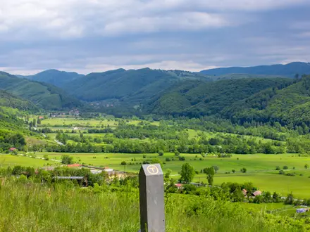
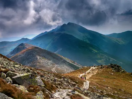
- Subalpine ridge and meadows: Above the treeline the route crosses open meadows and the connecting ridge near Curcubăta Mică. Summer flowers add interest, but the terrain is more exposed.
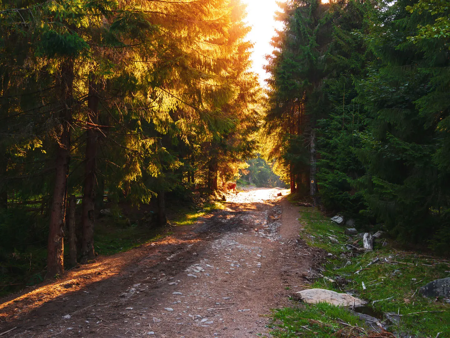
- Beech and spruce forest: The lower slopes climb through mixed Carpathian woodland. These forests are habitat for deer, wild boar, foxes, martens, wolves and brown bears.
- Vârtop and Arieșeni base: The DN75 corridor gives road access, guesthouses and chalets near the trailhead area. Vârtop Cave is nearby in the wider region, not on the summit path itself.
Challenges to expect
The difficulty comes from the sustained climb, around 900 m of ascent, uneven rocky ground and exposure above the forest. Waymarking can become weak higher up, especially on the Arieșeni approach, and fog or low cloud is frequent on the summit. Carry a map, compass or GPS, start early, and do not expect a staffed refuge or resupply on the route.
HikeList Score
Bihor Peak Summit Trail scored 78/100 on HikeList's trail-quality metrics.
See score breakdownHide breakdown
- Ideal length 55
- Balanced challenge 80
- Scenery & wildness 78
- Varied terrain 100
- Accommodation 75
- Food & support 81
- Path quality 98
- Season flexibility 76
Computed from length, challenge, scenery & wildness, terrain variety, accommodation, food & support, path quality and season flexibility.
 Romania
Show more data Show less
- Mountainous
- Forest
- Subalpine Meadows
- Exposed Ridge
- Forest Paths
- Dirt Tracks
- Rocky
- Unpaved Service Road
- Guesthouses
- Chalets
- Wild Camping Spots
- Pet Friendly
- Water Sources
- Campsites
- Shelters
Photos from hikers
Taken on the trail by people who've reviewed Bihor Peak Summit Trail.
Reviews
How would you rate Bihor Peak Summit Trail?
Tap a star to start your review — you could be the first.