Nærøyfjord Rim Trail
How would you rate Nærøyfjord Rim Trail?
Tap a star to share your experience and help other hikers.
Nærøyfjord Rim Trail: Rimstigen Above the Fjord
HikeList Score
Nærøyfjord Rim Trail scored 80/100 on HikeList's trail-quality metrics.
See score breakdownHide breakdown
- Ideal length 55
- Balanced challenge 74
- Scenery & wildness 98
- Varied terrain 89
- Accommodation 75
- Food & support 81
- Path quality 98
- Season flexibility 76
Computed from length, challenge, scenery & wildness, terrain variety, accommodation, food & support, path quality and season flexibility.
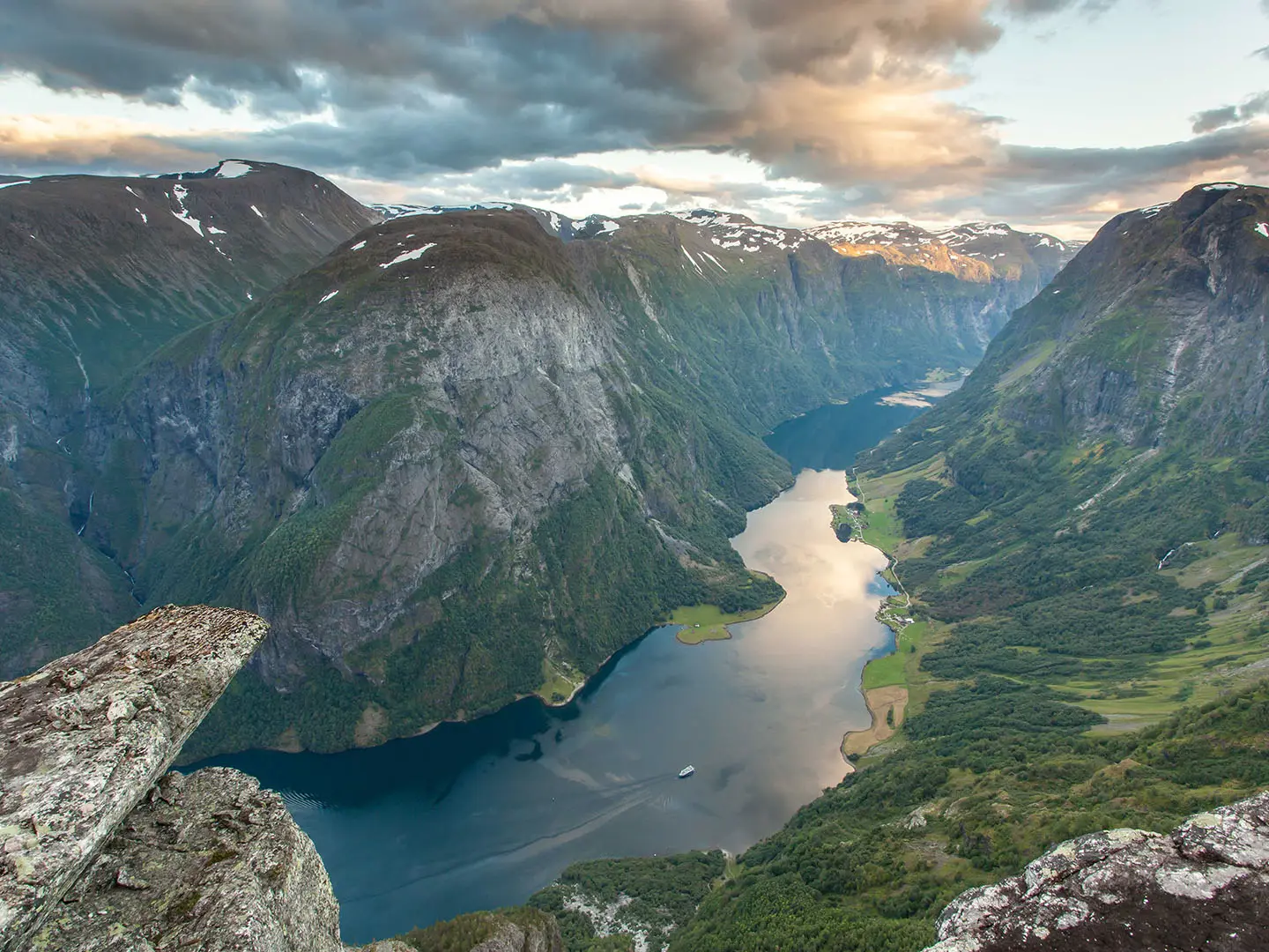
The Nærøyfjord Rim Trail is the steep Rimstigen day hike above the west side of the Nærøyfjord near Bakka, Aurland, in Norway. Treat the listed 14 km as the Gudvangen-based round trip; the core Rimstigen climb from the trailhead is about 6 km return. It is a hard out-and-back, gaining sharply to a 725 m viewpoint, and suits confident hikers comfortable on narrow, rocky, slippery mountain paths rather than anyone seeking an easy fjord walk.
Route Overview
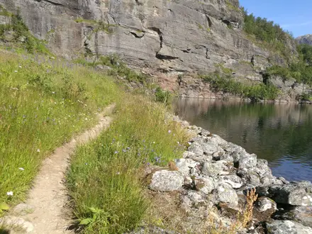
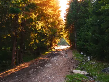
Rimstigen starts and finishes at the trailhead near Kvernaviki/Tufto, just up the road from Bakka on the west shore of the Nærøyfjord. There is no public transport to Bakka; access is by car, transfer or guided trip from places such as Gudvangen, Flåm or Voss. The path climbs beside the Tufteelvi waterfall, zigzags up the historic Rimstigen staircase, passes from birch forest into open mountain, and tops out at the Rimstigen viewpoint beside Rimstigbotnen before returning the same way. This is not a Bakka-to-Gudvangen rim traverse. For other Norwegian hiking styles, compare the Aurlandsdalen Valley Trail, Besseggen Ridge or the Hardangervidda Traverse.
Rimstigen: A Farm Path to the High Pastures
Rimstigen was a working mountain-farming path before it became a viewpoint hike. Farmers from Bakka used the route to move livestock from the fjord farms up to high summer pastures, known in Norway as seter. The stone-laid zigzags on the steep hillside are part of that practical heritage. The wider Nærøyfjord landscape is now part of the West Norwegian Fjords UNESCO World Heritage Site, recognised since 2005 as an archetypal fjord landscape.
Notable highlights
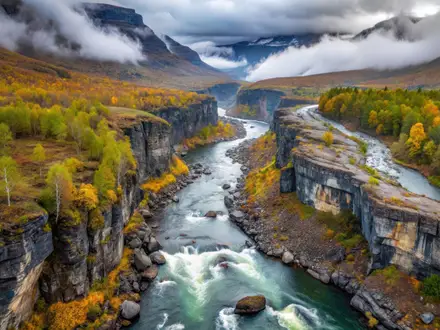
- Rimstigen viewpoint (about 725 m): The climb ends above the fjord with a near-vertical view down onto the UNESCO-listed Nærøyfjord and across to the mountains opposite.
- Historic farmers’ path: Rimstigen was used by Bakka farmers to drive animals to high summer pastures; the stone steps and tight zigzags make that history visible underfoot.
- Tufteelvi waterfall: The route climbs the steep south side of the Tufteelvi river as it drops towards the fjord, adding noise, spray and exposure to the ascent.
- Rimstigbotnen hanging valley: The viewpoint sits beside this high valley above the water, a clear glacial fjord landform.
- Nærøyfjord UNESCO landscape: The Nærøyfjord is about 17 km long, narrows to roughly 250 m, and is walled by mountains rising to about 1,761 m.
Challenges to expect
Expect a relentless climb: about 700 m is gained in under 3 km on the core Rimstigen path, while the 14 km Gudvangen variant records about 1,250 m ascent. The route is narrow, rocky, muddy after rain and slippery on stone steps. Avoid spring, fog, thunderstorms and heavy-rain periods because of avalanche, landslide and slip risk. There are no huts, shops or resupply on the path.
HikeList Score
Nærøyfjord Rim Trail scored 80/100 on HikeList's trail-quality metrics.
See score breakdownHide breakdown
- Ideal length 55
- Balanced challenge 74
- Scenery & wildness 98
- Varied terrain 89
- Accommodation 75
- Food & support 81
- Path quality 98
- Season flexibility 76
Computed from length, challenge, scenery & wildness, terrain variety, accommodation, food & support, path quality and season flexibility.
Show more data Show less
- Mountainous
- Fjord
- Forest
- Dirt
- Rocky
- Stone Steps
- Muddy
- Hotels
- Cabins
- Campsites
- Pet Friendly
- Water Sources
- Campsites
- Shelters
Photos from hikers
Taken on the trail by people who've reviewed Nærøyfjord Rim Trail.
Reviews
How would you rate Nærøyfjord Rim Trail?
Tap a star to start your review — you could be the first.