Mecsek Mountains Traverse
How would you rate Mecsek Mountains Traverse?
Tap a star to share your experience and help other hikers.
Mecseki Zöld Túra: A Hard Traverse of the Mecsek
HikeList Score
Mecsek Mountains Traverse scored 84/100 on HikeList's trail-quality metrics.
See score breakdownHide breakdown
- Ideal length 78
- Balanced challenge 84
- Scenery & wildness 98
- Varied terrain 71
- Accommodation 75
- Food & support 88
- Path quality 80
- Season flexibility 89
Computed from length, challenge, scenery & wildness, terrain variety, accommodation, food & support, path quality and season flexibility.
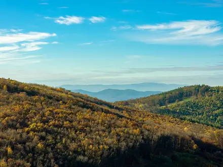
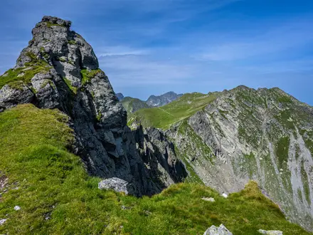
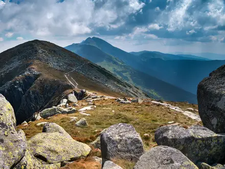
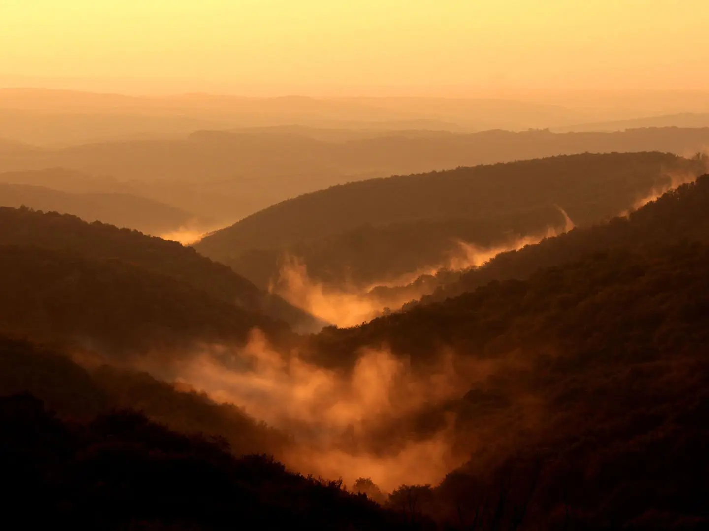
The Mecsek Mountains Traverse is best understood as the Mecseki Zöld Túra: a 101 km green-blazed, point-to-point badge route across the Mecsek hills of Baranya County, southern Hungary. It runs from Pécs-Vasas to Mecseknádasd and is usually completed in 4 days. Expect a hard walk: constant climbs and descents, about 2,530 m of ascent, forest paths, karst plateaux, valleys and occasional asphalt near villages. It suits fit hikers who want a compact Hungarian thru-hike with regular settlement access.
Route Overview
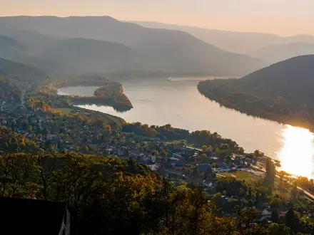
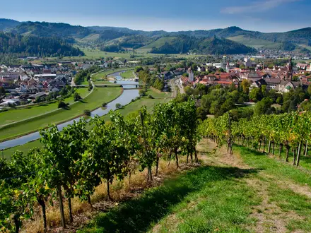
The route starts at Pécs-Vasas bus stop on the eastern edge of Pécs and finishes at Mecseknádasd, by the bus stop / Szent István church. It can be walked either way, following the green stripe / band (zöld sáv) waymarks. Key places include Magyarürög / Daindol, Jakab-hegy, Orfű, Abaliget, the Melegmányi (Éger) Valley, Sikonda, Vágotpuszta, Mecsekpölöske, Kisvaszar and Réka-vár before Mecseknádasd. This is a point-to-point forest and hill route with bus access at both ends. For other Hungarian hill routes, compare the Bakony Hills Trail, the Bükk National Park Trail or the karst-focused Aggtelek National Park Trail.
History of the Mecsek Green Trail
The Mecsek has a long human history. Jakab-hegy held a prehistoric earthwork and a Celtic oppidum, later followed by a Pauline monastery founded in 1225. The range’s limestone karst, springs and caves shaped settlement and travel through the hills. In the 19th and 20th centuries the Mecsek became a major mining district, with coal around Pécs, Komló and Szászvár, and uranium near Kővágószőlős from the 1950s. In 1956, the hills sheltered the “Mecsek Invisibles” resistance fighters of the Hungarian Revolution. The Green Trail was formalised in 2001.
Notable highlights
- Jakab-hegy (602 m): A karst plateau in the western Mecsek and the highest ground on the route. It is notable for prehistoric earthworks, a Celtic oppidum and the ruins of a 13th-century Pauline monastery founded in 1225.
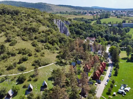
- Abaliget Cave: A limestone show cave near the route, with stalactites and an adjoining bat museum. The cave is the longest in the Mecsek, with part of the main passage open to visitors.
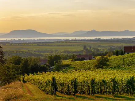
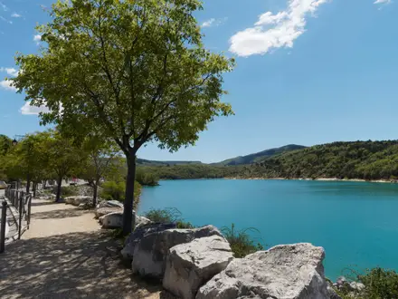
- Orfű: A lakeside resort village with springs and mill museums. It is a useful resupply and overnight point on the traverse.
- Melegmányi (Éger) Valley: A protected karst valley of springs, tufa terraces and mossy beech woodland. The green trail threads through it, making it one of the most scenic sections.
- Réka-vár: Medieval castle ruins in the north-eastern Mecsek above Mecseknádasd. It is passed near the end of the trail.
- Zengő context: Zengő is the highest peak of the Mecsek at 682 m and a famous regional landmark with a lookout tower, but it is off the Mecseki Zöld Túra line.
Challenges to expect
The difficulty comes from repetition rather than altitude: the trail is a roller-coaster of short climbs and descents through forested hills. Some paths can be overgrown, rocky or muddy, especially in spring, and winter ridges may have snow or ice. Navigation relies on following the green stripe blazes. Accommodation is in guesthouses, key-houses and village lodging, so plan stages and overnight stops in advance.
HikeList Score
Mecsek Mountains Traverse scored 84/100 on HikeList's trail-quality metrics.
See score breakdownHide breakdown
- Ideal length 78
- Balanced challenge 84
- Scenery & wildness 98
- Varied terrain 71
- Accommodation 75
- Food & support 88
- Path quality 80
- Season flexibility 89
Computed from length, challenge, scenery & wildness, terrain variety, accommodation, food & support, path quality and season flexibility.
Show more data Show less
- Mountainous
- Forest
- Dirt
- Rocky
- Paved
- Guesthouses
- Key Houses
- Village Lodging
- Family Friendly
- Pet Friendly
- Water Sources
- Campsites
- Shelters
- Picnic Areas
Photos from hikers
Taken on the trail by people who've reviewed Mecsek Mountains Traverse.
Reviews
How would you rate Mecsek Mountains Traverse?
Tap a star to start your review — you could be the first.