Attersee Circular Trail
How would you rate Attersee Circular Trail?
Tap a star to share your experience and help other hikers.
Attersee Circular Trail: Lake Attersee in Four Stages
HikeList Score
Attersee Circular Trail scored 82/100 on HikeList's trail-quality metrics.
See score breakdownHide breakdown
- Ideal length 78
- Balanced challenge 84
- Scenery & wildness 78
- Varied terrain 94
- Accommodation 74
- Food & support 88
- Path quality 80
- Season flexibility 89
Computed from length, challenge, scenery & wildness, terrain variety, accommodation, food & support, path quality and season flexibility.
The Attersee Circular Trail is the Weitwanderweg Attersee-Attergau, a 91 km waymarked loop around Lake Attersee in the Salzkammergut, Upper Austria. Standard itineraries take 4 days, with an optional 5-day split, around 3,400 m of ascent and a hard overall grade. It suits fit hikers who want a lake-and-hills route linking Seewalchen, Attersee am Attersee, Nußdorf, Unterach, Steinbach, Weyregg and other Attersee-Attergau communities.
Route Overview
This is a circular route starting and finishing at Seewalchen am Attersee on the north shore. The usual direction is anticlockwise: Seewalchen to Nußdorf, Nußdorf to Unterach, Unterach to Steinbach, then Steinbach back to Seewalchen. The trail mixes lakeside walking, forest, gravel, asphalt and hill crossings, with the highest and roughest ground on stage 3 near the Schafberg and Eisenauer Alm. The 35 km final stage is the longest and is often split. Stages can be shortened using the Attersee passenger boat, local train or water taxi. If comparing other Austrian multi-day walks, see the Dachstein Rundwanderweg, Donausteig (Danube Trail) or Eagle Walk (Adlerweg).
Attersee, Attergau and Gustav Klimt
The Weitwanderweg Attersee-Attergau was created as a signposted long-distance trail to connect the 11 communities of the Attersee-Attergau region and package a full “once around the lake” walk. Lake Attersee and its villages also have a strong resort and cultural history. Gustav Klimt spent most summers between 1900 and 1916 around the lake, notably at Litzlberg near Seewalchen, and made roughly 40 landscapes here, including Insel im Attersee.
Notable highlights
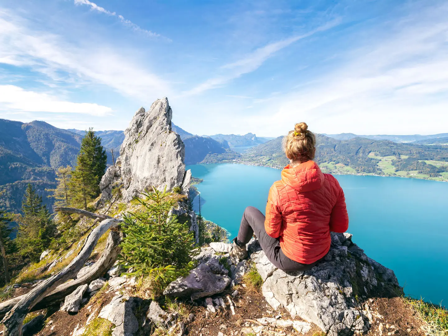
- Lake Attersee: The trail makes a full circuit of Austria’s largest lake lying entirely within the country, at 46.2 km² and up to 169 m deep. Expect long lakeside sections and regular views across clear turquoise water.
- Sweet-chestnut forest on stage 2: The climb over the Reiter Gupf passes an Edelkastanienwald, said to be the only sweet-chestnut forest north of the Alps. It is one of the route’s most distinctive forest sections.
- Eisenauer Alm: This alpine pasture is reached on stage 3 between Unterach and Steinbach. It sits on the rugged lower flanks of the Schafberg and is noted for wide panoramas over Lake Attersee.
- Schafberg flanks: Stage 3 crosses the route’s highest and most rugged terrain near the rocky lower slopes of the Schafberg, reaching about 1,027 m. This is the most mountain-like part of the circuit.
- Gustav Klimt heritage: Klimt’s Attersee summers give the lake an unusual art-history layer for a hiking route. Litzlberg near Seewalchen is especially associated with his stays and lake landscapes.
Challenges to expect
Do not treat this as a short lakeside stroll: official sources rate the route difficult, with about 3,400 m of ascent and several long walking days. Stage 3 is the roughest, with rocky ground near the Schafberg, while the 35 km final stage is the main endurance test. There is no winter clearing, so plan for spring to autumn and book hotels or guesthouses ahead.
HikeList Score
Attersee Circular Trail scored 82/100 on HikeList's trail-quality metrics.
See score breakdownHide breakdown
- Ideal length 78
- Balanced challenge 84
- Scenery & wildness 78
- Varied terrain 94
- Accommodation 74
- Food & support 88
- Path quality 80
- Season flexibility 89
Computed from length, challenge, scenery & wildness, terrain variety, accommodation, food & support, path quality and season flexibility.
 Austria
Show more data Show less
- Forest
- Lakeside
- Hilly
- Alpine Pasture
- Trail
- Gravel
- Asphalt
- Hotels
- Guesthouses
- Family Friendly
- Pet Friendly
- Restrooms
- Water Sources
- Campsites
- Picnic Areas
Photos from hikers
Taken on the trail by people who've reviewed Attersee Circular Trail.
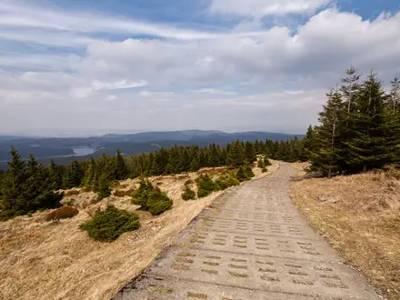
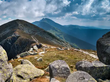
A mostly lakeside and gentle opening stage from the north shore at Seewalchen towards Nußdorf, passing through Attersee am Attersee and the Attersee-Attergau communities along the way.
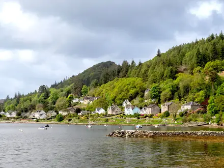
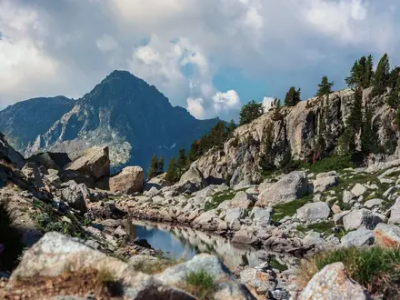
The shortest standard stage, but still with about 450 m of climbing over the Reiter Gupf. The route crosses the sweet-chestnut forest before descending towards Unterach on the southern part of the lake.
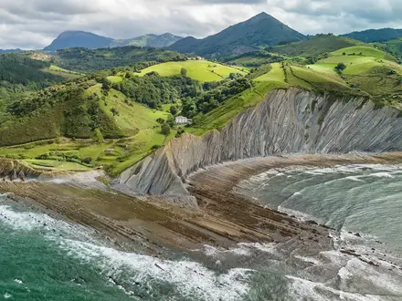
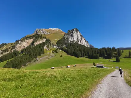
The highest and most rugged stage, crossing rocky lower flanks of the Schafberg and passing near Eisenauer Alm. This is the key mountain section of the Attersee circuit.
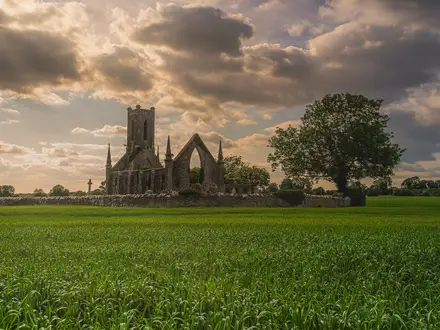
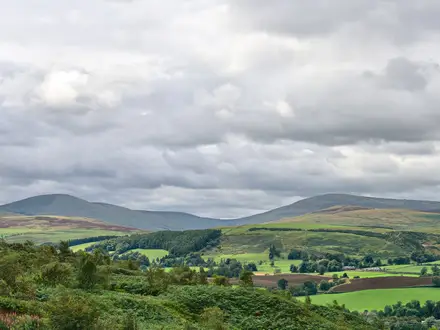
The longest and most strenuous stage, with long lakeside stretches and two hill crossings before returning to Seewalchen. Many hikers split this section into two days.
Reviews
How would you rate Attersee Circular Trail?
Tap a star to start your review — you could be the first.