Tour del Monte Rosa
How would you rate Tour del Monte Rosa?
Tap a star to share your experience and help other hikers.
Tour del Monte Rosa: Complete High-Alpine Trek Guide
HikeList Score
Tour del Monte Rosa scored 80/100 on HikeList's trail-quality metrics.
See score breakdownHide breakdown
- Ideal length 94
- Balanced challenge 44
- Scenery & wildness 98
- Varied terrain 83
- Accommodation 66
- Food & support 88
- Path quality 98
- Season flexibility 63
Computed from length, challenge, scenery & wildness, terrain variety, accommodation, food & support, path quality and season flexibility.
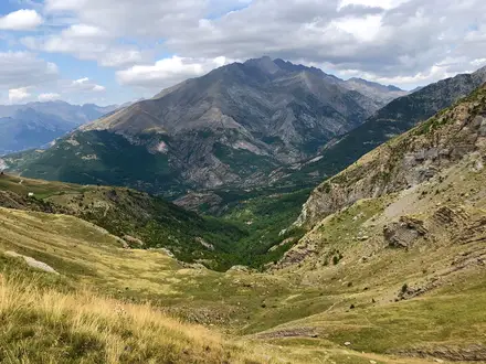
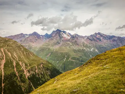
The Tour del Monte Rosa is a 170 km, 10-day expert hut-to-hut loop around the Monte Rosa massif, crossing Switzerland and Italy. Starting and finishing most commonly in Zermatt, it links Valais with Piedmont, Valsesia and the Aosta Valley via high passes, rocky trails, scree and one or two glacier crossings. This is a serious Alpine trek for experienced hikers: higher, tougher and more committing than many classic hut routes, with sustained altitude and around 10,654 m of total ascent.
Route Overview
The standard Tour del Monte Rosa is a circular loop from Zermatt, usually walked anticlockwise. The route takes in the Europaweg and Europahütte above the Mattertal, Grächen, Saas-Fee and Saas-Almagell before crossing the Monte Moro Pass into Italy at Macugnaga. It continues over the Colle del Turlo to Alagna Valsesia, Gressoney-La-Trinité, Colle Bettaforca, Champoluc, the Col des Cimes Blanches and Breuil-Cervinia, then returns to Zermatt via the Theodul Pass and glacier. Some hikers start at Saas-Fee, Saas-Grund, Täsch, Grächen or Alagna. Optional cable cars or gondolas can shorten sections. For other Italian multi-day planning, compare the Gran Paradiso Trek, Alta Via 1 and Alta Via 2.
Monte Rosa, the Walser valleys and the modern tour
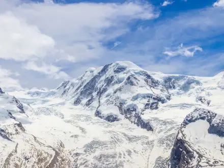
Monte Rosa sits on the Swiss-Italian border in the Pennine Alps. Its highest summit, the Dufourspitze at 4,634 m, is the highest point in Switzerland and was first climbed from Zermatt on 1 August 1855 by an eight-strong party led by local guides. The valleys around the route were settled from the 13th century by the Walser, German-speaking communities who crossed the high passes into Gressoney, Alagna and Macugnaga. The modern tour links old mountain paths, passes and hut networks into a continuous circuit.
Notable highlights
- Theodul Pass and glacier crossing (~3,295 m): The high point of the route on the Swiss-Italian border. Reaching it involves a glacier crossing beneath the Matterhorn, so many parties use a guide for this section.
- Monte Rosa east face above Macugnaga: From Macugnaga the trail runs below Monte Rosa’s huge east face, a near-2,400 m wall of rock and ice and one of the defining sights of the circuit.
- The Europaweg and Europahütte: A high balcony trail above the Mattertal between Grächen and Zermatt. It gives wide views across to the Weisshorn and surrounding 4,000 m peaks.
- Monte Moro Pass (~2,853 m): The crossing from Switzerland’s Saas valley into Italy at Macugnaga. A gilded Madonna statue stands at the pass, with a direct view towards Monte Rosa’s east face.
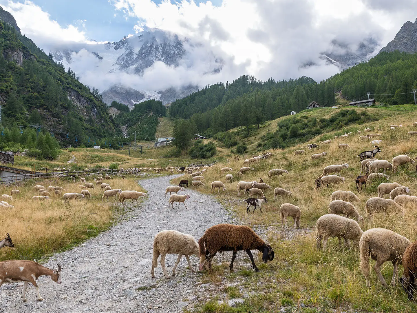
- Walser valleys of Gressoney, Alagna and Macugnaga: These Italian valleys preserve Walser culture, with distinctive timber houses and German-speaking heritage linked to medieval migration over the Alpine passes.
- Views of major Alpine summits: The circuit offers views of seven of the ten highest peaks in the Alps, including the Dufourspitze and the Matterhorn.
Challenges to expect
Expect long, strenuous Alpine days with about 1,000 m of ascent or descent on many stages, high passes above 3,000 m, rocky paths, scree, boulder fields and glacier travel. The route is waymarked, but the glaciated and exposed sections still require alpine judgement and navigation care. July to mid-September is the normal season; before early July the high passes are not advised. Book huts well ahead in peak season.
HikeList Score
Tour del Monte Rosa scored 80/100 on HikeList's trail-quality metrics.
See score breakdownHide breakdown
- Ideal length 94
- Balanced challenge 44
- Scenery & wildness 98
- Varied terrain 83
- Accommodation 66
- Food & support 88
- Path quality 98
- Season flexibility 63
Computed from length, challenge, scenery & wildness, terrain variety, accommodation, food & support, path quality and season flexibility.
 Italy
ItalyShow more data Show less
- Mountain
- Alpine
- Glacier
- Rock
- Dirt
- Scree
- Mountain Huts
- Hotels
- Pet Friendly
- Restrooms
- Water Sources
- Campsites
- Shelters
In these collections
Photos from hikers
Taken on the trail by people who've reviewed Tour del Monte Rosa.
Start your trek from the traditional Walser village of Alagna Valsesia, ascending steadily to the Colle del Turlo (2,738m), a well-built historic pass road. Descend steeply into the Anzasca Valley, finishing in the picturesque village of Macugnaga at the foot of Monte Rosa’s east face.
Depart Macugnaga, crossing the impressive Monte Moro Pass (2,853m), with its iconic golden Madonna statue and panoramic views. Descend to Mattmark reservoir and continue through the Saas Valley to reach the Swiss village of Saas Fee.
Leave Saas Fee via forested and balcony paths high above the valley, passing traditional farmsteads and enjoying broad views of the Mischabel range. The route continues along an undulating trail to the lovely resort town of Grächen.
From Grächen, take the famous Europaweg, known for its thrilling high-level balcony trail with suspended bridges and occasional exposure. Traverse beneath the towering peaks toward Zermatt, where the Matterhorn looms into view.
Leaving the Swiss Alps, ascend towards the Theodulpass (3,317m), the highest point on the Tour del Monte Rosa, crossing the border back into Italy. Descend alongside glaciers to arrive in the alpine resort town of Breuil-Cervinia.
Follow mountain trails through larch forests and past high alpine lakes, making a gradual descent into the lush Ayas Valley. Pass through small hamlets and enjoy glimpses of Monte Rosa, stopping in the village of St. Jacques.
Climb the scenic Colle di Bettaforca (2,672m), then descend into the heart of the Gressoney Valley. This stretch features classic alpine terrain and traditional stone-built Walser hamlets, with beautiful meadows and streams.
Ascend past Rifugio Gabiet and over Colle d’Olen (2,881m) with expansive mountain views. Descend alongside ski pistes and wildflower meadows to return to Alagna Valsesia, completing the main loop of the trek.
For those seeking bonus adventure or an acclimatization hike, ascend from Macugnaga to the beautiful Rifugio Zamboni-Zappa at the foot of Monte Rosa’s east face, enjoying dramatic glacial scenery before returning.
Use this day as a buffer for rest, weather disruptions, or additional exploration, such as wildlife viewing, cultural visits in valley villages, or recovery from high alpine stages. Customize activities based on conditions and interests.
Reviews
How would you rate Tour del Monte Rosa?
Tap a star to start your review — you could be the first.