Tour of Monte Rosa
How would you rate Tour of Monte Rosa?
Tap a star to share your experience and help other hikers.
Tour of Monte Rosa: A High-Alpine Circuit of Monte Rosa
HikeList Score
Tour of Monte Rosa scored 85/100 on HikeList's trail-quality metrics.
See score breakdownHide breakdown
- Ideal length 94
- Balanced challenge 44
- Scenery & wildness 98
- Varied terrain 100
- Accommodation 83
- Food & support 88
- Path quality 98
- Season flexibility 76
Computed from length, challenge, scenery & wildness, terrain variety, accommodation, food & support, path quality and season flexibility.
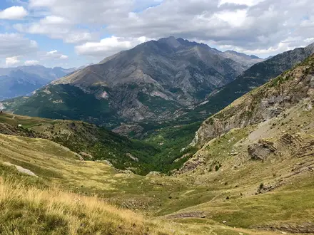
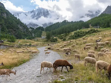
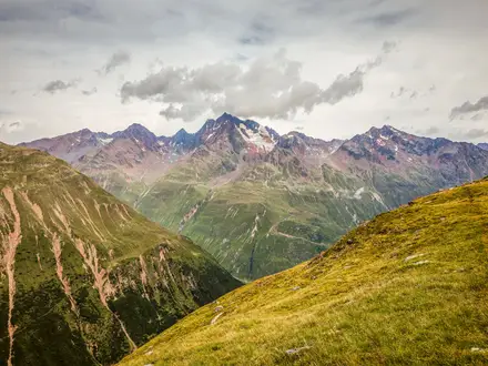
The Tour of Monte Rosa is a roughly 170 km, 10-day expert loop around the Monte Rosa massif, crossing Switzerland's Valais and Italy's Aosta Valley/Piedmont. Usually started in Zermatt, it is a hut-to-hut and village-to-village trek on waymarked high-alpine paths. Expect steep daily climbs and descents, rocky passes, exposed traverses and a glaciated crossing of the Theodul Pass. It suits experienced mountain trekkers who want a tougher, higher and wilder alternative to the Tour du Mont Blanc.
Route Overview
Most hikers start and finish in Zermatt, making a true loop around Monte Rosa, though Saas-Fee, Grachen and Alagna Valsesia are also valid access points. The circuit can be walked clockwise or anti-clockwise. Standard route places include Zermatt, Saas-Fee/Saas-Grund and Grachen on the Swiss side, then Macugnaga, Alagna Valsesia, Gressoney-La-Trinite, Champoluc and Breuil-Cervinia in Italy. Key passes include the Theodul Pass, Monte Moro Pass, Colle del Turlo and Colle Superiore delle Cime Bianche; the Grachen section can include the Europaweg. Optional cable cars can shorten approaches or avoid the Theodul glacier. For comparison, see Alpine Pass Route (Route 6), Bernina Trek and Aletsch Glacier Panorama Trail.
History of the Monte Rosa Circuit
The Monte Rosa region has been crossed for centuries: the Theodul Pass was a trade and pilgrimage route since at least Roman times. The Italian valleys were settled from the 13th century by the Walser, German-speaking migrants from Valais. Alpine tourism grew after the first ascent of the Matterhorn by Edward Whymper's party in 1865. The idea of a circuit around Monte Rosa is Victorian too: Mrs Henry Warwick Cole described an early tour in 'A Lady's Tour Round Monte Rosa' in 1859.
Notable highlights
Theodul Pass (3,295 m): The trek's high point is a glaciated saddle between the Matterhorn and the Breithorn, linking Zermatt with Breuil-Cervinia. It has long been used as a trade and pilgrimage crossing.
The Matterhorn and the 4000m peaks: The route gives repeated views of the Matterhorn above Zermatt and Breuil-Cervinia, plus seven of the ten highest summits in the Alps.
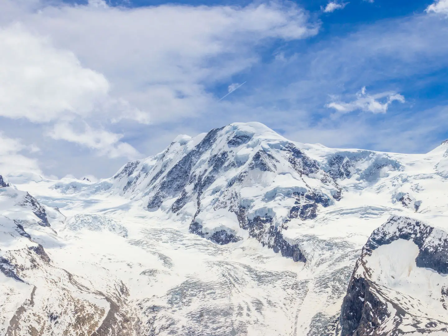
Monte Rosa massif and the Dufourspitze: The loop circles the whole massif, crowned by Dufourspitze at 4,634 m, the highest mountain in Switzerland.
Monte Moro Pass and Macugnaga: This 2,853 m Swiss-Italian border pass drops towards Macugnaga, below the huge east face of Monte Rosa.
Walser villages: Alagna Valsesia, Gressoney and Macugnaga are old Walser settlements, with surviving wooden architecture and dialect traditions.
Zermatt and the Europaweg: Car-free Zermatt is the usual start and finish. Near Grachen, the route can use the airy Europaweg high path.
Challenges to expect
This is an expert-level Alpine trek: long days, steep ascents and descents, exposed traverses, scree, boulder fields, footbridges and several high passes. Snow can remain on the passes into early summer, so setting out before early July is not advised. The Theodul section is glaciated and may require micro-spikes or crampons, though it can be avoided by cable car. July and August are the busiest months for huts and villages.
HikeList Score
Tour of Monte Rosa scored 85/100 on HikeList's trail-quality metrics.
See score breakdownHide breakdown
- Ideal length 94
- Balanced challenge 44
- Scenery & wildness 98
- Varied terrain 100
- Accommodation 83
- Food & support 88
- Path quality 98
- Season flexibility 76
Computed from length, challenge, scenery & wildness, terrain variety, accommodation, food & support, path quality and season flexibility.
 Switzerland
Show more data Show less
- Mountainous
- Alpine
- Forest
- Meadow
- Glacier
- Rocky
- Dirt
- Scree
- Snow
- Huts
- Hotels
- Guesthouses
- Pet Friendly
- Restrooms
- Water Sources
- Campsites
- Shelters
Articles related to this hike
Photos from hikers
Taken on the trail by people who've reviewed Tour of Monte Rosa.
Reviews
How would you rate Tour of Monte Rosa?
Tap a star to start your review — you could be the first.