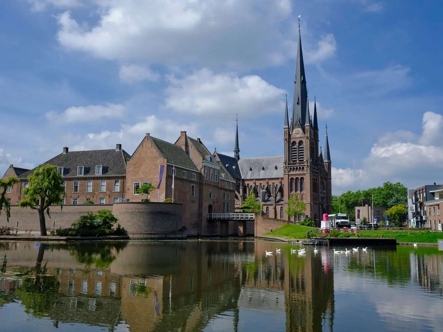
Oude Hollandse Waterlinie
How would you rate Oude Hollandse Waterlinie?
Tap a star to share your experience and help other hikers.
Oude Hollandse Waterlinie: A Flat Dutch Waterline Walk
HikeList Score
Oude Hollandse Waterlinie scored 75/100 on HikeList's trail-quality metrics.
See score breakdownHide breakdown
- Ideal length 92
- Balanced challenge 50
- Scenery & wildness 59
- Varied terrain 83
- Accommodation 83
- Food & support 88
- Path quality 80
- Season flexibility 89
Computed from length, challenge, scenery & wildness, terrain variety, accommodation, food & support, path quality and season flexibility.
The Oude Hollandse Waterlinie wandelpad is a waymarked point-to-point walking route in the Netherlands, following the Old Dutch Water Line from Muiderslot in Muiden to Slot Loevestein near Woudrichem and Gorinchem. The full route is about 170 km and is documented in 11 stages. It is technically easy: flat polder, dikes, towpaths, paved town streets and minor rural tracks, with negligible ascent. It suits walkers who want Dutch military history, fortress towns and wetland scenery rather than altitude or wilderness.
Route Overview
Most walkers follow the route north-to-south from Muiderslot to Slot Loevestein, but it is marked in both directions with yellow-red-yellow stickers and paint. The line passes Muiden, Weesp, the Vecht and Vechtplassen area, Vinkeveen, Kockengen, Woerden, Oudewater, Fort Wierickerschans, Schoonhoven, Nieuwpoort, Gorinchem and Woudrichem. It is a linear route, but every stage connects to public transport by train or bus, so it can also be walked as day sections from one base. For other lowland Dutch walking, compare the Floris V Trail, the Amstel River Trail or wetland hiking in Biesbosch National Park.
History of the Old Dutch Water Line
The Oude Hollandse Waterlinie was the defence line of the province of Holland from 1672 to 1815. During the Rampjaar, the Dutch flooded a strip of low-lying land between Muiden and Woudrichem, holding the water too deep to cross on foot but too shallow for boats. Fortified towns and forts guarded the few dry access routes. The line helped stop the French advance in 1672–73 and was later superseded by the Nieuwe Hollandse Waterlinie east of Utrecht.
Notable highlights
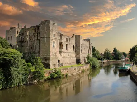
- Muiderslot, Muiden: A 13th-century moated castle on the IJmeer/former Zuiderzee and the northern anchor of the route. It gives the walk a clear historic start point.
- Slot Loevestein: A brick water-castle at the southern terminus, where the Maas meets the Waal. It is famous for Hugo de Groot’s 1621 escape from imprisonment in a book chest.
- Gorinchem and Woudrichem: Facing fortified towns by the rivers near the southern end of the route. Their ramparts and bastioned walls make the waterline history easy to read on foot.
- Nieuwpoort and Schoonhoven: Fortress towns guarding crossings of the Lek. Nieuwpoort is especially compact, with its fortified plan still clearly visible.
- Fort Wierickerschans: A 17th-century earthwork fort near Bodegraven, built to defend the waterline around the Enkele and Dubbele Wiericke streams.
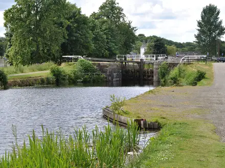
- Groene Hart polders and Vechtplassen: Flat, water-laced lowland of ditches, grass dikes, towpaths and wetlands. This is the landscape the inundation defence system depended on.
Challenges to expect
The walking is easy underfoot and almost flat, but 170 km over 11 stages is still a commitment. Expect exposed dikes, wind, muddy unpaved sections after rain and some paved or cobbled kilometres through towns. Waymarking is in both directions, but a map or GPS is sensible on rural dike and towpath sections. A small southern section near Fort Wierickerschans crosses farmland where dogs are not allowed.
HikeList Score
Oude Hollandse Waterlinie scored 75/100 on HikeList's trail-quality metrics.
See score breakdownHide breakdown
- Ideal length 92
- Balanced challenge 50
- Scenery & wildness 59
- Varied terrain 83
- Accommodation 83
- Food & support 88
- Path quality 80
- Season flexibility 89
Computed from length, challenge, scenery & wildness, terrain variety, accommodation, food & support, path quality and season flexibility.
 Netherlands
Show more data Show less
- Wetlands
- Rural
- Urban
- Paved
- Gravel
- Dirt
- Hotels
- Guesthouses
- Campsites
- Family Friendly
- Pet Friendly
- Restrooms
- Water Sources
- Campsites
- Picnic Areas
Photos from hikers
Taken on the trail by people who've reviewed Oude Hollandse Waterlinie.
Reviews
How would you rate Oude Hollandse Waterlinie?
Tap a star to start your review — you could be the first.