Supramonte Trails
How would you rate Supramonte Trails?
Tap a star to share your experience and help other hikers.
Supramonte Trails: Expert Karst Trekking in Sardinia
HikeList Score
Supramonte Trails scored 68/100 on HikeList's trail-quality metrics.
See score breakdownHide breakdown
- Ideal length 63
- Balanced challenge 44
- Scenery & wildness 85
- Varied terrain 76
- Accommodation 58
- Food & support 65
- Path quality 98
- Season flexibility 76
Computed from length, challenge, scenery & wildness, terrain variety, accommodation, food & support, path quality and season flexibility.
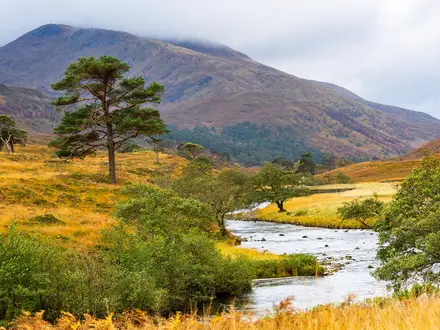
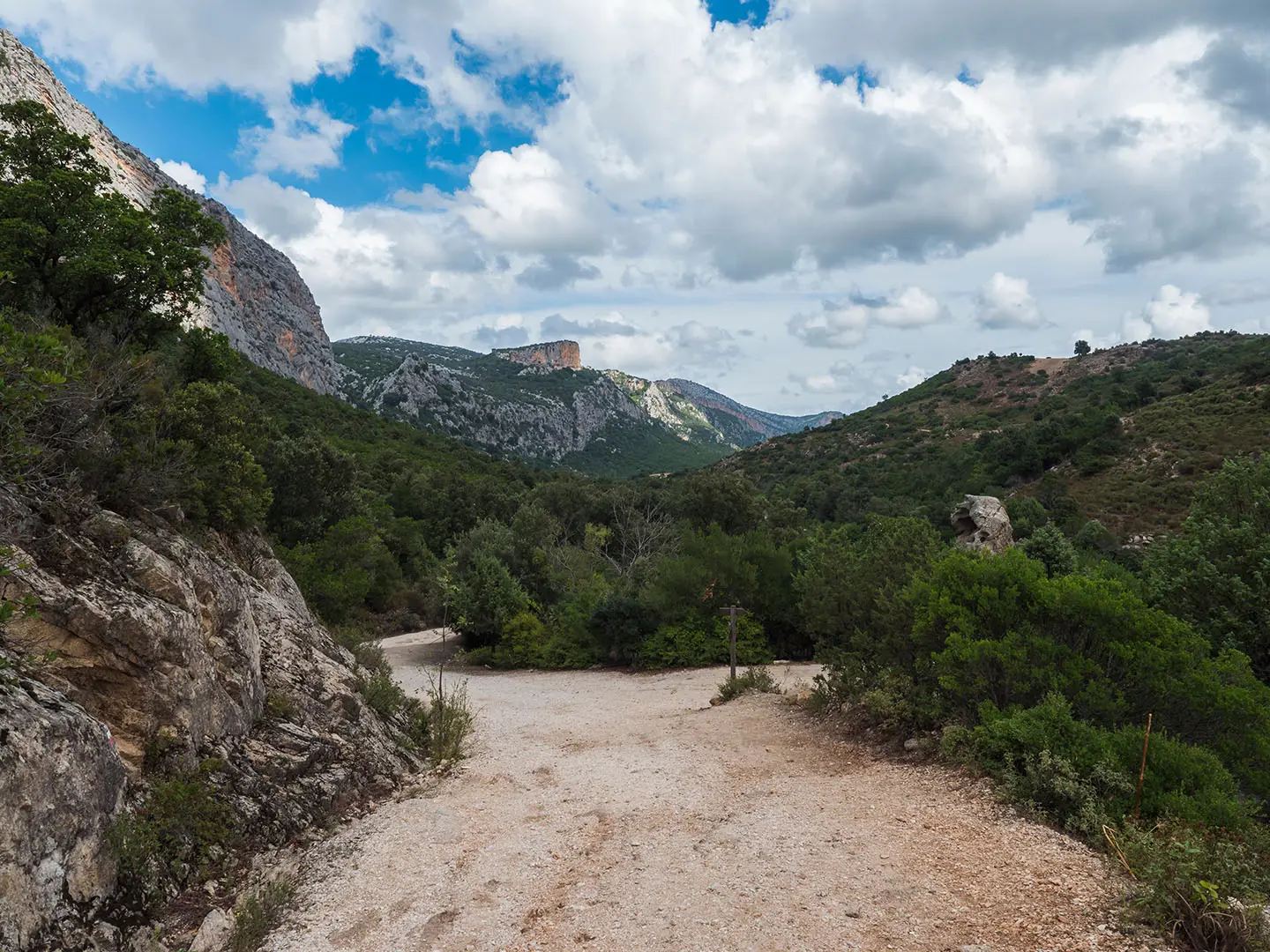
The Supramonte Trails are a ~25 km, 2-day expert traverse of the Orgosolo/Dorgali Supramonte in central-eastern Sardinia, Italy. This is not a single official long-distance trail: it is rugged trekking across a limestone karst massif on faint shepherds’ paths, linking the Gola su Gorropu gorge with the Nuragic village of Tiscali. Expect bare rock, scrub, holm-oak forest, sparse waymarking and around 8 hours’ walking per day. It suits experienced hikers with strong navigation skills, or those using a local guide.
Route Overview
This point-to-point traverse usually begins near Orgosolo or Dorgali, crosses the high karst plateau through areas such as Campu Donanicoro and Sas Baddes forest, then passes features including Su Sercone, Nuraghe Mereu, Gola su Gorropu and Tiscali. The finish varies by operator, typically toward the Oddoene valley, Urzulei or the Codula di Luna side. There is no continuous official waymarking, and access/exit logistics vary, so most hikers treat it as a guided or expert self-navigation route. For a different island trek, compare the Aeolian Islands Trek; for a higher Alpine objective, see the Gran Paradiso Trek.
Nuragic Sites, Shepherds’ Paths and Barbagia History
The Supramonte’s caves, sinkholes and cliffs have sheltered people for millennia. Tiscali was inhabited from the late Bronze Age and remains one of Sardinia’s best-known Nuragic sites. Later, the high karst plateau became the domain of Barbagia shepherds, whose pastoral trails and drystone cuiles still shape the route. The difficult terrain around Orgosolo also had a long association with refuge and banditry. Today the area lies within the Gulf of Orosei and Gennargentu national park area.
Notable highlights
- Gola su Gorropu: A limestone gorge carved by the Rio Flumineddu, with walls up to ~500 m high. It is the dramatic centrepiece of the traverse and one of Sardinia’s most serious hiking landscapes.
- Nuragic village of Tiscali: A Bronze/Iron Age settlement hidden inside a collapsed karst sinkhole on Mount Tiscali. It gives the route a rare mix of archaeology and mountain navigation.
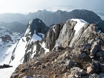
- Su Sercone and the karst plateau: Huge dolinas, bare limestone and holm-oak woodland define the Supramonte interior. The walking feels remote, rough and often trackless.
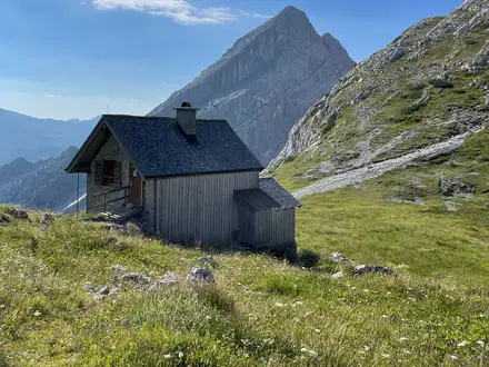
- Sas Baddes and shepherds’ cuiles: Traditional pastoral shelters mark the old herding routes across the plateau. Some guided itineraries use a cuile or bivouac for the overnight stop.
- Mediterranean wildlife and flora: Juniper, holm oak and macchia cover much of the route. Hikers may see wild boar, mouflon, or eagles above the cliffs.
Challenges to expect
This is hard/expert walking: faint shepherds’ tracks, sporadic to absent waymarking, bare limestone, deep gorges and big daily effort. Carry a GPS/map and ideally use a local guide. Water is limited; carry at least 2 litres per day. Spring and autumn are best, while summer heat and winter gorge water make conditions harder. For a less remote Italian coastal option, consider the Cilento Coast Trail; for sustained mountain hut trekking, see Alta Via 2.
HikeList Score
Supramonte Trails scored 68/100 on HikeList's trail-quality metrics.
See score breakdownHide breakdown
- Ideal length 63
- Balanced challenge 44
- Scenery & wildness 85
- Varied terrain 76
- Accommodation 58
- Food & support 65
- Path quality 98
- Season flexibility 76
Computed from length, challenge, scenery & wildness, terrain variety, accommodation, food & support, path quality and season flexibility.
 Italy
ItalyShow more data Show less
- Mountainous
- Forest
- Karst
- Rocky
- Dirt
- Huts
- Wild Camping Spots
- Pet Friendly
- Water Sources
- Campsites
- Shelters
Photos from hikers
Taken on the trail by people who've reviewed Supramonte Trails.
Begin near Orgosolo or Dorgali and climb onto the limestone plateau, using faint shepherds’ paths through areas such as Campu Donanicoro and Sas Baddes forest. Overnight is typically in a cuile, wild camp or bivouac with minimal services.
Continue across karst terrain past features such as Su Sercone and Nuraghe Mereu, then descend toward the Gola su Gorropu and visit the Nuragic village of Tiscali. Finish varies by itinerary, commonly toward the Oddoene valley, Urzulei or Codula di Luna side.
Reviews
How would you rate Supramonte Trails?
Tap a star to start your review — you could be the first.