Triglav Summit Trail
How would you rate Triglav Summit Trail?
Tap a star to share your experience and help other hikers.
Triglav Summit Trail: Climbing Slovenia’s Highest Peak
HikeList Score
Triglav Summit Trail scored 73/100 on HikeList's trail-quality metrics.
See score breakdownHide breakdown
- Ideal length 63
- Balanced challenge 38
- Scenery & wildness 88
- Varied terrain 94
- Accommodation 66
- Food & support 88
- Path quality 98
- Season flexibility 76
Computed from length, challenge, scenery & wildness, terrain variety, accommodation, food & support, path quality and season flexibility.
The Triglav Summit Trail is a 24 km, 2-day expert ascent of Mount Triglav (2,864 m) in the Julian Alps of north-west Slovenia. It is not one single path: several waymarked routes in Triglav National Park reach the same exposed, cabled summit ridge. Expect about 2,000 m of ascent, rock, scree and via ferrata terrain. This is for fit, sure-footed hikers with a head for heights, or for first-timers using a qualified mountain guide.
Route Overview
Most ascents are out-and-back trips from Mojstrana-side valleys such as Krma, Kot or Vrata, or from Rudno Polje on the Pokljuka plateau. The usual pattern is to walk to a high hut on day one — commonly Triglavski dom na Kredarici, Dom Planika or Vodnikov dom — then start before dawn for the summit and descend on day two. Krma has the easiest gradient, Vrata via Tominsek or Prag is the most direct, and Luknja/Bamberg is the exposed mountaineers’ line. Trailheads are reached by car, with seasonal buses serving Mojstrana, Pokljuka and Bohinj. For a longer southern approach, see the Bohinj to Triglav Trail; for another Julian Alps crossing, compare the Kranjska Gora to Trenta Trail.
Triglav’s first ascent and national symbolism
The first recorded ascent of Triglav was on 26 August 1778 by Lovrenc Willomitzer, Stefan Rozic, Luka Korosec and Matevz Kos, in a party sponsored by industrialist Sigmund Zois. In August 1895, priest and mountaineer Jakob Aljaz placed the small cylindrical Aljaz Tower on the summit. The tower remains a national symbol, and Triglav itself appears on Slovenia’s coat of arms and flag.
Notable highlights
The summit and Aljaz Tower (2,864 m): The top of Slovenia is marked by Aljazev stolp, a small iron shelter and triangulation point built in 1895. It is the symbolic goal of the climb.
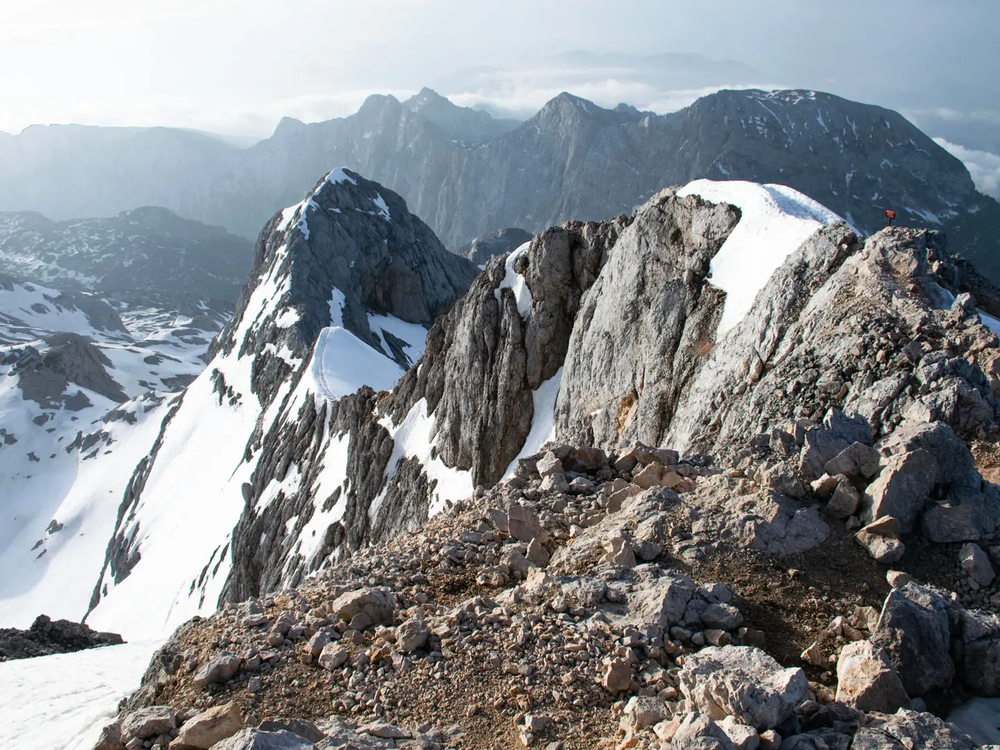
The summit via ferrata ridge: The final ridge is secured with fixed steel cables, iron pegs and pins. It is exposed, sustained and the main reason a helmet, harness and via ferrata set are essential.
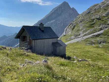
Triglavski dom na Kredarici (2,515 m): Slovenia’s highest and busiest mountain hut sits just below the summit ridge. It is the classic overnight base and also hosts a high-altitude weather station.
Krma Valley: This U-shaped glacial valley gives the easiest-gradient approach to Triglav. It rises through forest and alpine pasture before the upper mountain becomes steeper.
Triglav National Park: Slovenia’s only national park protects the limestone peaks, Seven Lakes valley, remnant Triglav glacier and alpine habitats around the massif.
First-ascent heritage (1778): Triglav was climbed by Willomitzer, Rozic, Korosec and Kos under the patronage of Sigmund Zois, giving the mountain a strong place in Alpine exploration history.
Challenges to expect
The difficulty is concentrated on the upper mountain: steep rock, exposure, fixed cables and iron pegs on the summit ridge. Around 2,000 m of ascent is typical from valley trailheads, with rock, scree and dirt underfoot. Afternoon storms are a serious summer risk, so start early. Hut bunks should be reserved in July and August. Outside summer to early autumn, this becomes a winter mountaineering objective.
HikeList Score
Triglav Summit Trail scored 73/100 on HikeList's trail-quality metrics.
See score breakdownHide breakdown
- Ideal length 63
- Balanced challenge 38
- Scenery & wildness 88
- Varied terrain 94
- Accommodation 66
- Food & support 88
- Path quality 98
- Season flexibility 76
Computed from length, challenge, scenery & wildness, terrain variety, accommodation, food & support, path quality and season flexibility.
 Slovenia
Show more data Show less
- Mountain
- Alpine
- Rock
- Forest
- Rock
- Scree
- Dirt
- Huts
- Guesthouses
- Pet Friendly
- Restrooms
- Water Sources
- Campsites
- Shelters
In these collections
Photos from hikers
Taken on the trail by people who've reviewed Triglav Summit Trail.
Start from a chosen trailhead such as Rudno Polje on Pokljuka, Krma Valley near Mojstrana or Vrata Valley. Walk the marked approach to a hut such as Vodnikov dom, Dom Planika or Triglavski dom na Kredarici, depending on route choice and conditions.
Leave early for the protected summit ridge, using helmet, harness and via ferrata set on the fixed cables and pegs. Reach the summit and Aljaz Tower, then descend by the same route or by a common variant between Kredarica and Planika if conditions and experience allow.
Reviews
How would you rate Triglav Summit Trail?
Tap a star to start your review — you could be the first.