Bohinj to Triglav Trail
How would you rate Bohinj to Triglav Trail?
Tap a star to share your experience and help other hikers.
Bohinj to Triglav Trail: Lake-to-Summit Hiking Guide
HikeList Score
Bohinj to Triglav Trail scored 77/100 on HikeList's trail-quality metrics.
See score breakdownHide breakdown
- Ideal length 63
- Balanced challenge 74
- Scenery & wildness 88
- Varied terrain 100
- Accommodation 58
- Food & support 72
- Path quality 98
- Season flexibility 76
Computed from length, challenge, scenery & wildness, terrain variety, accommodation, food & support, path quality and season flexibility.
The Bohinj to Triglav Trail is a hard two-day alpine ascent in Slovenia, climbing from the Lake Bohinj area to Mount Triglav, the country’s 2,864 m high point. The standard one-way route is about 25 km, with roughly 2,500 m of cumulative ascent, usually split over two 6–8 hour days. It suits fit, sure-footed hikers who are comfortable on steep limestone terrain, exposed ridges and steel-cabled via ferrata sections near the summit.
Route Overview
Most hikers start above or near Lake Bohinj, typically at Planina Blato or the Savica Waterfall car park, then climb through forest, pasture and the Valley of the Triglav Lakes to Koča pri Triglavskih jezerih. Day two continues via Koča na Doliču and/or Dom Planika pod Triglavom before the final cabled ridge to the Aljaž Tower on Triglav’s summit. This is a point-to-point ascent, though many hikers descend by a different valley or make a full out-and-back. Parking and the Savica Waterfall trail carry small charges. For other Slovenian objectives, compare the Mount Vogel Loop or the Kranjska Gora to Trenta Trail.
Triglav, the Aljaž Tower and Slovenian identity
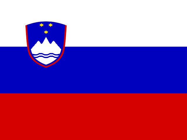
Triglav means “three heads” and is the central mountain symbol of Slovenia, appearing on the national flag and coat of arms. A popular saying holds that you are not a true Slovene until you have stood on its summit. In 1895, the priest Jakob Aljaž bought the summit and erected the metal Aljaž Tower, now a landmark of Slovenian alpinism. The mountain is the centrepiece of Triglav National Park, Slovenia’s only national park.
Notable highlights
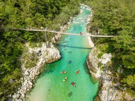
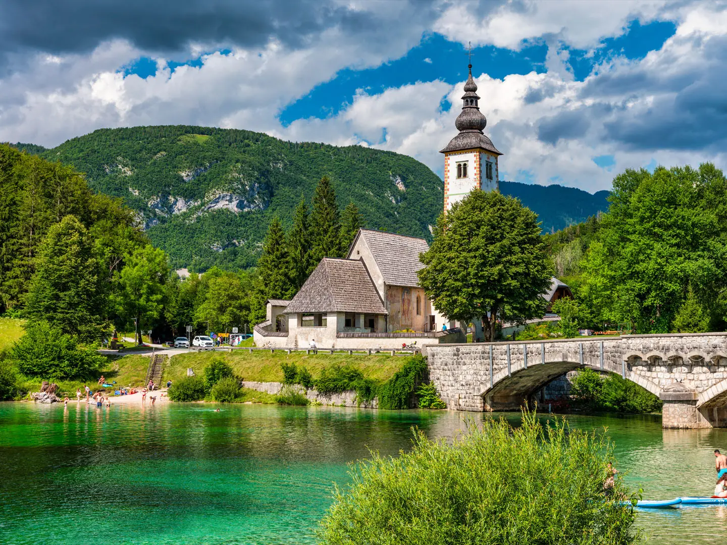
Lake Bohinj (Slovenia’s largest natural lake): A glacial lake ringed by the Julian Alps and the usual launch area for the southern approach to Triglav.
Savica Waterfall (78 m): An A-shaped waterfall near the western trailhead, fed by water draining from the Triglav Lakes Valley.
Valley of the Triglav Lakes (strict nature reserve): A glacial karst valley with alpine lakes including Black Lake, Double Lake and Great Lake; it is one of the defining sections of the route.
Dom Planika pod Triglavom (2,401 m): The highest large mountain hut in Slovenia and a common final base before the summit push.
Triglav summit and Aljaž Tower (2,864 m): The roof of Slovenia, marked by the cylindrical metal tower that has become a national symbol.
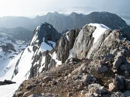
Summit via ferrata (steel cables and pegs): The final ridge is short, airy and exposed, and is the technical crux of the Bohinj approach.
Challenges to expect
Expect a big alpine effort: around 2,500 m of cumulative climbing, long 6–8 hour walking days, rough limestone underfoot and exposed cabled sections near the summit. Snow can linger into early summer and weather changes fast above the tree line. Huts are the practical resupply and overnight option, but booking is essential in July and August. Camping and fires are restricted inside Triglav National Park.
HikeList Score
Bohinj to Triglav Trail scored 77/100 on HikeList's trail-quality metrics.
See score breakdownHide breakdown
- Ideal length 63
- Balanced challenge 74
- Scenery & wildness 88
- Varied terrain 100
- Accommodation 58
- Food & support 72
- Path quality 98
- Season flexibility 76
Computed from length, challenge, scenery & wildness, terrain variety, accommodation, food & support, path quality and season flexibility.
 Slovenia
Show more data Show less
- Mountainous
- Forest
- Alpine
- Karst
- Dirt
- Gravel
- Rocky
- Limestone
- Via Ferrata
- Huts
- Campsites
- Pet Friendly
- Restrooms
- Water Sources
- Campsites
- Shelters
Photos from hikers
Taken on the trail by people who've reviewed Bohinj to Triglav Trail.
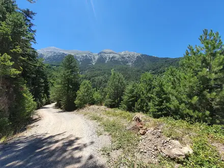
Start from Planina Blato or the Savica Waterfall car park and climb from forest and gravel tracks into open limestone pasture and the Valley of the Triglav Lakes. The classic overnight stop is Koča pri Triglavskih jezerih, around 1,685 m, in the Seven Lakes Valley.
Continue through higher rocky terrain, commonly via Koča na Doliču and/or Dom Planika pod Triglavom, then tackle the protected summit ridge. Steel cables and pegs help on the exposed final section to the Aljaž Tower on Mount Triglav at 2,864 m.
Reviews
How would you rate Bohinj to Triglav Trail?
Tap a star to start your review — you could be the first.