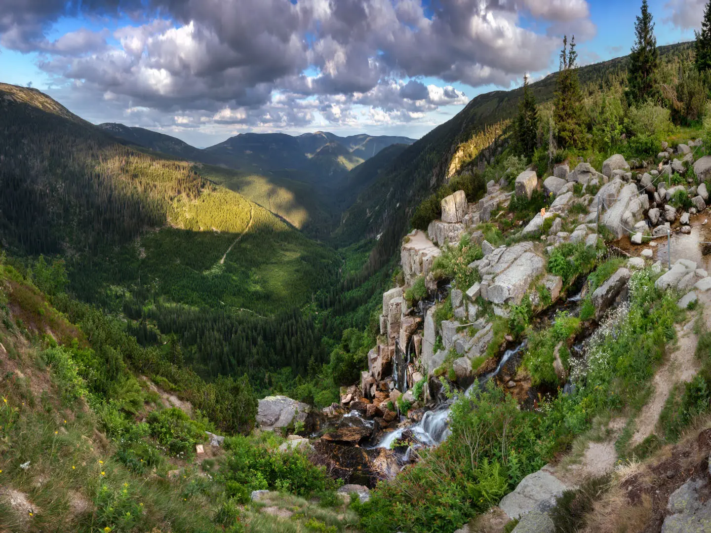
Stezka Českem (Trail Across Czechia)
How would you rate Stezka Českem (Trail Across Czechia)?
Tap a star to share your experience and help other hikers.
Stezka Českem: Trail Across Czechia Northern Branch Guide
HikeList Score
Stezka Českem (Trail Across Czechia) scored 79/100 on HikeList's trail-quality metrics.
See score breakdownHide breakdown
- Ideal length 52
- Balanced challenge 84
- Scenery & wildness 78
- Varied terrain 100
- Accommodation 84
- Food & support 88
- Path quality 84
- Season flexibility 89
Computed from length, challenge, scenery & wildness, terrain variety, accommodation, food & support, path quality and season flexibility.
Stezka Českem, the Trail Across Czechia, is a hard ~1,000 km point-to-point thru-hike across northern Czechia, usually taking around 40 full walking days. The Northern Branch runs from the westernmost point near Krásná to Bukovec in the Beskids, linking existing Czech Tourist Club waymarked paths through border mountains, sandstone rock areas and high ridges. It suits experienced long-distance hikers who want a low-cost, flexible European thru-hike with huts, pensions, tent options and community trail support.
Route Overview
The listed route is the original Northern Branch, walked west to east from near Krásná in the Ore Mountains to Bukovec, the easternmost point of the Czech Republic. It is officially divided into 9 main stages: Krásná–Klínovec, Krušné hory, České Švýcarsko–Lužické hory, Jizerské hory–Krkonoše, Adršpach–Broumovsko, Orlické hory, Jeseníky, Podbeskydí and Beskydy. Expect a continuous mountain-border traverse near Germany and Poland, with short cross-border excursions in places. The verified brief does not specify trailhead transport details. For shorter Czech mountain walks, compare the Krkonoše-based Černá Hora to Pec pod Sněžkou.
How Stezka Českem Began
Stezka Českem was conceived in 2019 by Czech long-distance hiker Martin Úbl and friends while walking Canada’s Great Divide Trail. They launched the ~1,000 km west-to-east Northern Branch in September 2020 as a non-commercial volunteer project. The Czech Tourist Club added official trail-marking in spring 2022, and the route entered the FarOut app the same year. A Southern Branch was later added, bringing the wider system close to a 2,000 km circuit around Czechia.
Notable highlights
- Sněžka (1,603 m): The highest mountain in Czechia sits in the Giant Mountains on the Czech–Polish border. The Krkonoše section is the route’s high-mountain centrepiece, with an optional high variant over the summit.
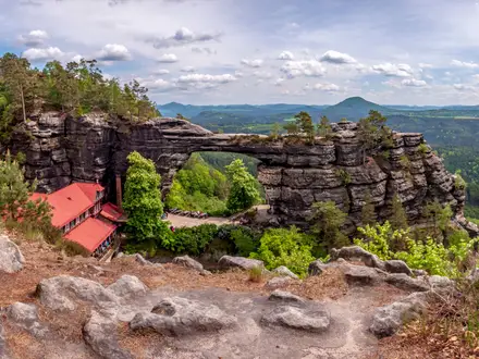
- Bohemian Switzerland and Lusatian Mountains: This northern section passes sandstone scenery, gorges and pinnacles. Nearby shorter options include Edmund’s Gorge to Hřensko and the Jetřichovice Lookout Trail.
- Adršpach-Teplice Rocks and Broumovsko: These sandstone “rock towns” give the route some of its most distinctive rocky walking, contrasting with the forested border ranges.
- Hrubý Jeseník: The Jeseníky main stage is the longest listed stage at ~142 km and crosses Czechia’s second-highest mountain range. The Bílá Opava Valley Path is a related shorter hike in the area.
- Westernmost-to-easternmost crossing: The route links the far west near Krásná to Bukovec in the Beskids, giving Czechia a true end-to-end thru-hike.
Challenges to expect
The difficulty comes from scale: ~1,000 km, roughly 29,000 m of cumulative ascent and repeated mountain ranges. Terrain shifts between forest tracks, ridge paths, rocky sandstone passages, valleys and surfaced sections through settlements. Snow can linger or return on high ridges outside the May–September season. In national parks and protected areas, follow marked paths and local camping restrictions.
HikeList Score
Stezka Českem (Trail Across Czechia) scored 79/100 on HikeList's trail-quality metrics.
See score breakdownHide breakdown
- Ideal length 52
- Balanced challenge 84
- Scenery & wildness 78
- Varied terrain 100
- Accommodation 84
- Food & support 88
- Path quality 84
- Season flexibility 89
Computed from length, challenge, scenery & wildness, terrain variety, accommodation, food & support, path quality and season flexibility.
 Czechia
Show more data Show less
- Mountainous
- Forest
- Ridgeline
- Sandstone
- River Valley
- Foothills
- Dirt
- Rocky
- Gravel
- Paved
- Huts
- Hotels
- Campsites
- Wild Camping Spots
- Family Friendly
- Pet Friendly
- Restrooms
- Water Sources
- Campsites
- Shelters
- Picnic Areas
Photos from hikers
Taken on the trail by people who've reviewed Stezka Českem (Trail Across Czechia).
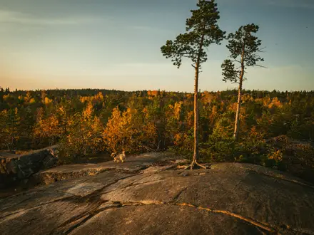
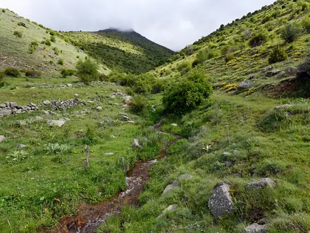
Starts near Krásná by Czechia’s westernmost point and heads into the Ore Mountains towards Klínovec.
Continues through the Ore Mountains on Czech Tourist Club waymarked paths along the northern border mountains.
Links Bohemian Switzerland with the Lusatian Mountains, including sandstone landscapes in the country’s north.
Crosses the Jizera Mountains into the Giant Mountains, with Sněžka as the highest point on the high Krkonoše variant.
Passes the Adršpach-Teplice Rocks and Broumovsko, known for sandstone rock towns and protected rocky terrain.
Traverses the Orlické Mountains as the route continues east across Czechia’s northern ranges.
The longest main stage crosses the Hrubý Jeseník, the second-highest mountain range in Czechia after the Krkonoše.
A shorter foothill stage leading towards the Beskids in the far east.
Finishes through the Beskids at Bukovec, Czechia’s easternmost point and the end of the Northern Branch.
Reviews
How would you rate Stezka Českem (Trail Across Czechia)?
Tap a star to start your review — you could be the first.