E6 European Long-Distance Trail (Greek Section)
How would you rate E6 European Long-Distance Trail (Greek Section)?
Tap a star to share your experience and help other hikers.
E6 European Long-Distance Trail: Greek Section Hiking Guide
HikeList Score
E6 European Long-Distance Trail (Greek Section) scored 81/100 on HikeList's trail-quality metrics.
See score breakdownHide breakdown
- Ideal length 52
- Balanced challenge 84
- Scenery & wildness 88
- Varied terrain 100
- Accommodation 84
- Food & support 81
- Path quality 98
- Season flexibility 89
Computed from length, challenge, scenery & wildness, terrain variety, accommodation, food & support, path quality and season flexibility.
The E6 European Long-Distance Trail Greek Section is an approximately 1,000 km point-to-point thru-hike across northern Greece, from Igoumenitsa on the Ionian/Adriatic coast to Alexandroupoli near the Turkish border. Allow roughly 45-60 days. This is a hard, remote mountain route for experienced, self-reliant walkers: waymarking is patchy, some sections follow roads, and detailed maps or GPS are strongly advised. For another Greek continental route, compare the E4 European Long-Distance Trail Greek Section.
Route Overview
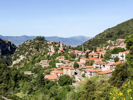
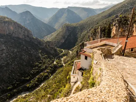
The Greek E6 is usually walked west to east. It starts officially at Igoumenitsa, climbs into the Pindus around Metsovo, crosses Valia Kalda / Northern Pindos National Park via Vovousa and the Valia Kalda meadows, then continues through Milia, Gotista, Samarina, Vasilitsa, Avdella, Perivoli, Mount Voio, Pentalofos and Nestorio to Kastoria, the Prespa Lakes and Florina. East of Florina it traverses Macedonia, including the Vermio, Pieria and Mount Olympus ranges, then enters the Rodopi mountains and Nestos region of Thrace before finishing near Alexandroupoli. Some descriptions add an extension to Mount Feggari/Saos on Samothraki. Specific transport services are not verified here, so plan endpoint logistics separately.
How the Greek E6 was created
Greece’s European-path network, including the E4 and E6, was established in 1990 by the Hellenic Federation of Mountaineering and Climbing. The original E6 line was traced largely from 1980s military maps, linking old shepherds’, traders’ and village paths that were not always passable by the time the route was marked. Maintenance was devolved to local authorities and mountaineering clubs. Some sections have since been cleared, GPS-surveyed and re-mapped; others remain neglected, unsignposted or diverted onto roads. The route also passes Ottoman-era bridges, Byzantine and traditional mountain villages.
Notable highlights
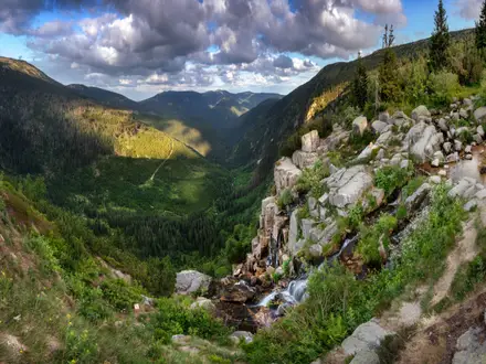
- Valia Kalda / Northern Pindos National Park: A remote glacial valley in the Pindus, known in Vlach as “warm valley”. The E6 crosses it between Vovousa and Milia, with forest, alpine meadows and one of the wildest protected landscapes on the route.
- Metsovo: A historic stone-built Vlach mountain town in the Pindus. It is one of the most practical western-section hubs for rest and resupply.
- Prespa Lakes: Two trans-boundary lakes shared by Greece, Albania and North Macedonia. The E6 reaches this national-park landscape in the north-west, an area noted for pelicans and birdlife.
- Mount Olympus: Greece’s highest massif and the mythological home of the gods. The eastern E6 traverses its ranges in central Macedonia.
- Mount Voio and Samarina: The trail follows almost the entire crest of Mount Voio and passes Samarina, one of Greece’s highest villages, deep in the Pindus.
- Rodopi mountains and the Nestos: Forested frontier ranges and the Nestos river region of Thrace shape the final mainland approach towards Alexandroupoli.
Challenges to expect
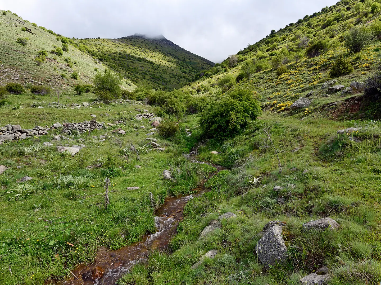
Expect a serious, uneven long-distance route rather than a continuously polished national trail. Much of the E6 crosses mountainous terrain on rocky paths, dirt and gravel tracks, and some paved-road sections where older paths were lost. Waymarking is red-and-yellow on the ground but can be patchy or absent. Snow can linger in high Pindus and Olympus areas into late spring. Long stretches have no facilities, so carry maps/GPS and plan food, water and overnight stops carefully. If you want a shorter Greek mountain alternative, see the Agrafa Mountains Circuit; for an island-based E4 option, see the E4 Trail Crete Section.
HikeList Score
E6 European Long-Distance Trail (Greek Section) scored 81/100 on HikeList's trail-quality metrics.
See score breakdownHide breakdown
- Ideal length 52
- Balanced challenge 84
- Scenery & wildness 88
- Varied terrain 100
- Accommodation 84
- Food & support 81
- Path quality 98
- Season flexibility 89
Computed from length, challenge, scenery & wildness, terrain variety, accommodation, food & support, path quality and season flexibility.
 Greece
Show more data Show less
- Mountainous
- Forest
- River Valleys
- Lakes
- Rocky
- Dirt
- Gravel
- Some Paved Road
- Mountain Huts
- Village Guesthouses
- Hotels
- Campsites
- Wild Camping
- Pet Friendly
- Water Sources
- Campsites
- Shelters
Photos from hikers
Taken on the trail by people who've reviewed E6 European Long-Distance Trail (Greek Section).
Reviews
How would you rate E6 European Long-Distance Trail (Greek Section)?
Tap a star to start your review — you could be the first.