GR86 (Soria Mountains Trail)
How would you rate GR86 (Soria Mountains Trail)?
Tap a star to share your experience and help other hikers.
GR86 (Soria Mountains Trail): Soria’s Big Iberian Loop
HikeList Score
GR86 (Soria Mountains Trail) scored 76/100 on HikeList's trail-quality metrics.
See score breakdownHide breakdown
- Ideal length 52
- Balanced challenge 70
- Scenery & wildness 74
- Varied terrain 94
- Accommodation 84
- Food & support 81
- Path quality 98
- Season flexibility 89
Computed from length, challenge, scenery & wildness, terrain variety, accommodation, food & support, path quality and season flexibility.
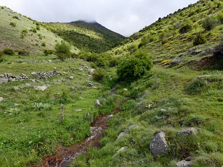
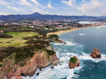
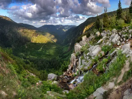
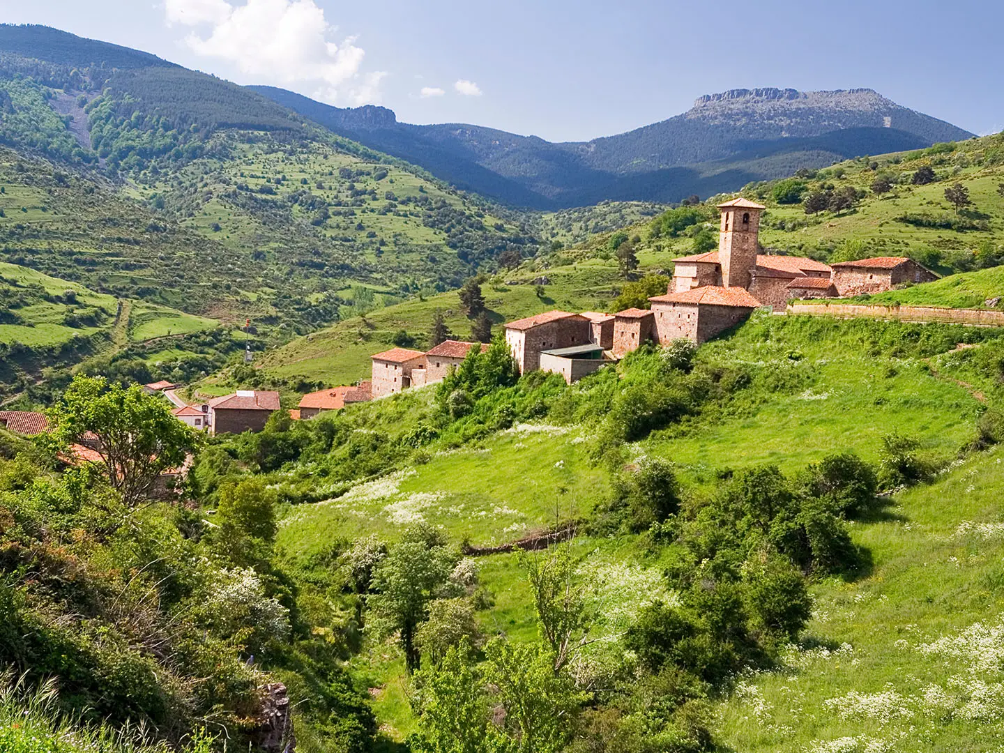
The GR86, officially the GR-86 Sendero Ibérico Soriano, is a 933 km loop around the Province of Soria in Castile and León, Spain. Allow about 39–40 days for a continuous thru-hike of the full waymarked itinerary. It is hard because of its length, remoteness, high sierras and cumulative effort, though individual stages are usually moderate. It suits experienced, self-sufficient walkers who want forest tracks, old drovers’ roads, high mountain sections and village-based logistics. For other Spanish route ideas, compare Circuito de Ezcaray and the Camino de Santiago (Camino Francés).
Route Overview
The GR-86 is an itinerario circular, not a point-to-point trail, encircling Soria province through the Sistema Ibérico. There is no fixed start/end, but Ágreda and Cueva de Ágreda beneath Moncayo are common reference points; the Komoot version runs anticlockwise from El Burgo de Osma. Official sources describe 39 stages, plus 6 derivations, 6 variants and 1 branch, with individual stages of 6–27 km. Key towns and areas include Almazán, Berlanga de Duero, Medinaceli, Arcos de Jalón, Vinuesa, Pinares de Urbión, Tierras Altas and the Valle del Tera. Public transport details are not specified in the verified brief, so plan access and exits around settlements.
History of the GR-86
The GR-86 was developed by the Diputación Provincial de Soria with the Federación de Deportes de Montaña de Castilla y León as a signed Gran Recorrido around the province. Its purpose is practical as much as scenic: it links Soria’s sierras, river valleys, historic towns and older routeways into one long circular itinerary. It also connects with neighbouring long-distance trails, including the GR-93 Sierras de la Rioja, GR-90 Sistema Ibérico Zaragozano and GR-260 La Calcenada.
Notable highlights
Cañón del Río Lobos Natural Park: A limestone canyon carved by the Río Lobos, with sabina juniper woodland, nesting griffon vultures and the Romanesque Templar hermitage of San Bartolomé.
Laguna Negra y Circos Glaciares de Urbión: A glacial tarn below steep cliffs in the Picos de Urbión. It is one of the key high-sierra landscapes on the northern side of the route and lies within a Natura 2000 protected site.
Moncayo / Pico San Miguel (2,315 m): The highest summit of the Sistema Ibérico and the high point associated with the GR-86 near Ágreda. Expect a more exposed, mountain feel here than on the lower forest and steppe stages.
Pinares de Urbión: Extensive managed pine forests in Soria Verde, crossed by broad forest tracks. These sections help explain why the GR-86 is also popular with mountain bikers.
Cultural heritage: The route links border castles such as Berlanga de Duero and Gormaz, the Roman and medieval town of Medinaceli with its triple Roman arch, the ruins of Tiermes, and traditional shepherd architecture in the Tierras Altas.
Challenges to expect
The main challenge is scale: 933 km and nearly six weeks on foot if walked continuously. Some northern sections reach cold, exposed high sierras around Urbión, Cebollera and Moncayo, while southern steppe and Duero valley stages can be hot in summer. There is no dedicated refuge network, so accommodation and resupply depend on villages, casas rurales, hostales, small hotels and occasional campsites. Waymarking is standard red-and-white GR paint, but carry mapping.
HikeList Score
GR86 (Soria Mountains Trail) scored 76/100 on HikeList's trail-quality metrics.
See score breakdownHide breakdown
- Ideal length 52
- Balanced challenge 70
- Scenery & wildness 74
- Varied terrain 94
- Accommodation 84
- Food & support 81
- Path quality 98
- Season flexibility 89
Computed from length, challenge, scenery & wildness, terrain variety, accommodation, food & support, path quality and season flexibility.
 Spain
SpainShow more data Show less
- Mountainous
- Forest
- Steppe
- River Valley
- Farmland
- Rocky
- Dirt
- Gravel
- Casas Rurales
- Hostales
- Hotels
- Campsites
- Pet Friendly
- Water Sources
- Campsites
- Shelters
Photos from hikers
Taken on the trail by people who've reviewed GR86 (Soria Mountains Trail).
Reviews
How would you rate GR86 (Soria Mountains Trail)?
Tap a star to start your review — you could be the first.