Sörmlandsleden
How would you rate Sörmlandsleden?
Tap a star to share your experience and help other hikers.
Sörmlandsleden: Sweden’s Lowland Trail Network
HikeList Score
Sörmlandsleden scored 81/100 on HikeList's trail-quality metrics.
See score breakdownHide breakdown
- Ideal length 52
- Balanced challenge 90
- Scenery & wildness 82
- Varied terrain 100
- Accommodation 84
- Food & support 88
- Path quality 87
- Season flexibility 89
Computed from length, challenge, scenery & wildness, terrain variety, accommodation, food & support, path quality and season flexibility.
Sörmlandsleden is a roughly 1,000 km orange-marked trail network through Södermanland, south and south-west of Stockholm in Sweden. It is moderate, lowland walking rather than alpine trekking: forest paths, lakeshores, rocky outcrops, wetlands, gravel roads and short coastal sections. Most hikers use it for day hikes or section hikes from Stockholm; a continuous thru-hike of the main spine takes roughly 4–6 weeks. It suits hikers who want flexible stages, easy access and wild-camping options.
Route Overview
The usual northern start of the main route is Björkhagen in southern Stockholm, on Stage 1 to Skogshyddan. From there the trail system runs south-west through Södermanland, passing or approaching Tyresta National Park, Nynäshamn, Södertälje, Trosa, Nyköping, Oxelösund, Katrineholm, Hälleforsnäs and Malmköping. This is not a simple point-to-point trail: it is a connected network with a main north–south through-route plus branches towards Flen, Eskilstuna, Gnesta and Mariefred. Many sections are accessible by public transport or parking, which makes Sörmlandsleden especially practical for day and weekend trips. For other Swedish long-distance options, compare the forest walking of Bergslagsleden, the west-coast Bohusleden and the coastal Höga Kustenleden.
History and maintenance
Sörmlandsleden is described as Sweden’s first lowland long-distance trail and one of its longest. The route was developed from the 1970s, and Föreningen Sörmlandsleden was established around 1980. The trail has grown into a roughly 1,000 km system of main sections, branches and loops. It is maintained by the non-profit volunteer association based in Oxelösund, with volunteer stewards responsible for individual sections.
Notable highlights
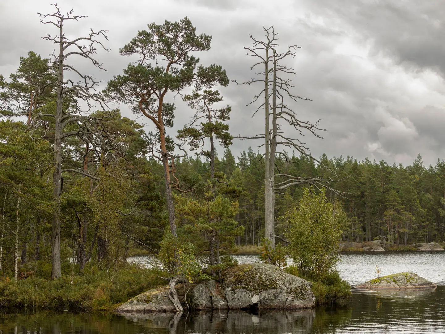
Tyresta National Park: Just south of Stockholm, the trail crosses ancient old-growth pine forest, lakes and rocky ground. Overnight stays in the park area are directed to wind shelters at Årsjön, Långsjön and Lanan.
ArkNat wind shelters: Nine architect-designed wind shelters sit along the trail and are free for hikers to use. They are a distinctive feature of Sörmlandsleden and useful for lightweight section hiking.
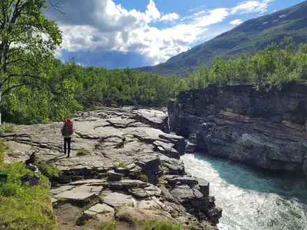
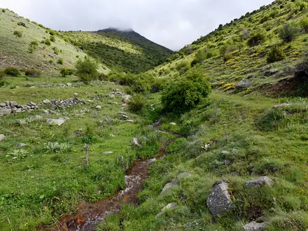
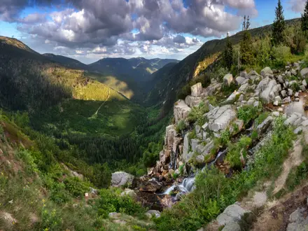
“Sweden in miniature” landscape: The route links pine and birch forest, lakeshores, rocky ridges, wetlands and Baltic coastline. It gives a varied sample of southern Swedish terrain without leaving lowland country.
Easy access from Stockholm: The main route starts at Björkhagen in the city, and many sections have public transport or parking nearby. This makes the trail unusually convenient for short trips as well as longer linking hikes.
Sörmland coast around Trosa, Stendörren and Nyköping: Southern stages reach Baltic shoreline and skerries, mixing forest paths with rocky coastal walking and archipelago views.
Lowland forest walking: Sörmlandsleden avoids alpine terrain, focusing on long, orange-marked paths through woods, lakeshores and old cultural landscapes.
Challenges to expect
Difficulty varies by section. Expect mostly easy-to-moderate lowland walking, but with roots, rocky outcrops, muddy or boggy stretches, wetland boardwalks and short steeper pitches near lakes and cliffs. Waymarking is orange rings, squares, signs and “S” arrows, but a map is still useful in the wider network. Summer insects can be a nuisance near water; winters are snowy.
HikeList Score
Sörmlandsleden scored 81/100 on HikeList's trail-quality metrics.
See score breakdownHide breakdown
- Ideal length 52
- Balanced challenge 90
- Scenery & wildness 82
- Varied terrain 100
- Accommodation 84
- Food & support 88
- Path quality 87
- Season flexibility 89
Computed from length, challenge, scenery & wildness, terrain variety, accommodation, food & support, path quality and season flexibility.
 Sweden
Show more data Show less
- Forest
- Coastal
- Lowland
- Lakeshore
- Wetland
- Rocky
- Dirt
- Gravel
- Boardwalk
- Road
- Shelters
- Huts
- Campsites
- Hotels
- Wild Camping Spots
- Family Friendly
- Pet Friendly
- Restrooms
- Water Sources
- Campsites
- Shelters
- Picnic Areas
Photos from hikers
Taken on the trail by people who've reviewed Sörmlandsleden.
Reviews
How would you rate Sörmlandsleden?
Tap a star to start your review — you could be the first.