Sierra Nevada High Route
How would you rate Sierra Nevada High Route?
Tap a star to share your experience and help other hikers.
Sierra Nevada High Route: Expert Ridge Traverse of Andalusia
HikeList Score
Sierra Nevada High Route scored 76/100 on HikeList's trail-quality metrics.
See score breakdownHide breakdown
- Ideal length 81
- Balanced challenge 44
- Scenery & wildness 88
- Varied terrain 100
- Accommodation 67
- Food & support 65
- Path quality 98
- Season flexibility 76
Computed from length, challenge, scenery & wildness, terrain variety, accommodation, food & support, path quality and season flexibility.
The Sierra Nevada High Route is the classic high-mountain crest traverse of the Sierra Nevada in Granada, Andalusia: about 75 km over 4-5 days, mostly above 3,000 m. Better known in Spanish as the Integral de los Tresmiles, it links the range’s main 3,000 m summits, including Mulhacen, Veleta and Alcazaba. This is an expert, very strenuous route in Spain: unmarked, exposed, rough underfoot and suited to self-sufficient hikers with strong navigation, scrambling and high-altitude mountain experience.
Route Overview
This is a point-to-point ridge traverse, conventionally from Picon de Jerez or the Trevelez side in the north-east to Cerro del Caballo above Lanjaron in the south-west, though it can be walked either way. Valley access is usually via Trevelez, Capileira, Lanjaron or Guejar Sierra. The route is not the signed GR-240 Sulayr, which circuits the massif; the High Route follows the unmarked crest. On the south side, private vehicles cannot go beyond Hoya del Portillo, but the summer/autumn SIAC shuttle from Capileira to Mirador de Trevelez can shorten the approach. For lower-level walking nearby see the Alpujarras Trail; for a marked Spanish mountain hut circuit, compare Carros de Foc.
Sierra Nevada history and mountain culture
The Sierra Nevada is mainland Spain’s highest range and part of the Betic Cordillera. Its valleys and place names reflect the Moorish legacy of the Nasrid Kingdom of Granada: Mulhacen is named after Abu’l-Hasan Ali, known in Spanish as Muley Hacen, the penultimate Muslim ruler of Granada. Below the crest, Las Alpujarras preserves Berber-influenced villages and irrigation channels. The range later gained biosphere-reserve status and was declared a National Park in 1999.
Notable highlights
- Mulhacen (3,479 m): The roof of mainland Spain and the Iberian Peninsula, and the highest point of the traverse. Its south and west approaches are non-technical walking, but the altitude and exposure make it a serious summit.
- Veleta (3,398 m): The range’s second summit and a major landmark on the central crest, standing above a dramatic glacial north face and close to the old ski-area road.
- Alcazaba (3,371 m): A rugged, more isolated peak on the northern arm of the massif. Reaching it gives the traverse one of its most remote and alpine-feeling sections.
- Laguna de la Caldera: A high glacial tarn below Mulhacen, widely used as a camp or bivouac spot. The Refugio Vivac de la Caldera shelter sits here.
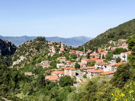
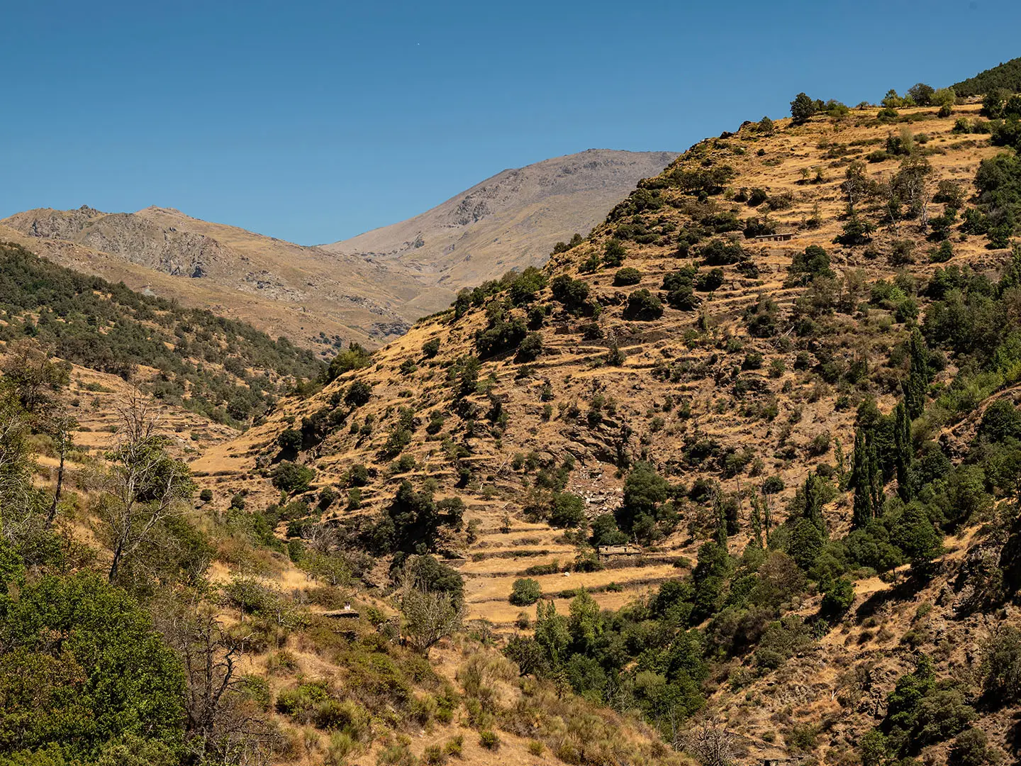
- Las Alpujarras and Trevelez: The terraced southern valleys below the crest are dotted with white villages. Trevelez is among Europe’s highest villages and is a common trailhead.
- Cerro del Caballo: The south-westernmost tresmil and the traditional end of the crest above Lanjaron, where the high ridge drops away toward the lowlands.
Challenges to expect
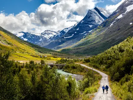
Expect long, exposed days above 3,000 m, often with 700-1,200 m of climbing. The ground is rough: micaceous-schist scree, boulderfields, faint mountain paths and occasional easy scrambling. There are no trail markers on the crest, no facilities, and little reliable water, so navigation and self-sufficiency are critical. Weather can change fast; snow and ice may remain into early summer.
HikeList Score
Sierra Nevada High Route scored 76/100 on HikeList's trail-quality metrics.
See score breakdownHide breakdown
- Ideal length 81
- Balanced challenge 44
- Scenery & wildness 88
- Varied terrain 100
- Accommodation 67
- Food & support 65
- Path quality 98
- Season flexibility 76
Computed from length, challenge, scenery & wildness, terrain variety, accommodation, food & support, path quality and season flexibility.
 Spain
SpainShow more data Show less
- Mountainous
- Alpine
- Ridge
- Glacial
- Rocky
- Scree
- Stony Mountain Path
- Pathless
- Wild Camping Spots
- Bivouac Shelters
- Huts
- Pet Friendly
- Water Sources
- Campsites
- Shelters
In these collections
Photos from hikers
Taken on the trail by people who've reviewed Sierra Nevada High Route.
Reviews
How would you rate Sierra Nevada High Route?
Tap a star to start your review — you could be the first.